Cycle from Fishguard to Holyhead over the (Irish) June bank holiday, 2023. The weather was warm, dry and gloriously sunny. Something to appreciate in Wales!
Day 0: Cycle to Bray and Train to Rosslare
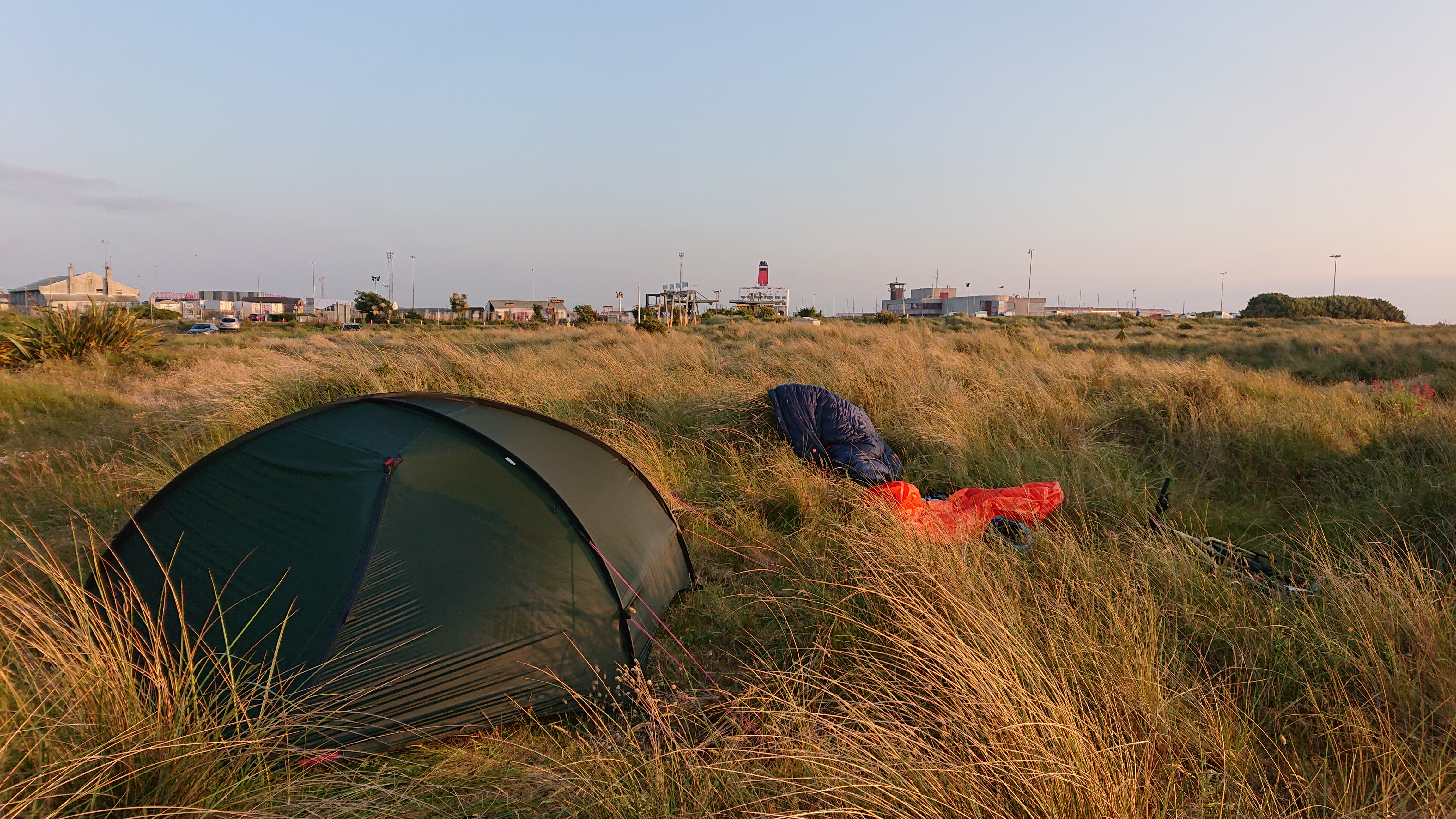
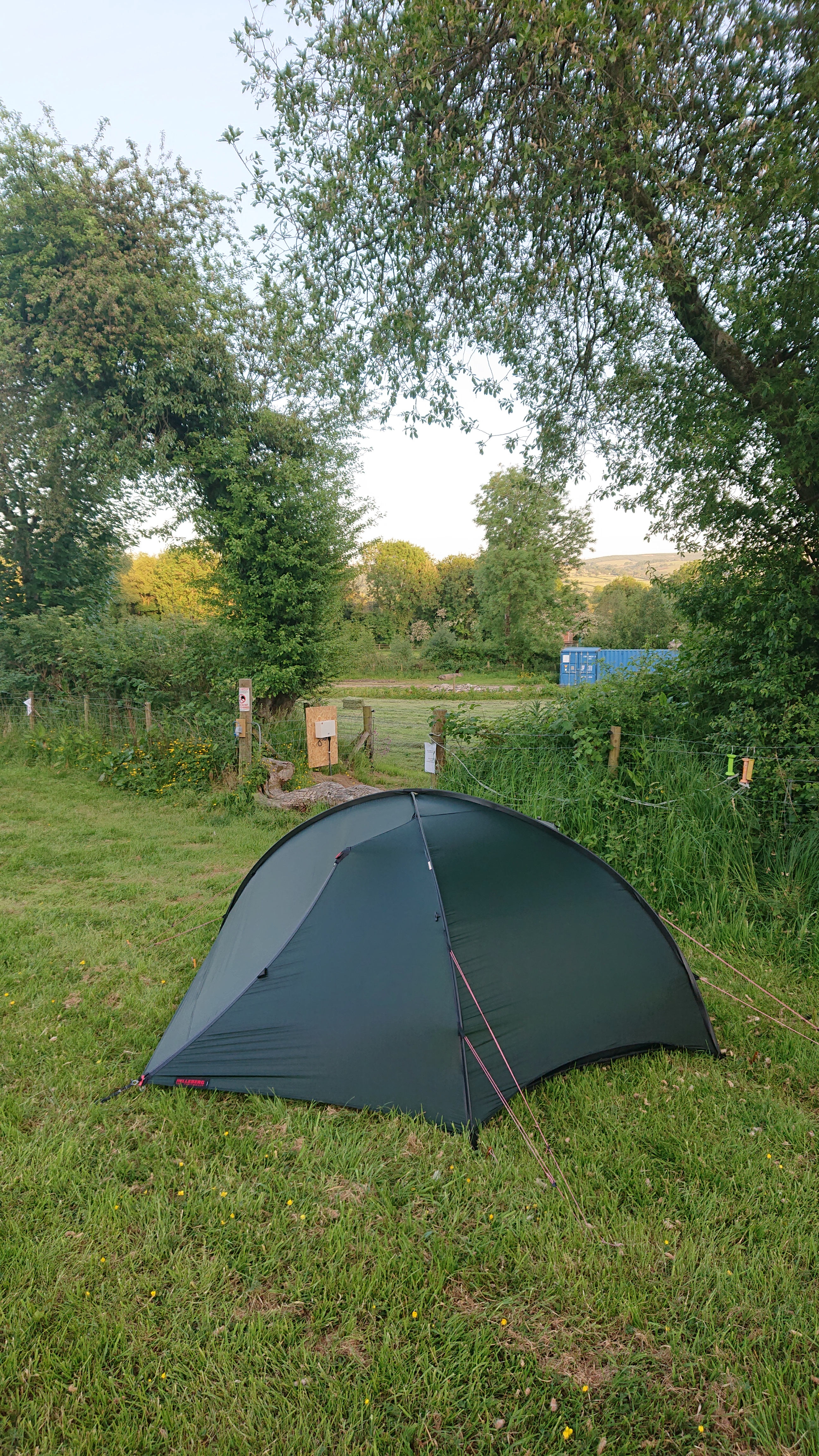
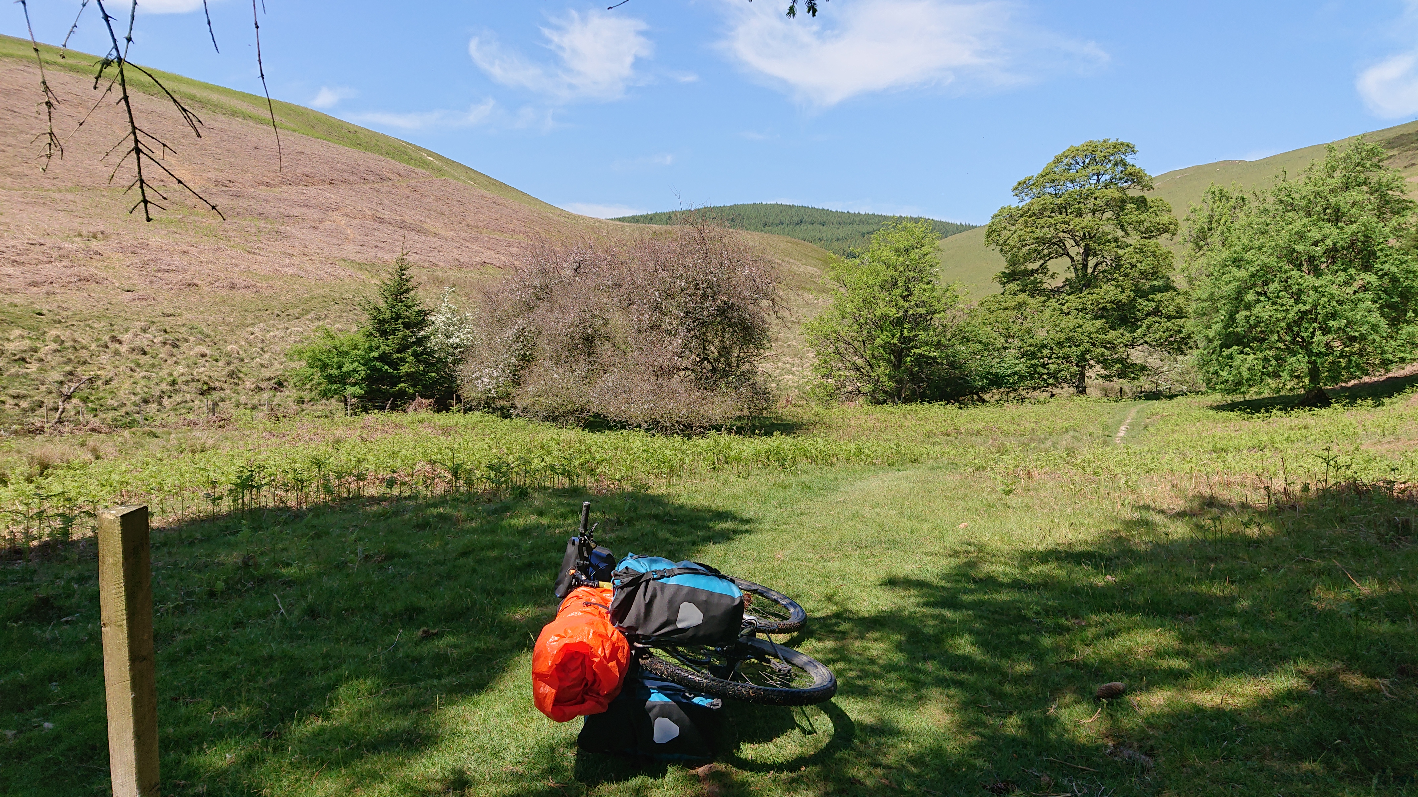
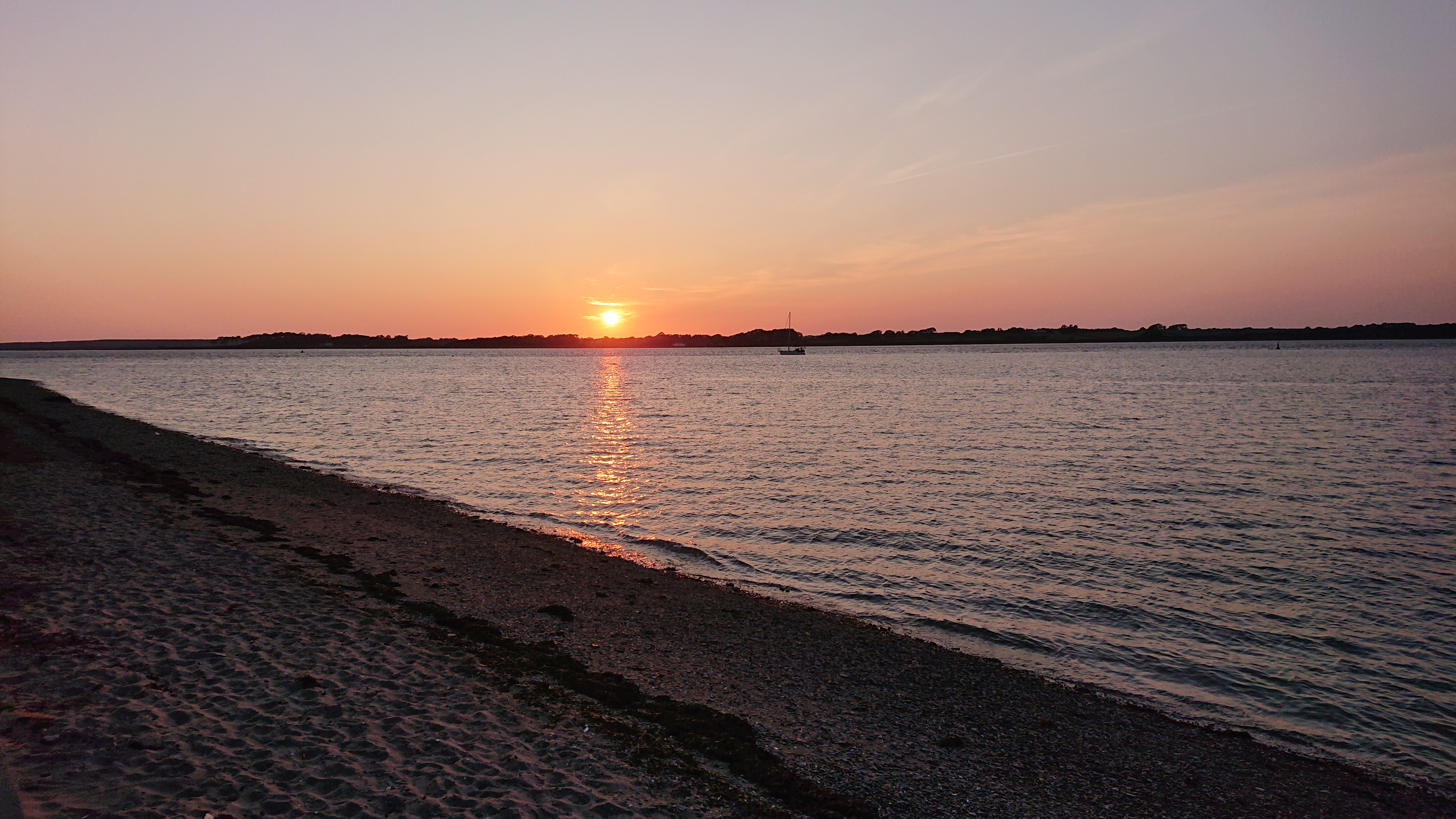
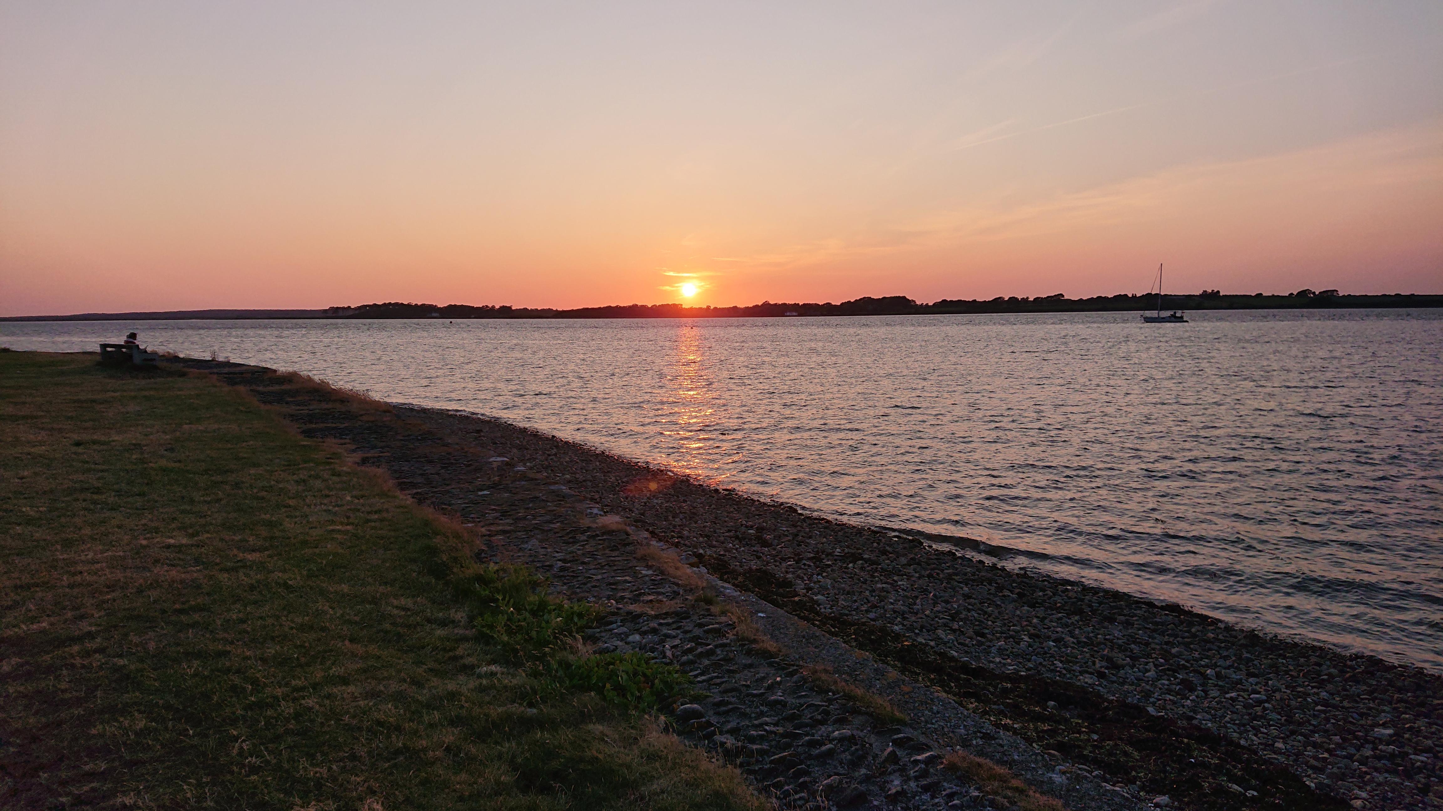
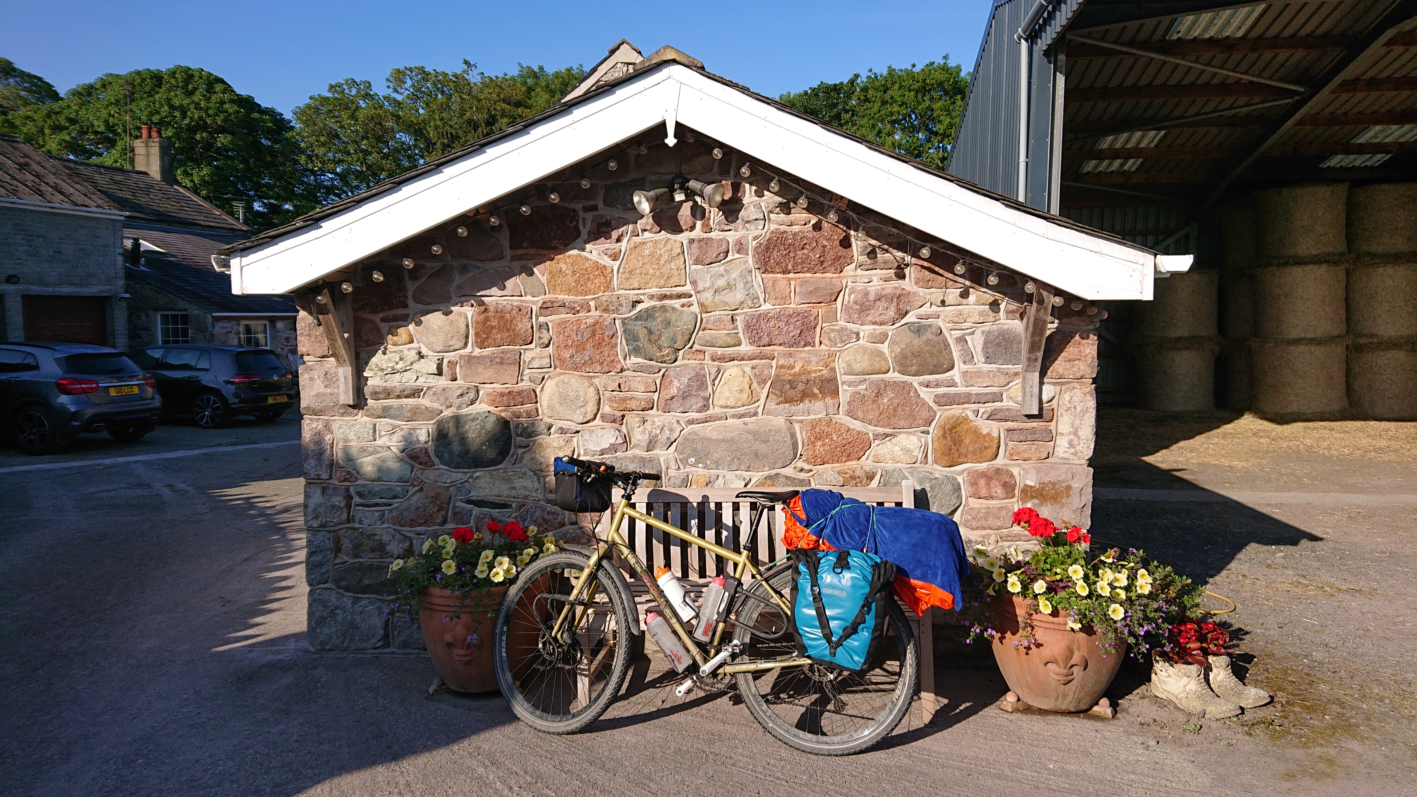
Packed and ready to go!Bray train stationOn the train to RosslareRosslareThe ferry port at RosslareMy room for the night. It was very windy and not particularly warm outside the tent.
Day 1: Ferry to Fishguard, Cycle to Lampeter
107km, 1,810m of ascent
Up early the next morning. The ferry left at 07:30!Packed quicklyHeading to Britannia o’er the waves!Fishguard
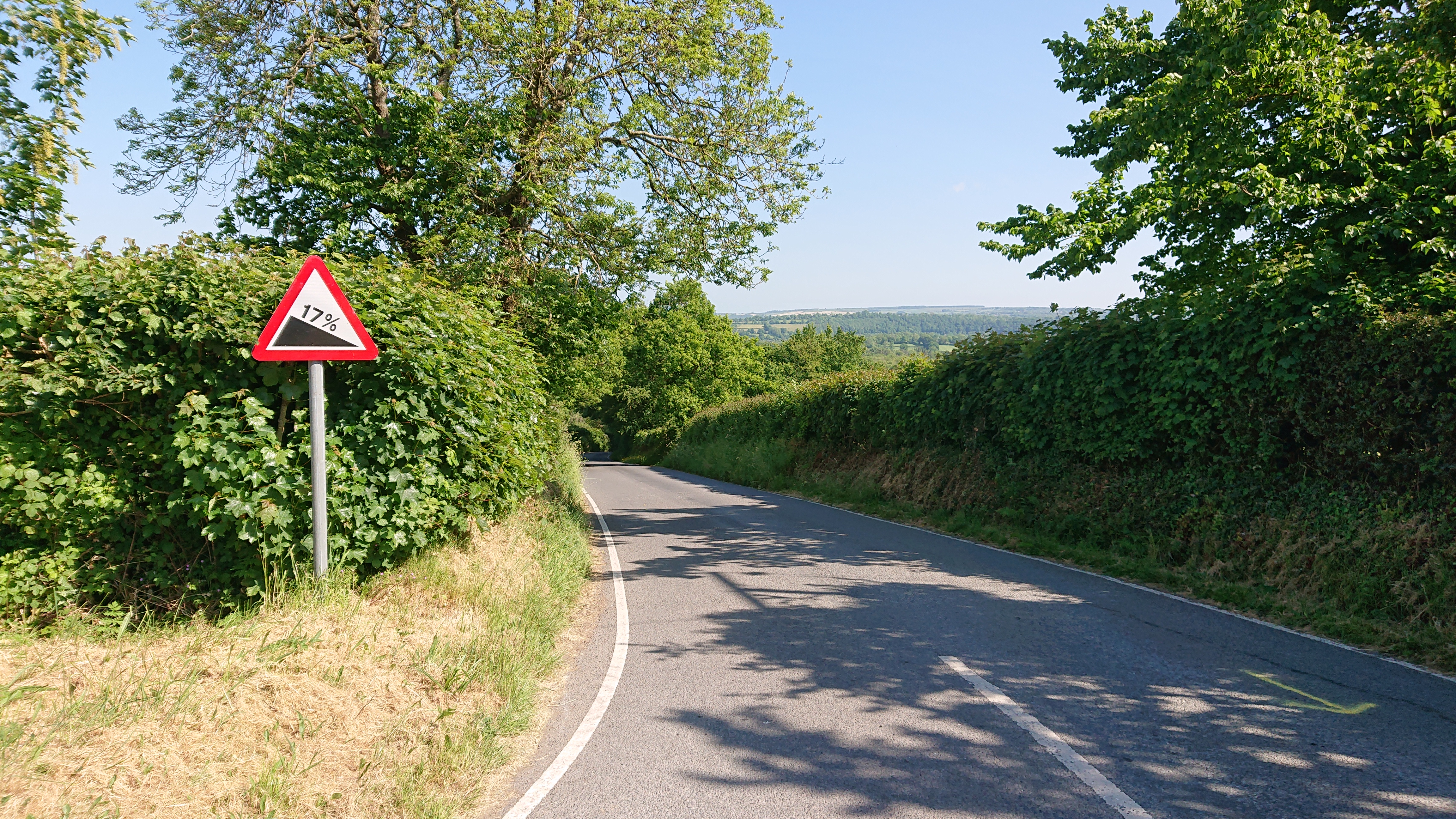
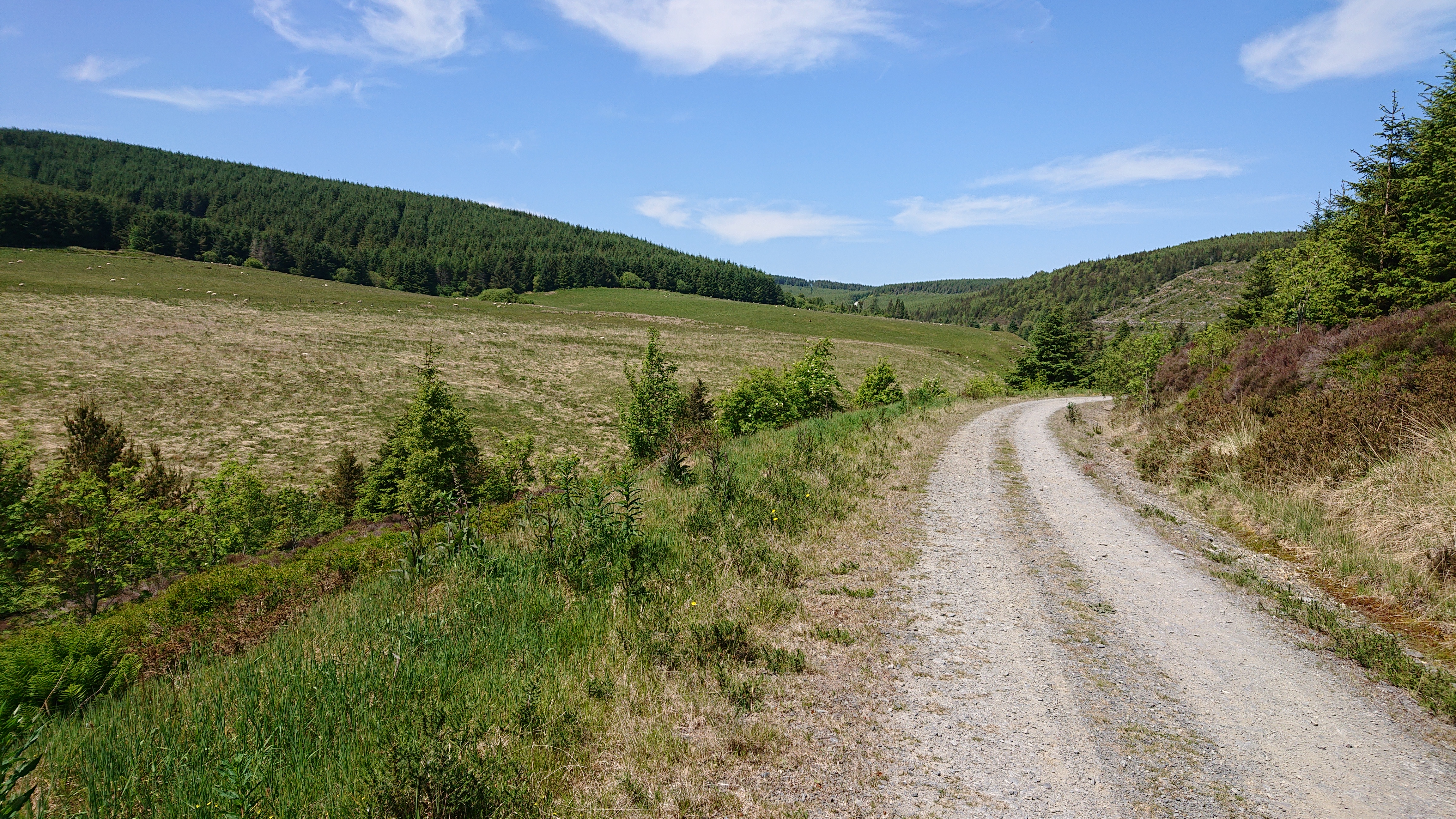
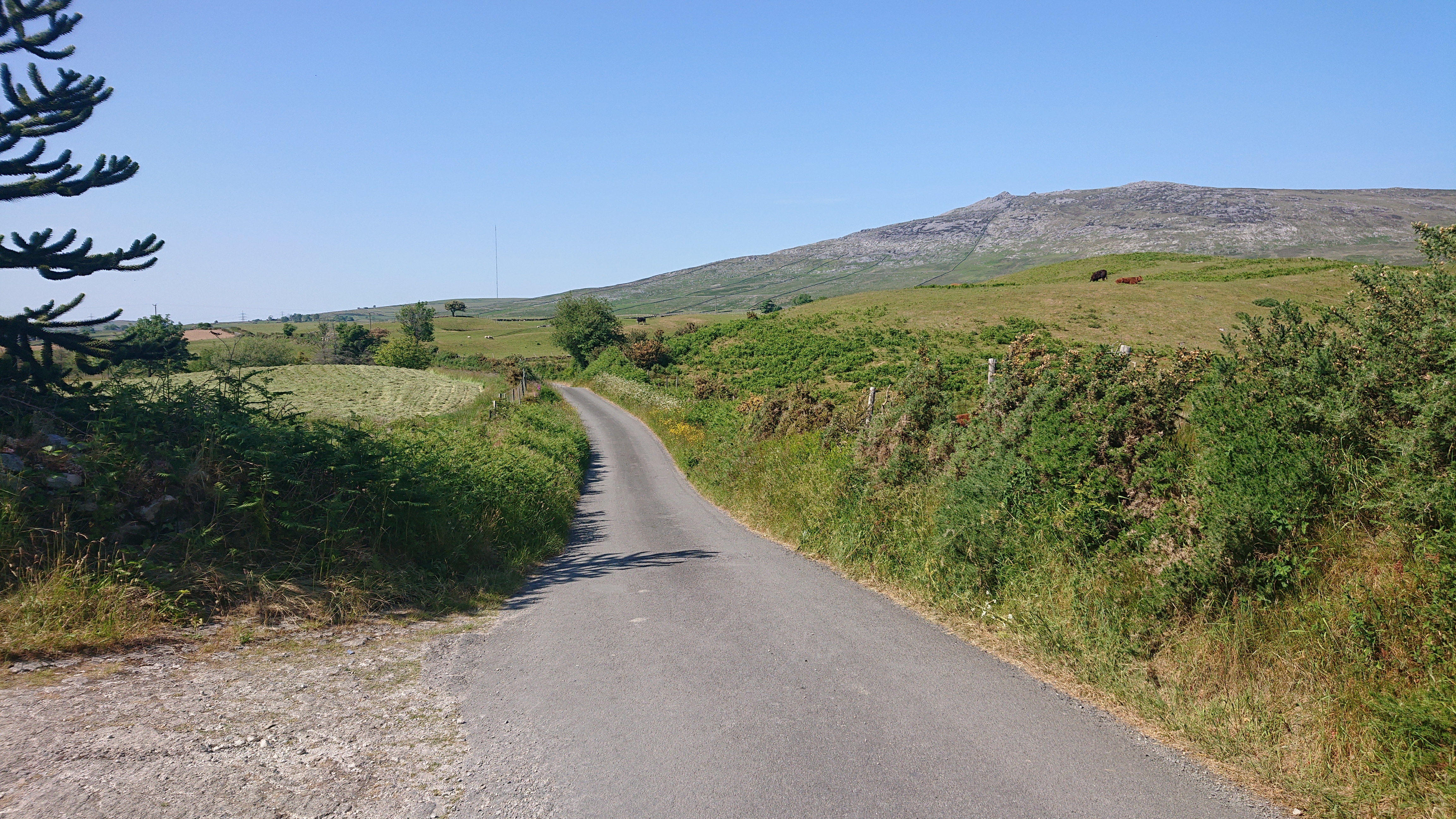
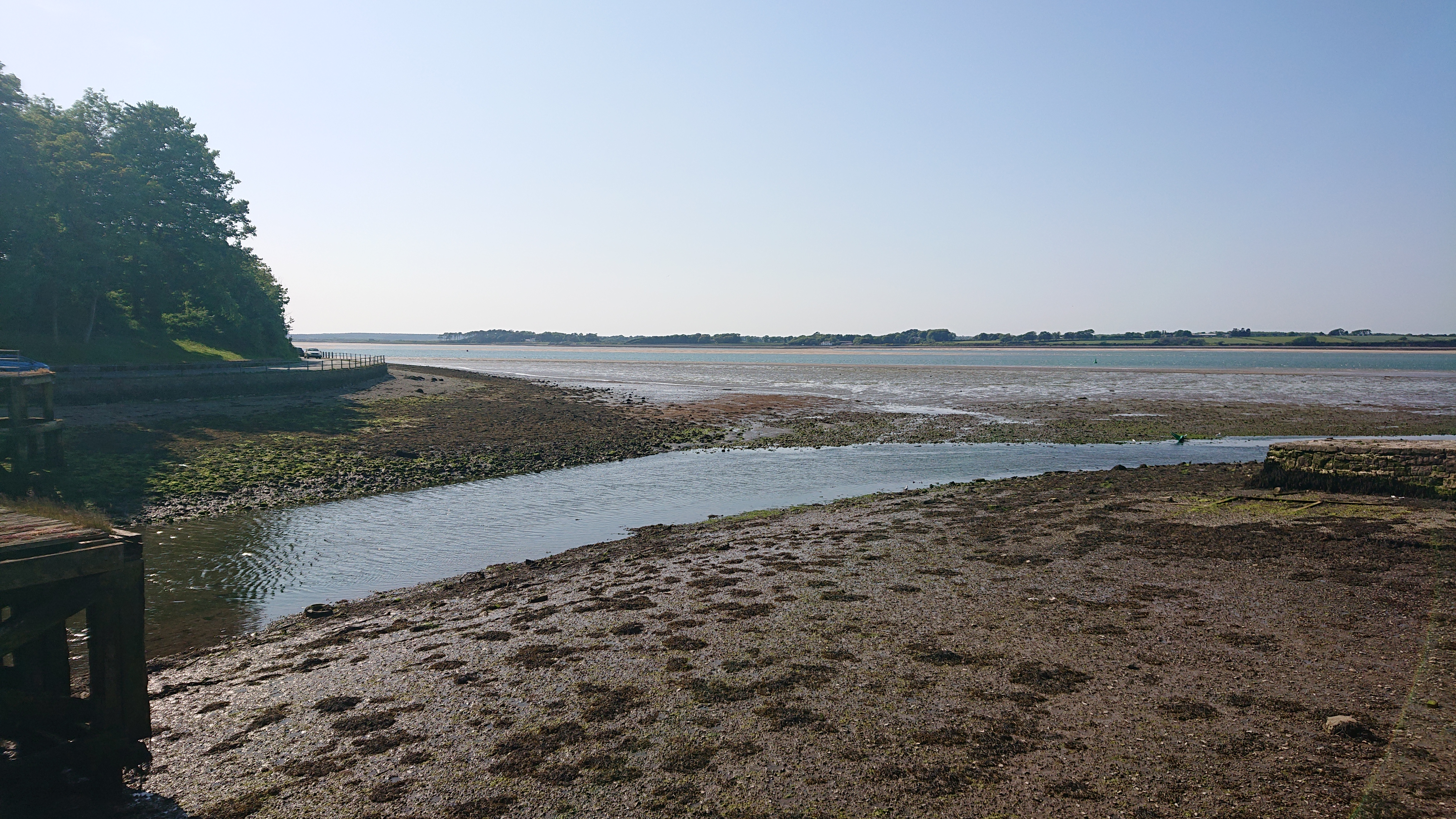
FishguardJust outside Fishguard: a sign of things to come. Severe gradients seem much more common in Wales than every other country I’ve cycled!G’wan outta dat!I was lulled into a false sense of security by this wonderfully pretty, deep and flat-bottomed valley. It wasn’t long until I was climbing out of it!
Afon Gwaun
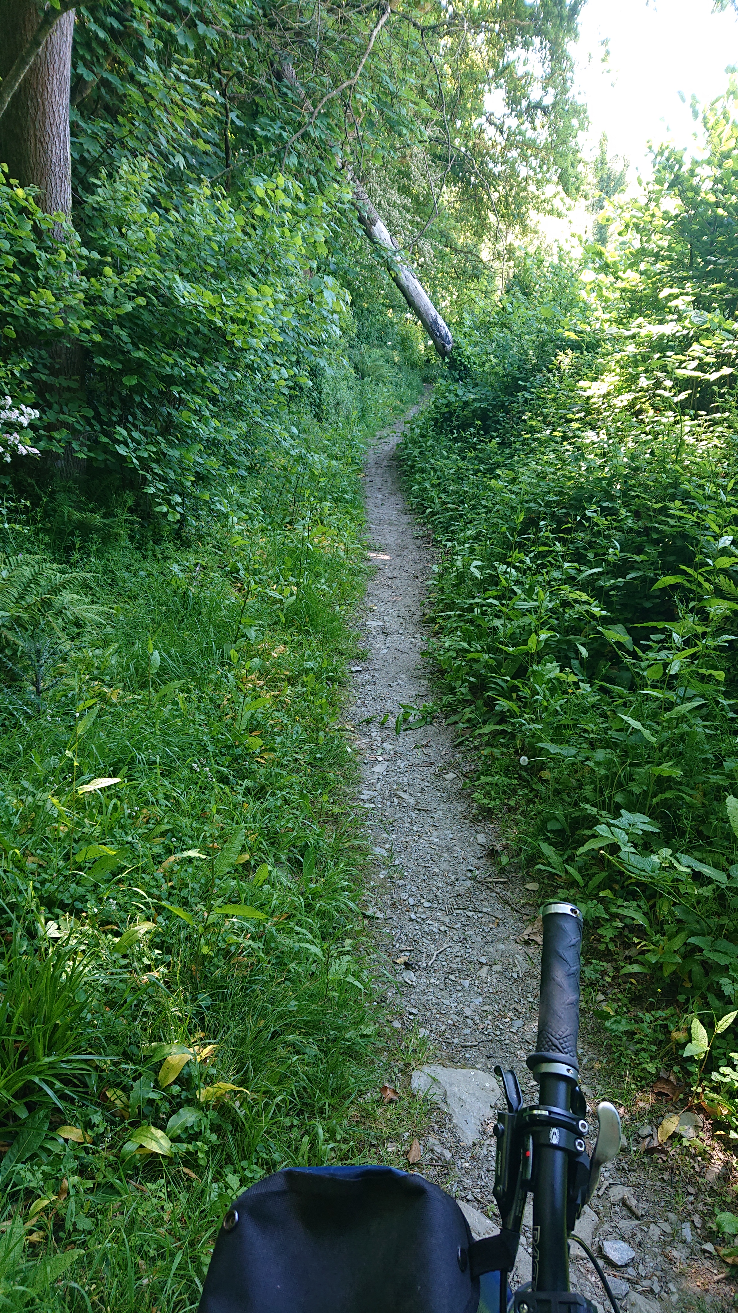
Cows in Cwm GwaunDoesn’t look like Tbilisi to me!Looks much better when you’re there!The first short off-road section began with some steps. This is actually on the national cycle route, although there was no sign pointing to the start of this track.
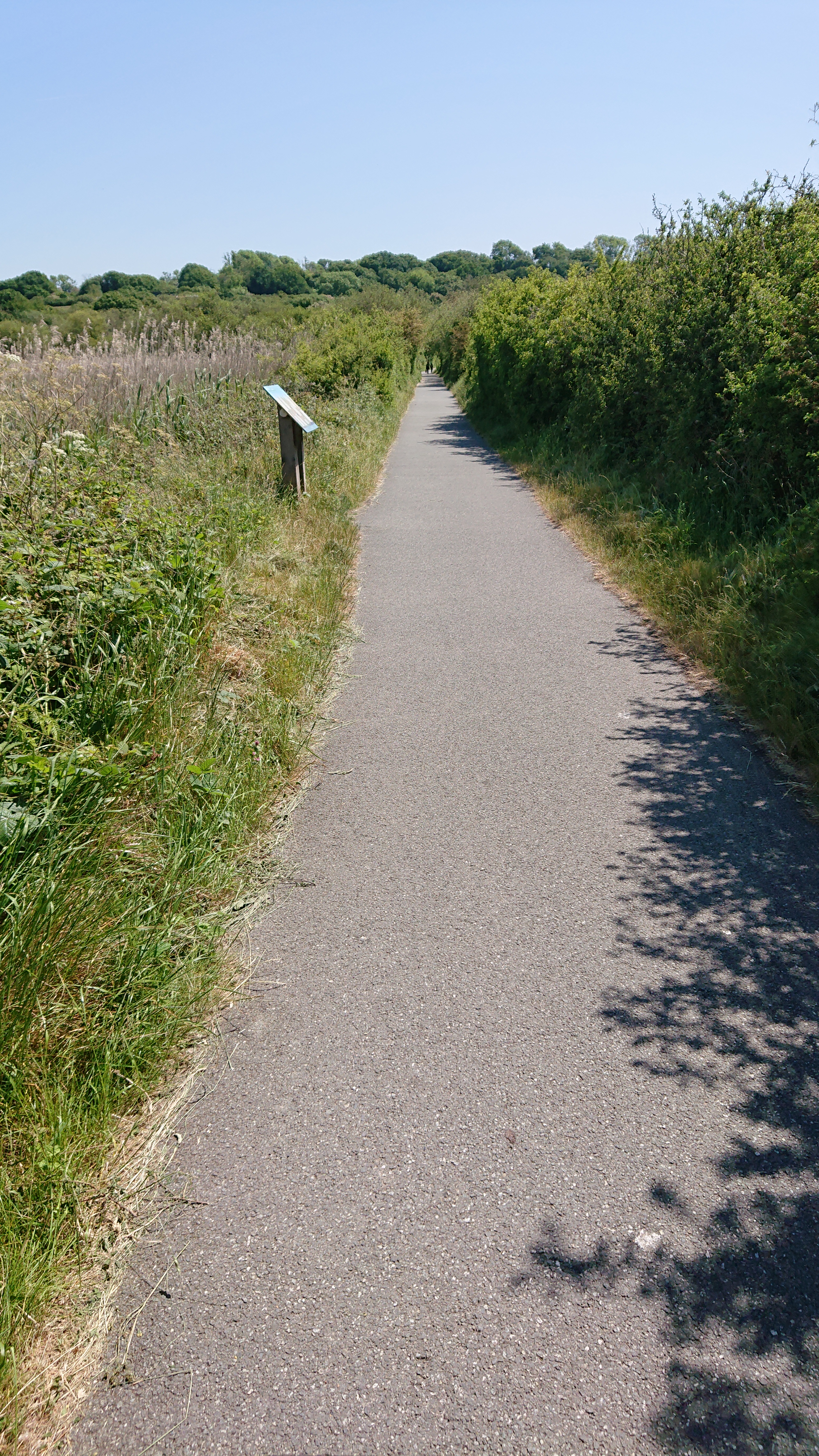
Forest Track East of NevernGot stung cycling through the many nettles…This section was only about 1.5km. It was tranquil and pretty, but not that rideable for the likes of hybrids, road bikes, or what most cycle tourists would have.Ford!
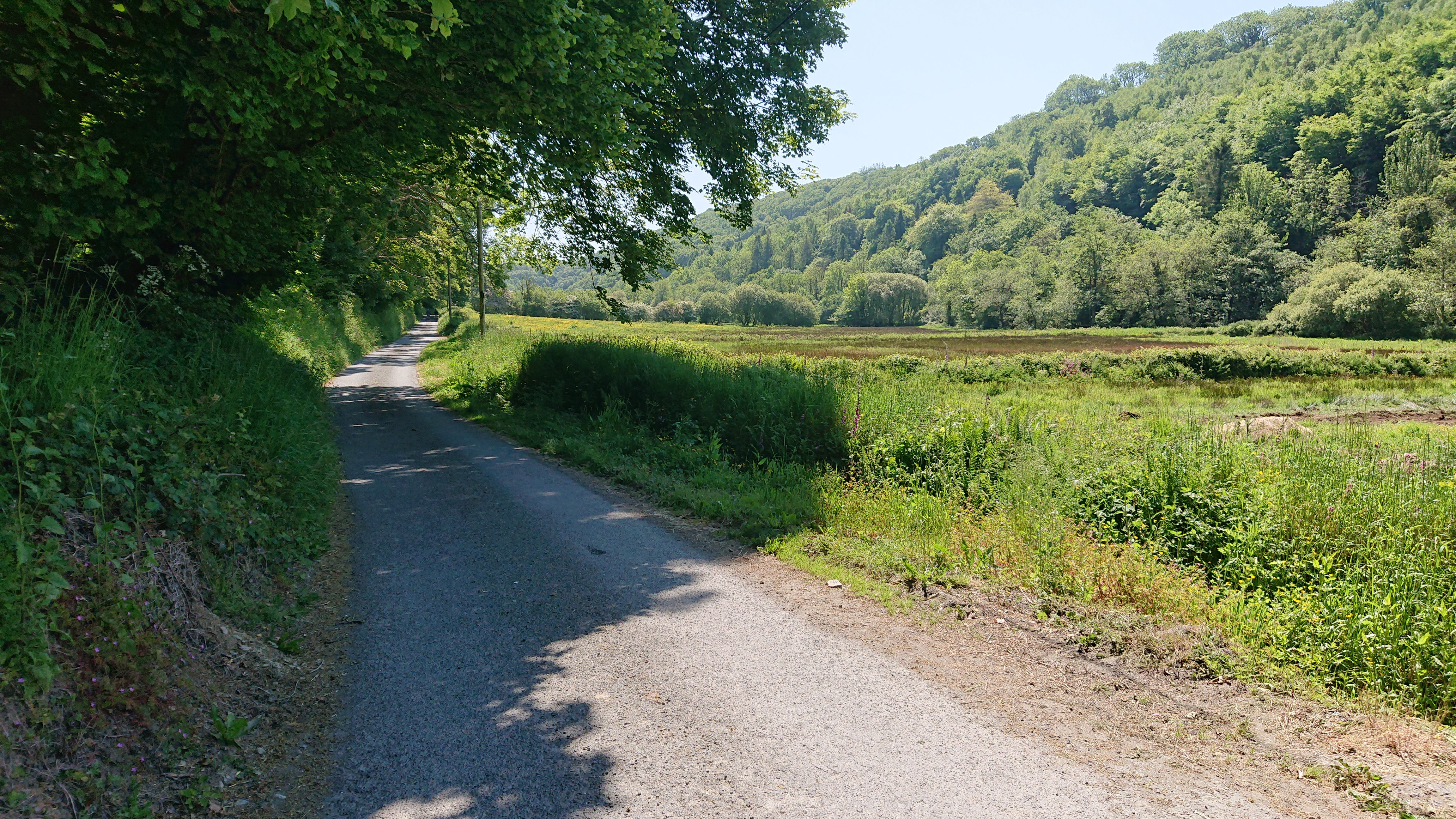
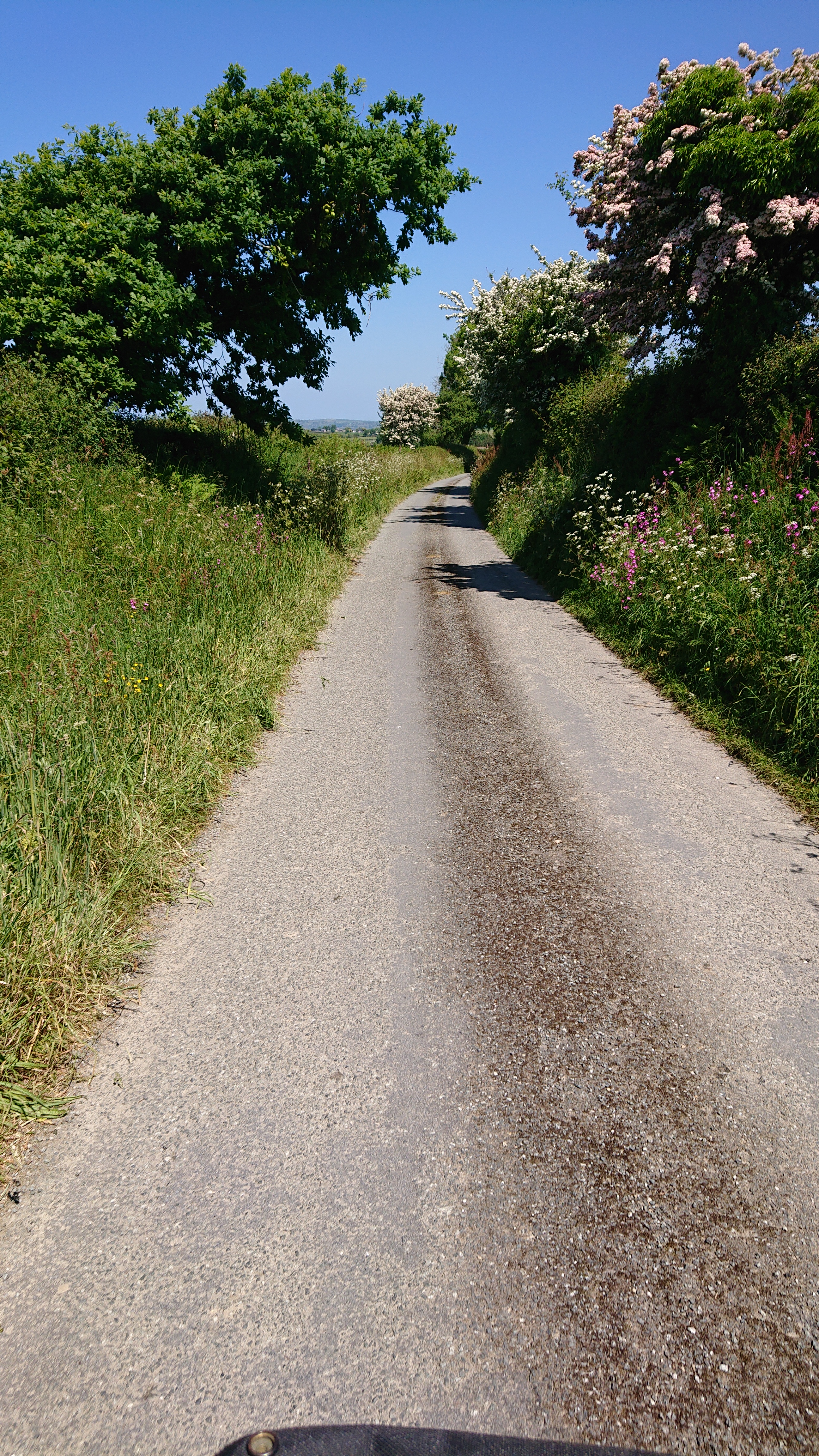
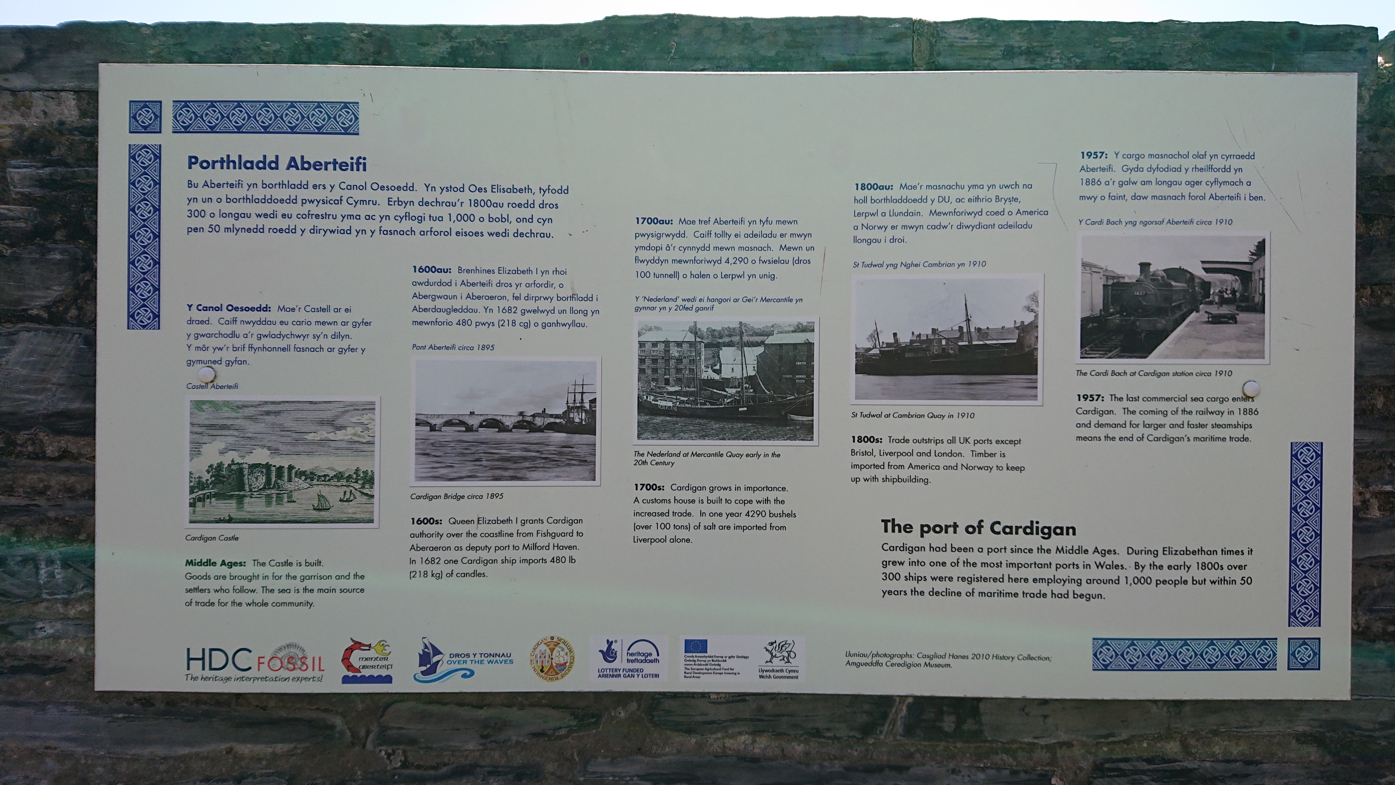
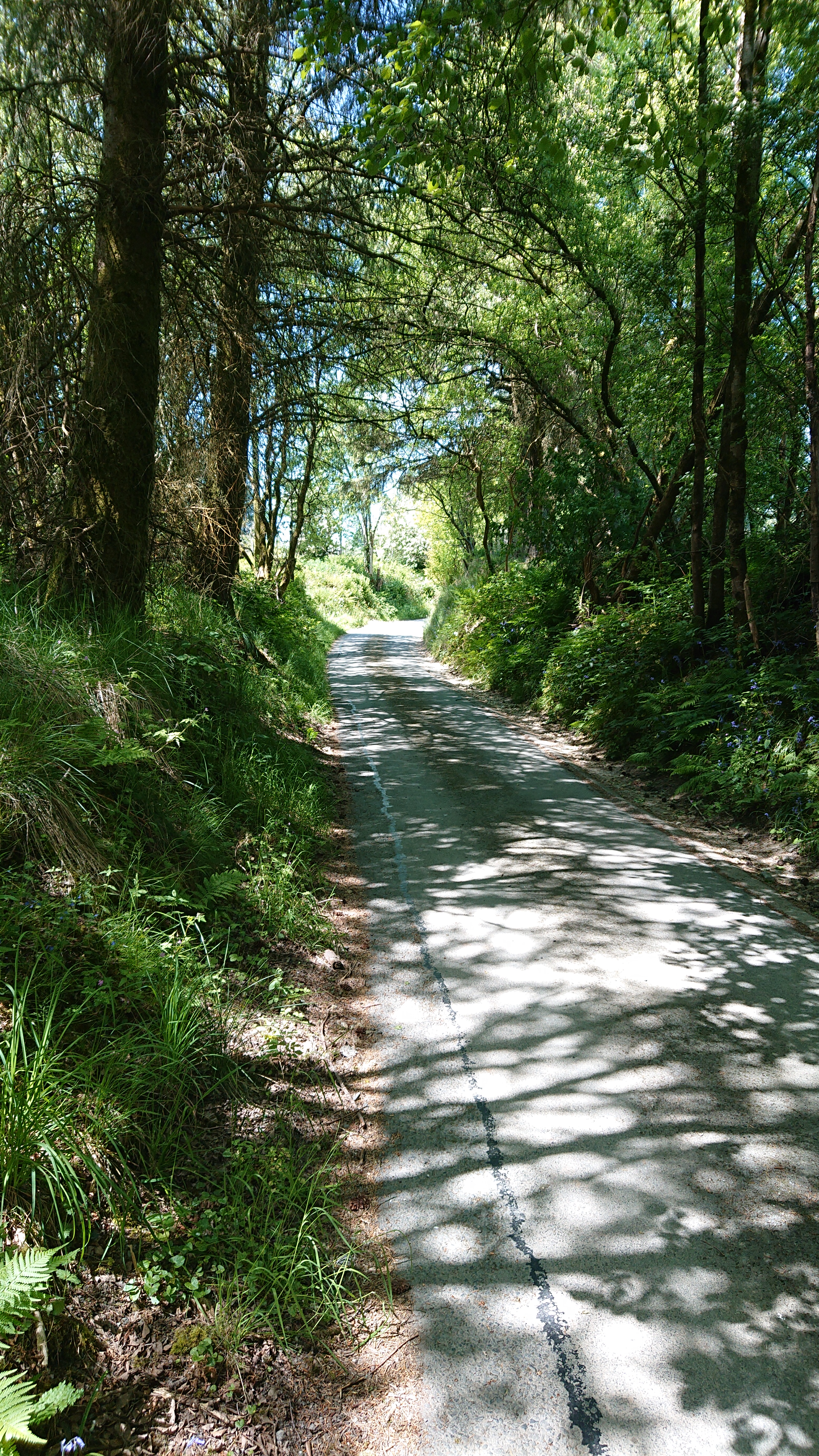
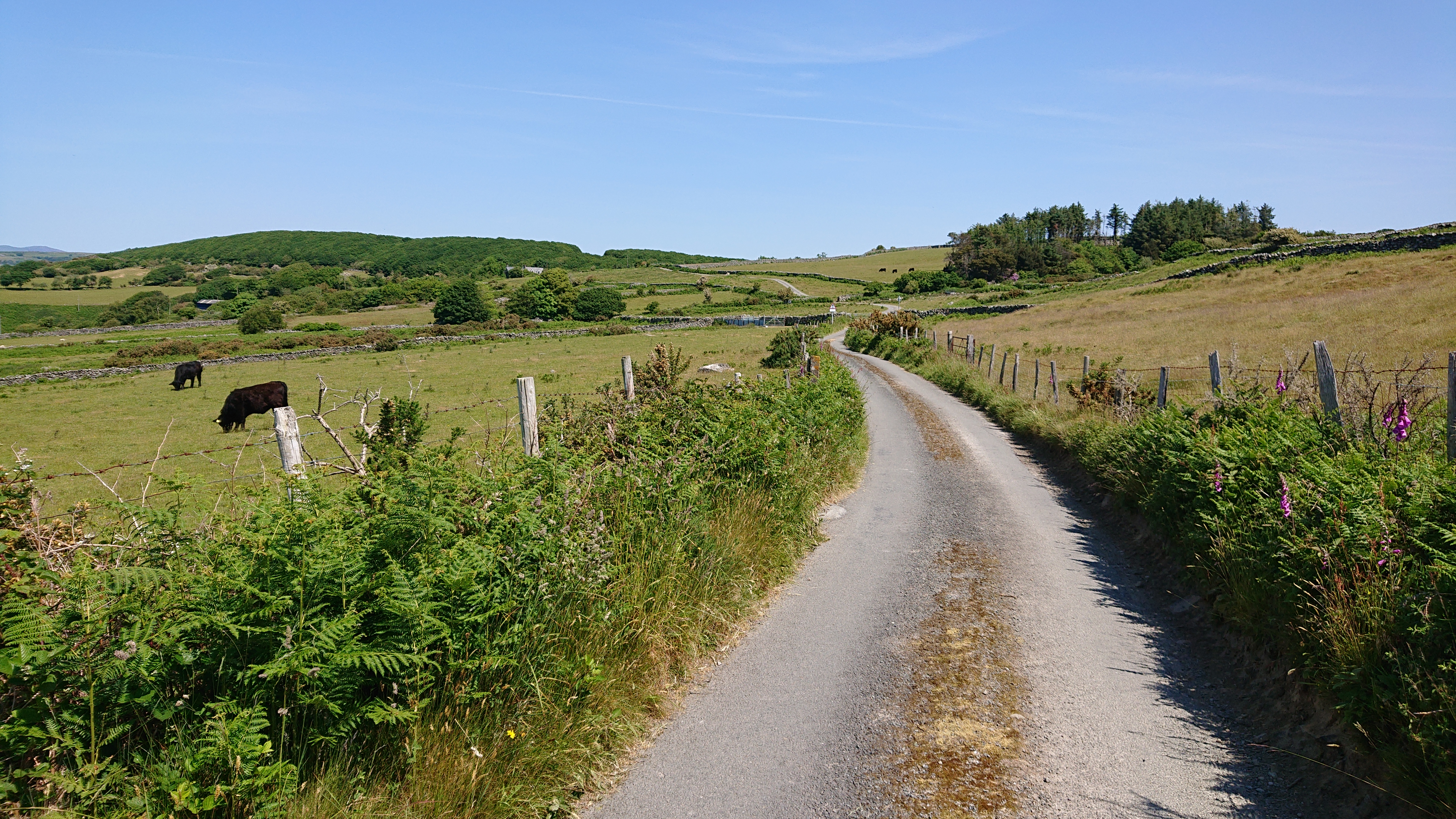
Cycling on a Sunny Welsh Country LaneThis first day of the cycle had countless very pretty country lanes. There were plenty of steep gradients up and down and the bends and foliage meant you couldn’t go quickly down hill, either. There were many direction changes, requiring that you stop, so it was hard to keep any momentum going. Progress was very slow.St Dogmaels!Cardigan was pretty as a picture. Prettier than mine, at least!Cardigan has had an interesting history.Poppit!The waymarked cycle route would take you to interesting places. This little interlude after Cardigan was through a nature reserve.Pretty, but I think this was near one of the low points of the day. The route took me in the opposite direction I needed to go in one little town, sent me up a severely steep little hill to see some lovely country lanes. After the climb, I descended and was plonked a few hundred metres beyond the town. It would have been much easier to get there on the main road!
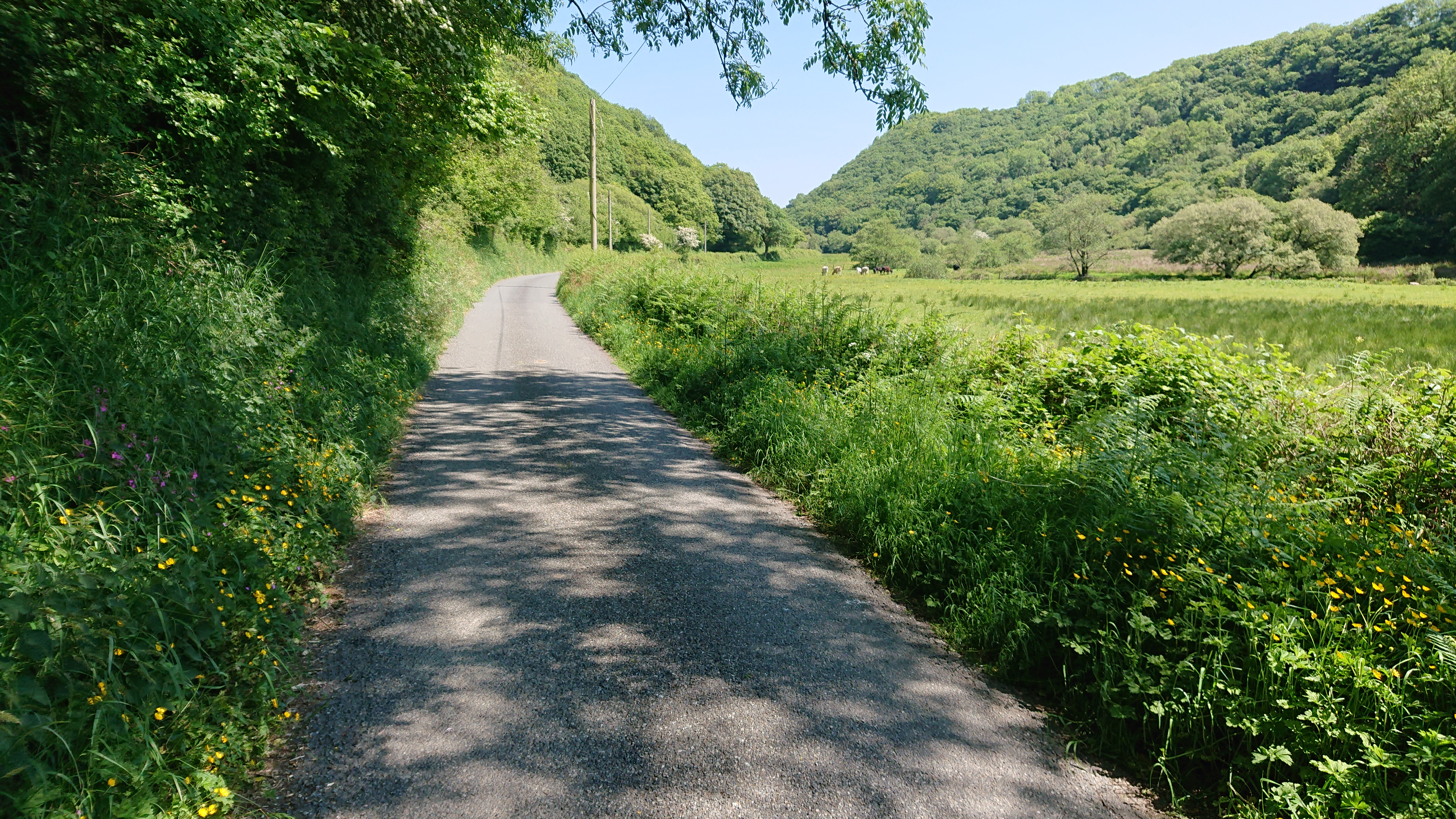
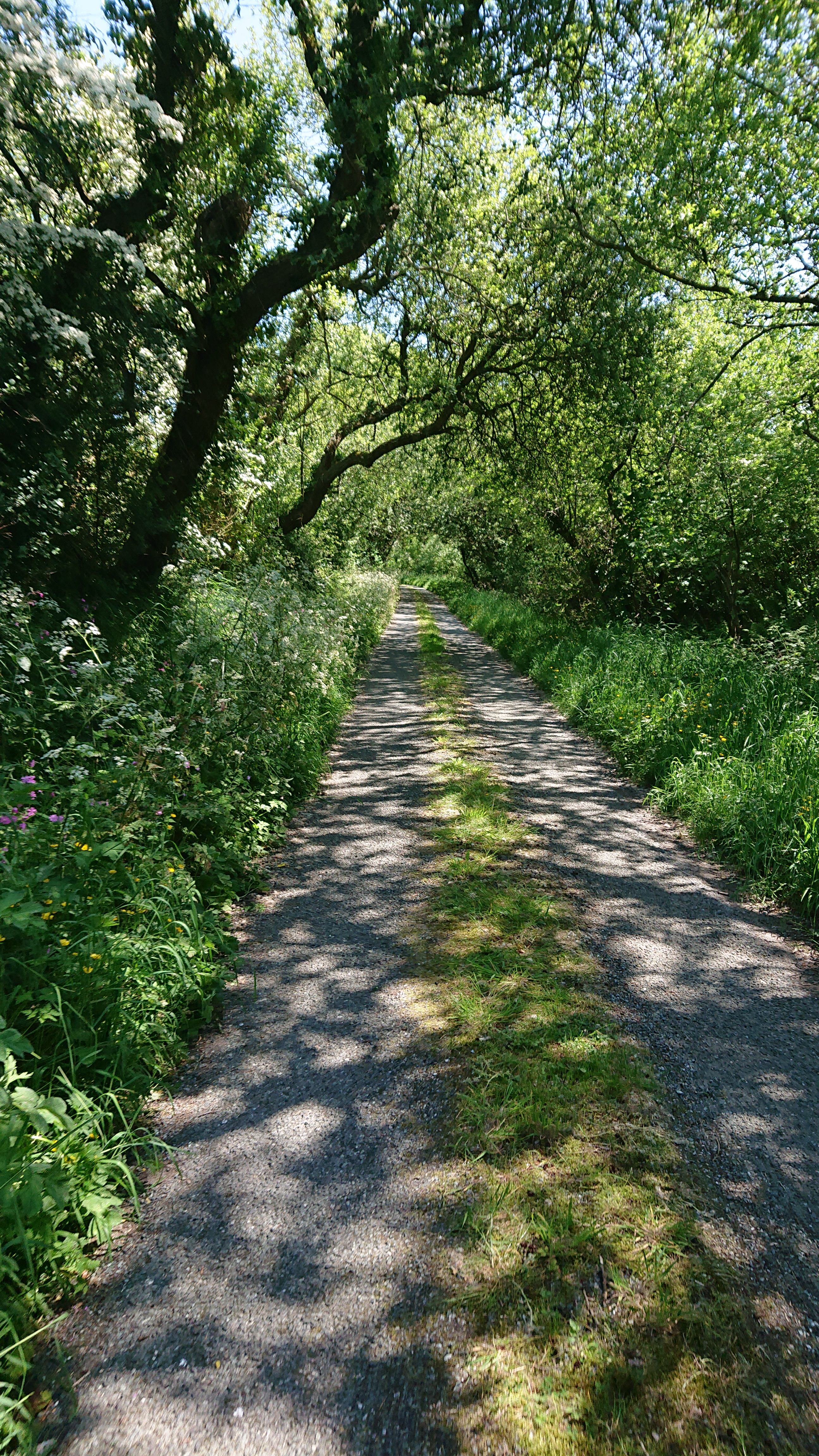
Tranquil Welsh LaneHow’s your Welsh?!?Stopped for some actual food here. Wasn’t going to finish this cycle on one bar of chocolate and a few sips of water, so I had a stale scone I’d meant to finish earlier. I had enough of these almost rock-like lumps to have one per day. A tradition was started at this very spot!Kayak run
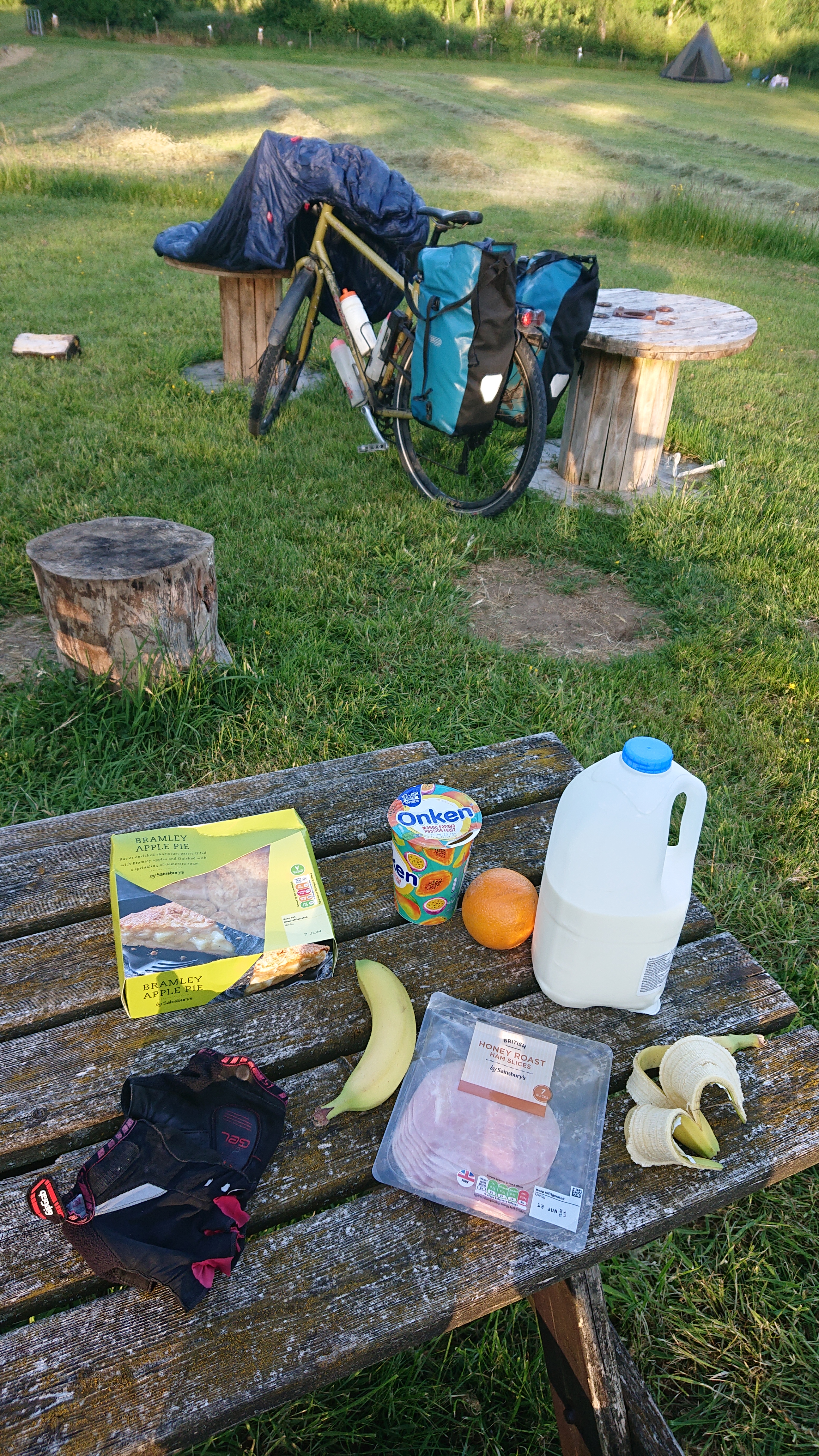
Kayak RunQuality outdoor gear!Was pretty bloody tired by the time I got to Lampter. Even though I had enough food for the trip I decided it needed some supplementing. That apple tart is the nicest I’ve ever had!This camp site was nice in ways, but there was no way to charge anything. It was suggested to me that I could pay for electric hook-up, but then I didn’t have whatever converter would be required in my bags. They had everything including the kitchen sink in them… but not that. There was electricity in at least one of the little shower cabins. The rubbish bins were also overflowing even though there was almost nobody here. It was also the most expensive of the three camp sites and (not their fault), the Lampeter countryside rang out with barking dogs all night.
Day 2: Lampeter to Dolgellau
118km, 2,078m of ascent
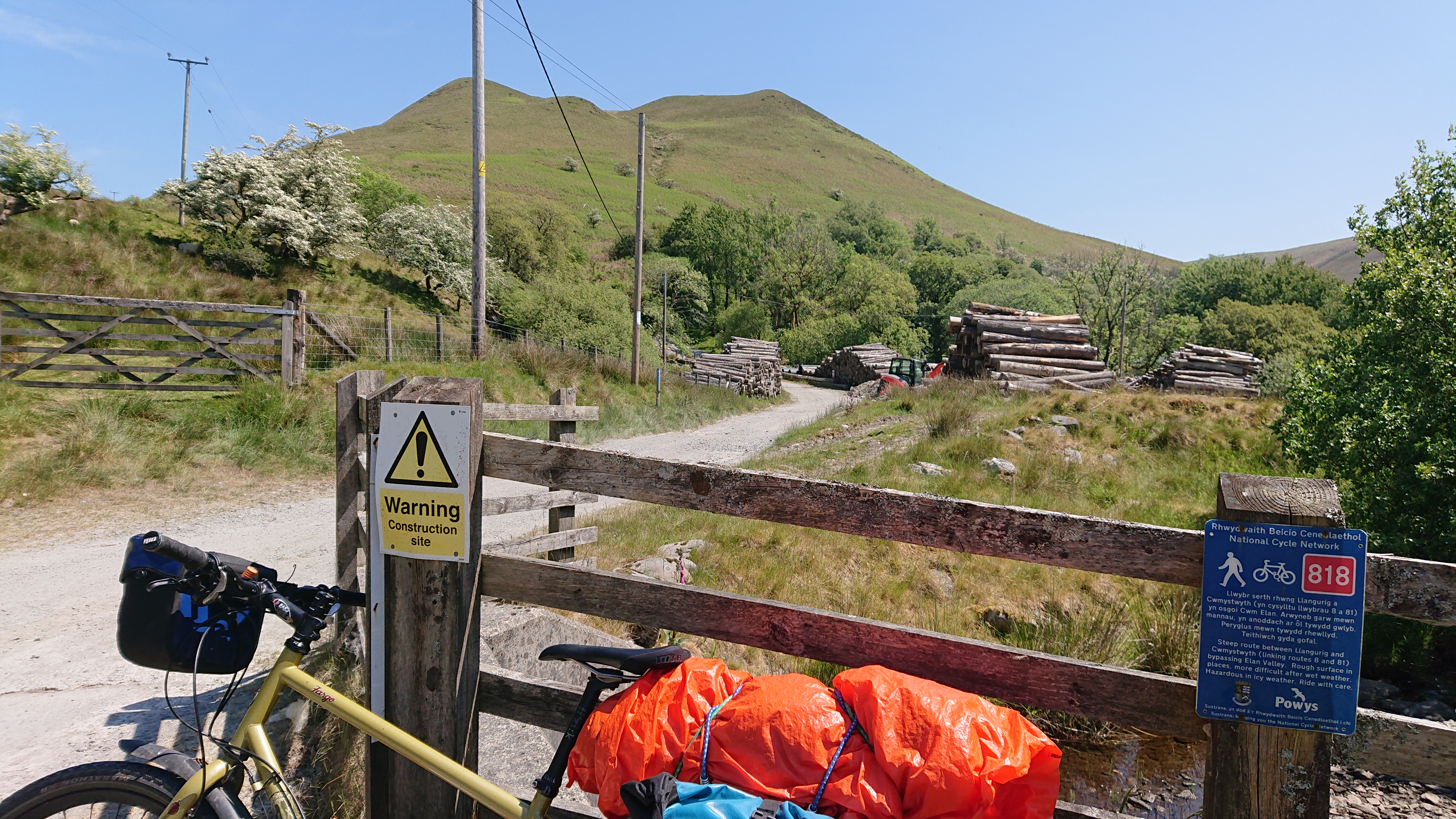
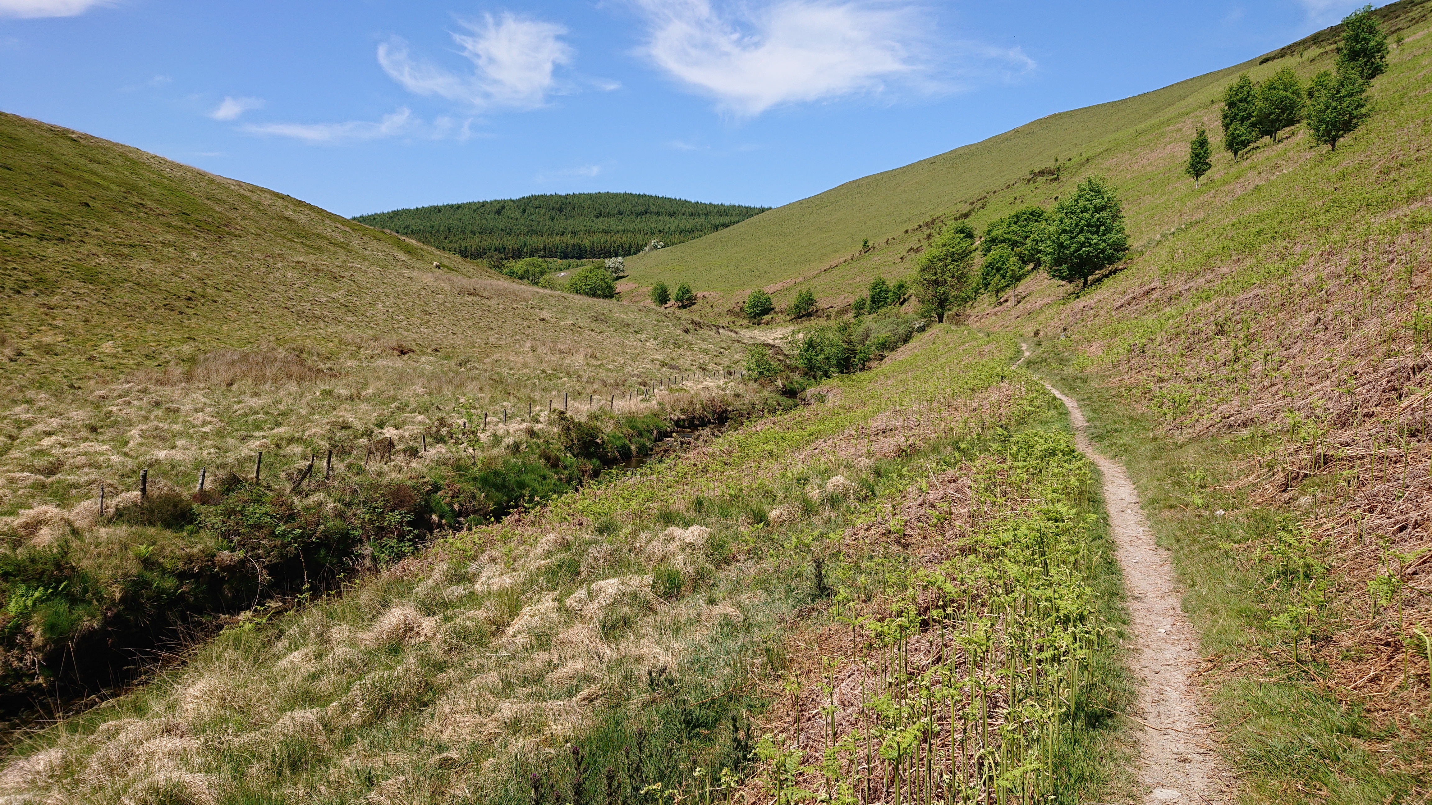
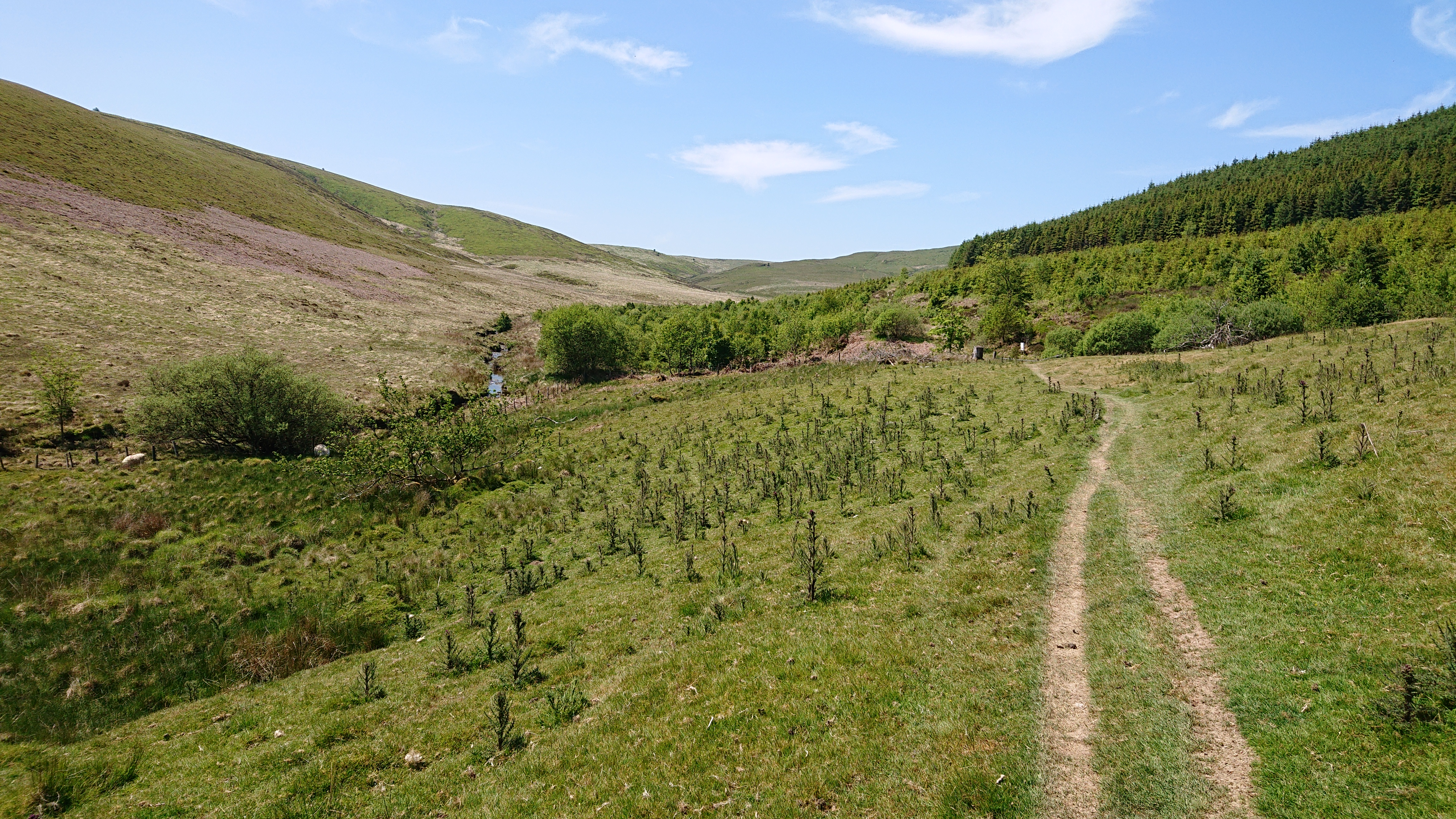
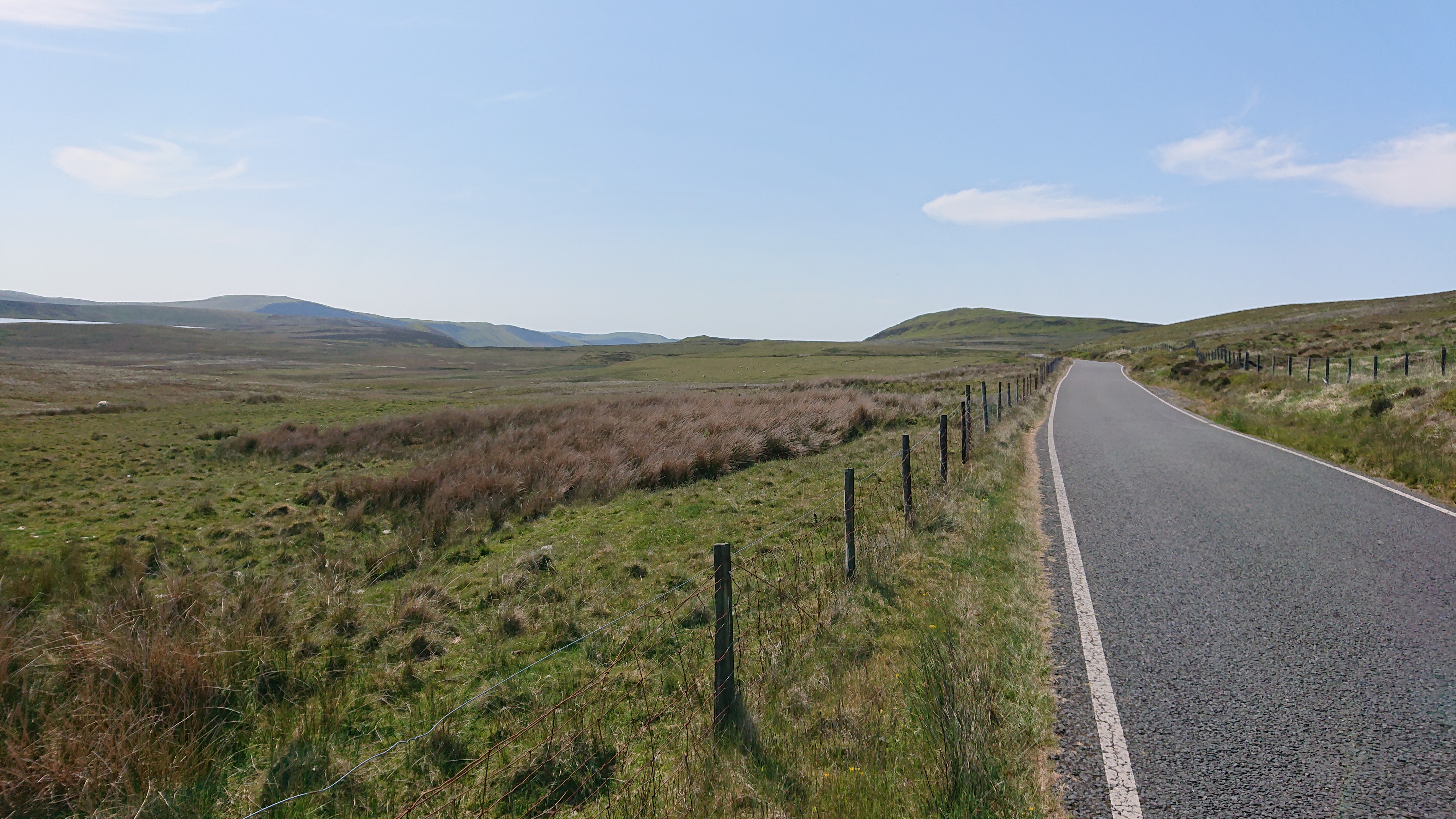
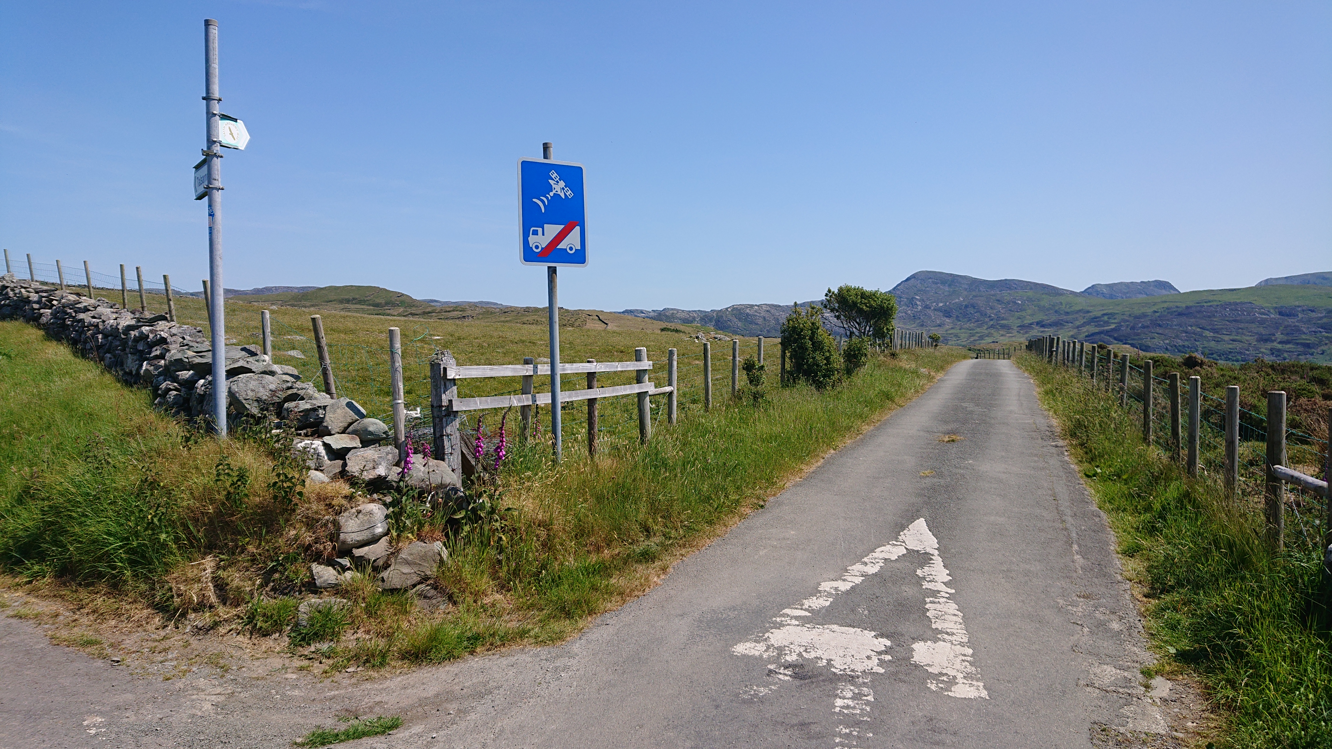
Overflowing bins. Birds had ripped up some of the bags and scattered rubbish about.Pont wan doesn’t seem to be just Welsh. A good sign – this was a lovely, quiet road and, unlike yesterday, it was a steady climb that went somewhere rather than oscillating up and down steeply all day!I turned off my nice road to go through another nature reserve. It was flat, but out of my way a little. Would have been better to stick to the road I was on. Still, I was on holidays!After the nature reserve, I had to cycle back in the right direction to meet the road I had been on from Tregaron and take the left for… Devil’s Bridge!After Pont-rhyd-y-groes was another off-road section. There was signage pointing to this, but it wasn’t exactly clear.I see why the route goes this way. Usually where it is slower, it’s showing you something you want to see!After the interlude through the forested estate came some wonderfully picturesque uplands.“Woe betide all ye who enter this place!”National cycle route 818 was about 2km off road and 4km of road. Taking it skipped about 30km of road. This had to be faster?
“Steep route between Llangurig and Cwmystwyth (linking routes 8 and 81) bypassing Elan Valley. Rough surface in places, more difficult after wet weather. Hazardous in icy weather. Ride with care.”Trepidation… it doesn’t look it, but it was bloody steep. I needed to keep the wheels on the sealed centre to have enough traction to keep climbing, otherwise I was walking!A couple of motorcyclists passed me. Didn’t see any other cyclists here. At this point I had only seen one road cyclist on the whole cycle and that was early the day before.Sealed road ahoy! Looks very steep, though!The climb ahead was steep and sustained, a real leg-burner. Thankfully, the wider road meant I could zig zag a bit. To save the hamstrings from seizing up!
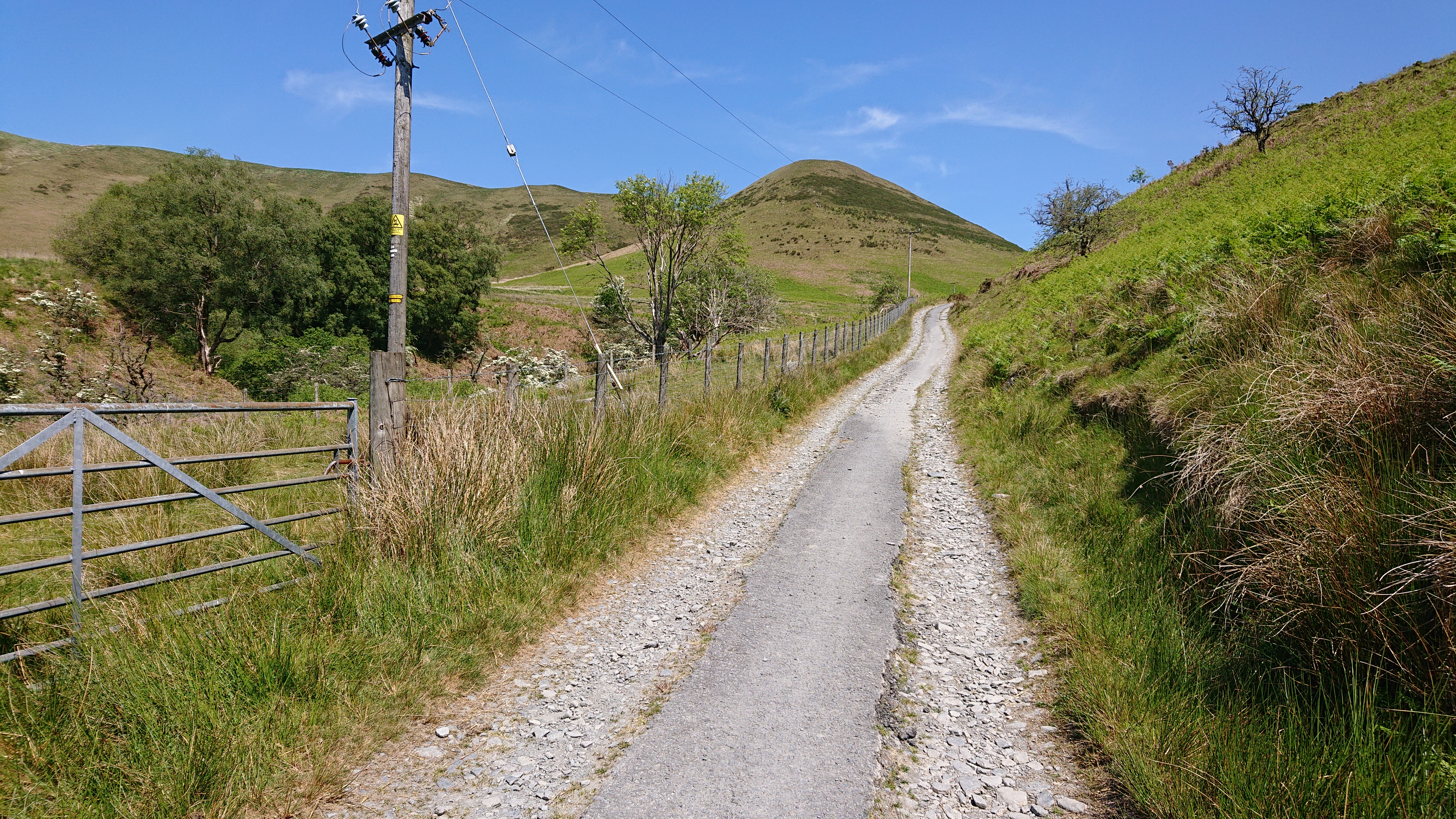
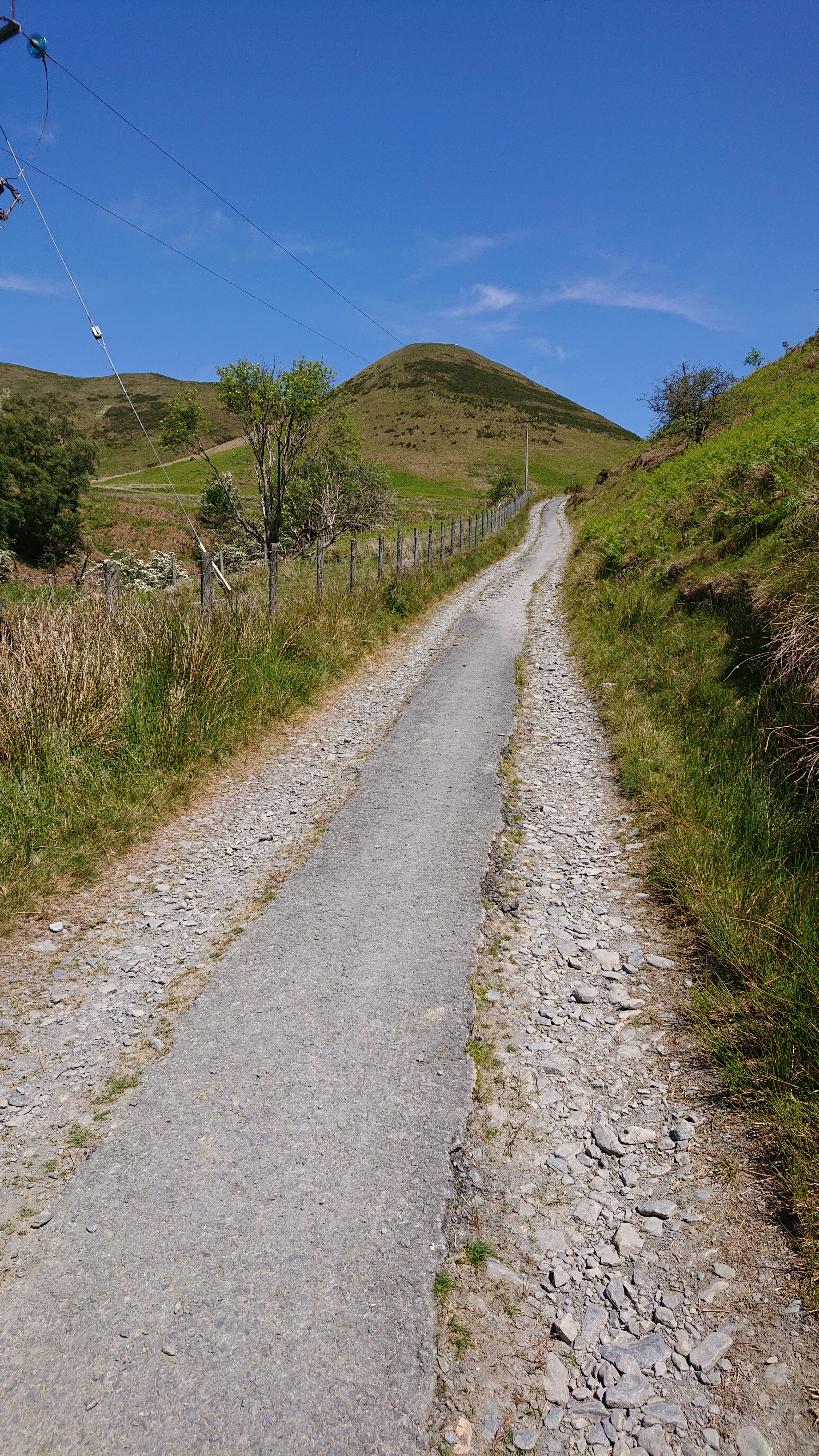
National Cycle Route 818It was mostly down hill from here. A fast descent to where the main road would not have taken me for a fair while longer!
Descending Into the Wye ValleyOn the other side, I was taking a bit of a risk by going off road on a route that wasn’t a national cycle route, but some connecting local trails. This climb was taking me up to these unknowns!
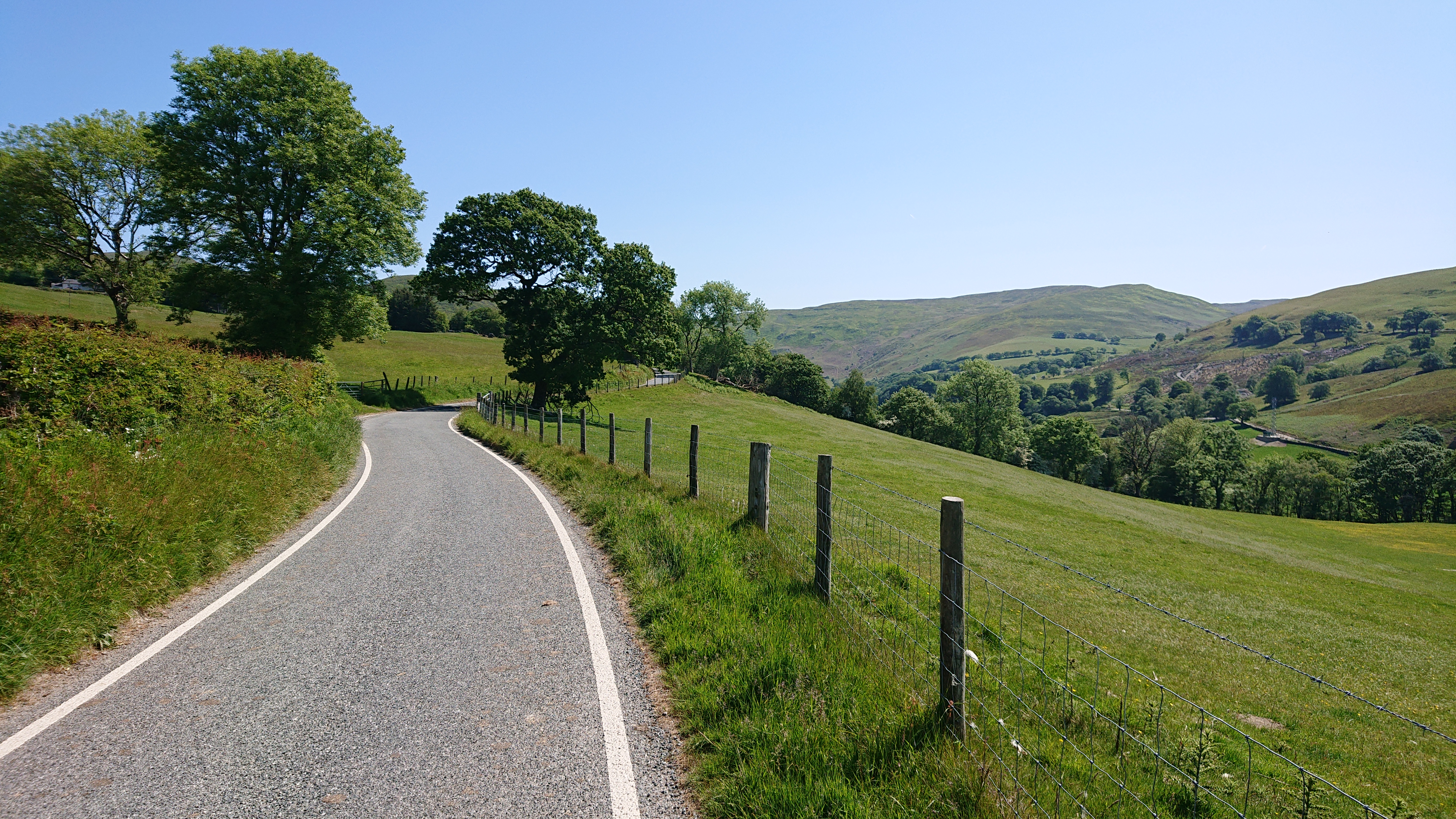
Bidno LaneGood news: the first of the routes was a bridle trail and not a locked gate or unrideable track that necessitated bike carrying!The route through the farm was actually easy and very pleasant!
Glanbidno IsafEasy-peasy!The bike logo on that post said something about getting lost. Would this next section be more adventurous?The track became a little rutted…That’s better!Oh!It was mostly pretty rideable, even on my heavy touring bike.
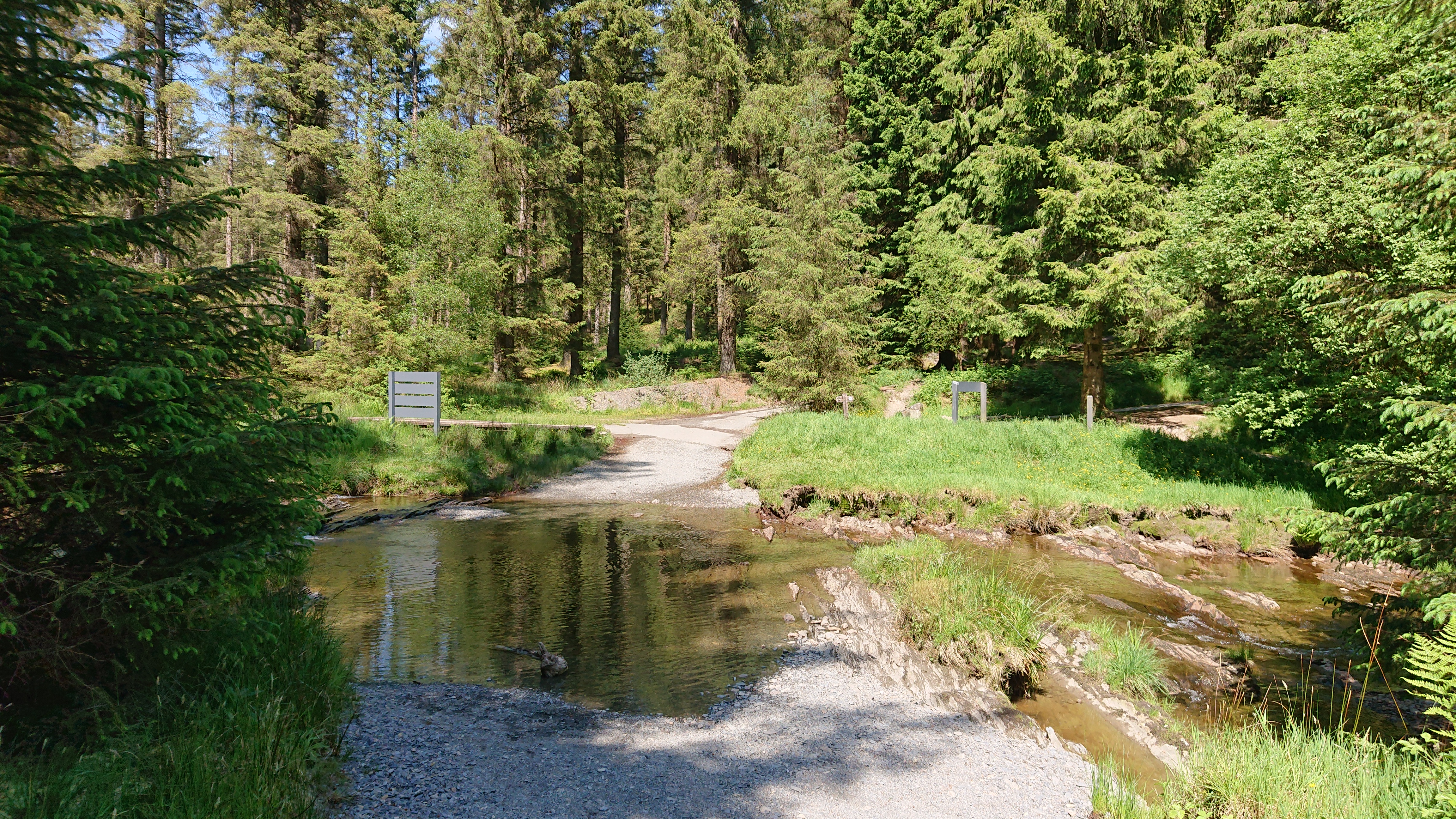
Afon BidnoThat’s the forest (and surely a broad forest track?) ahead!Yup!It had a solid and fast surface.Bit of a tricky climb…Ford! This one looked a little slimy on the bottom, and it was. Was perhaps a little lucky not to have to put (at least!) a foot in! There’s a foot bridge for the less foolhardy.
Afon HoreSuccessful off-road super shortcut number two taken, I was back on a road, and national cycle route. It was a good feeling to know that for the rest of the day I definitely would not end up on some dodgy remote track!
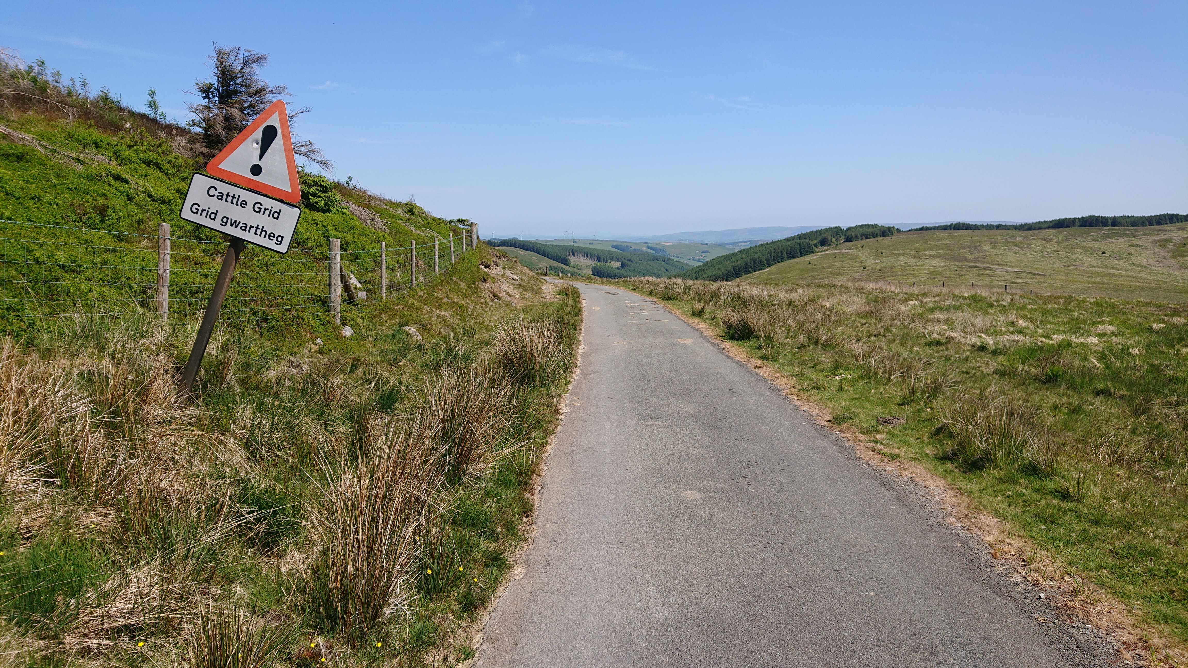
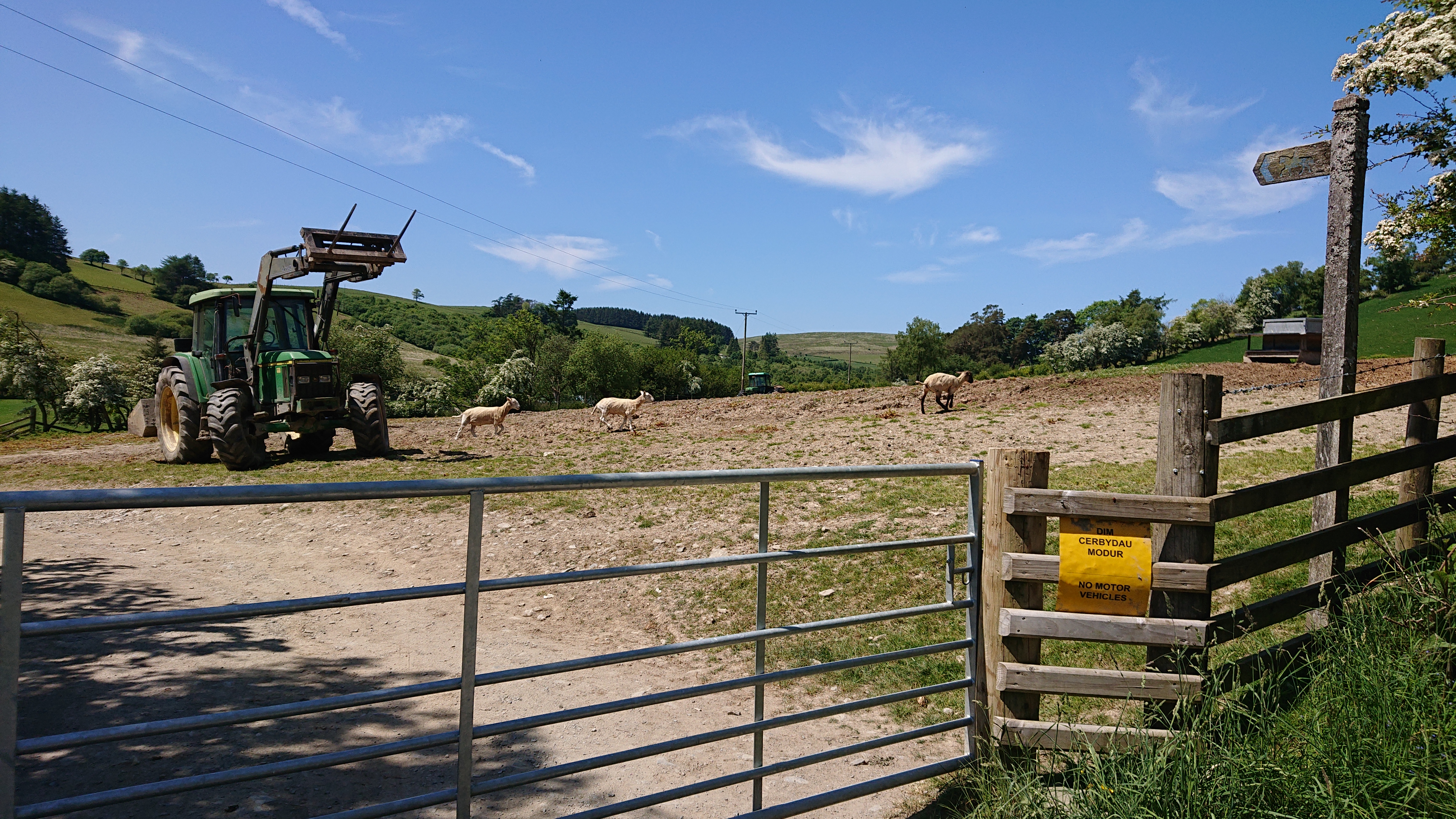
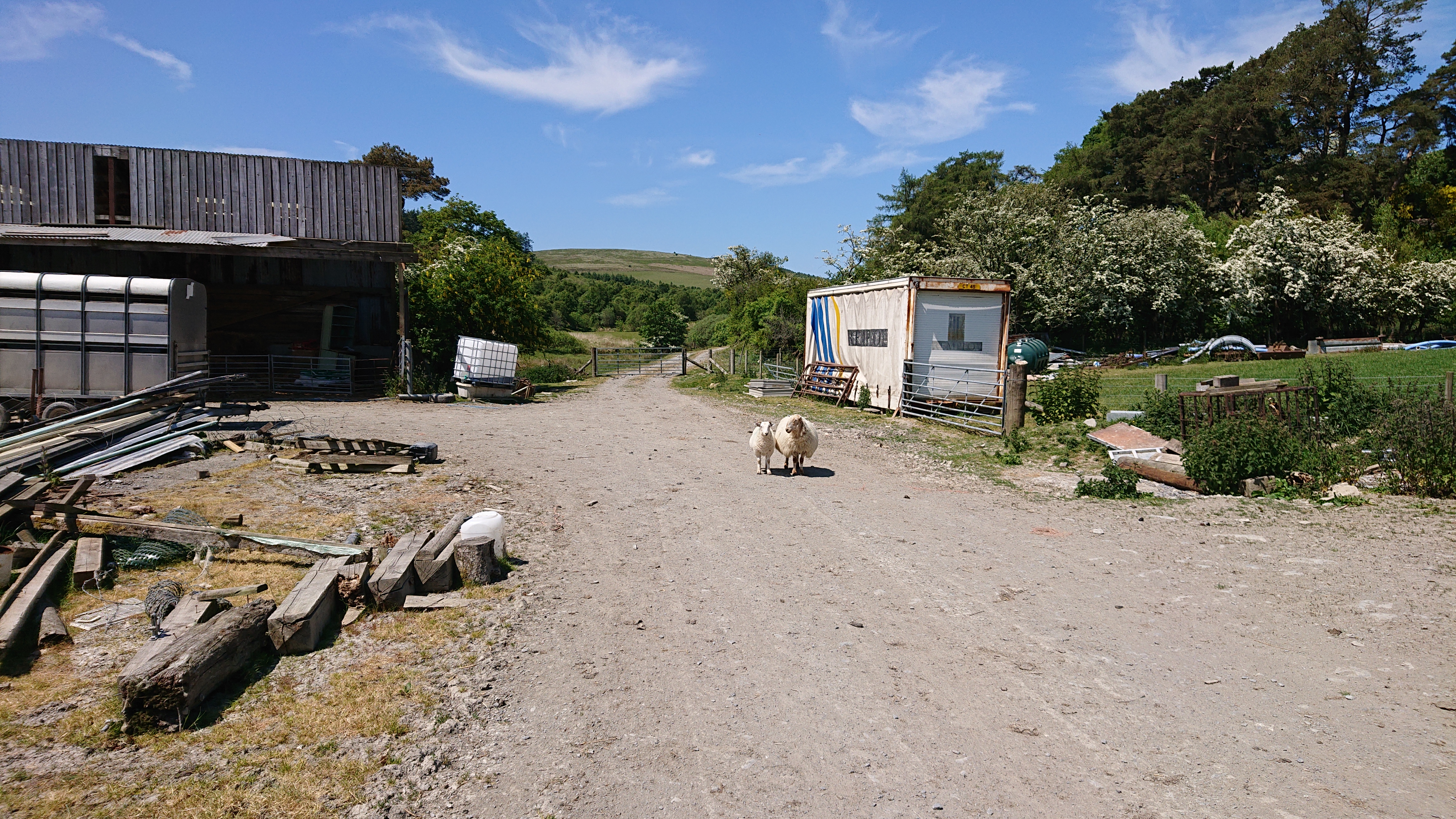
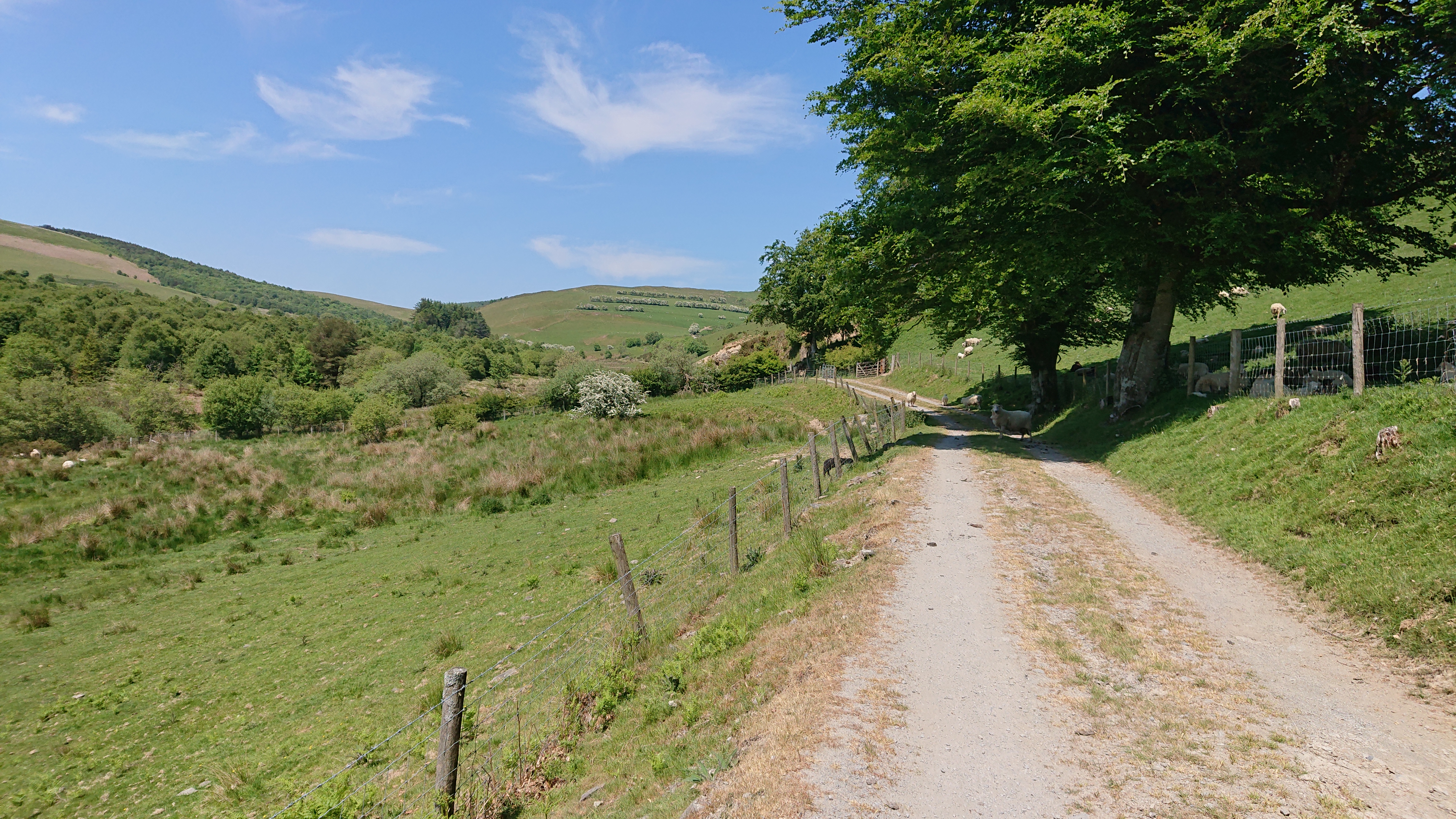
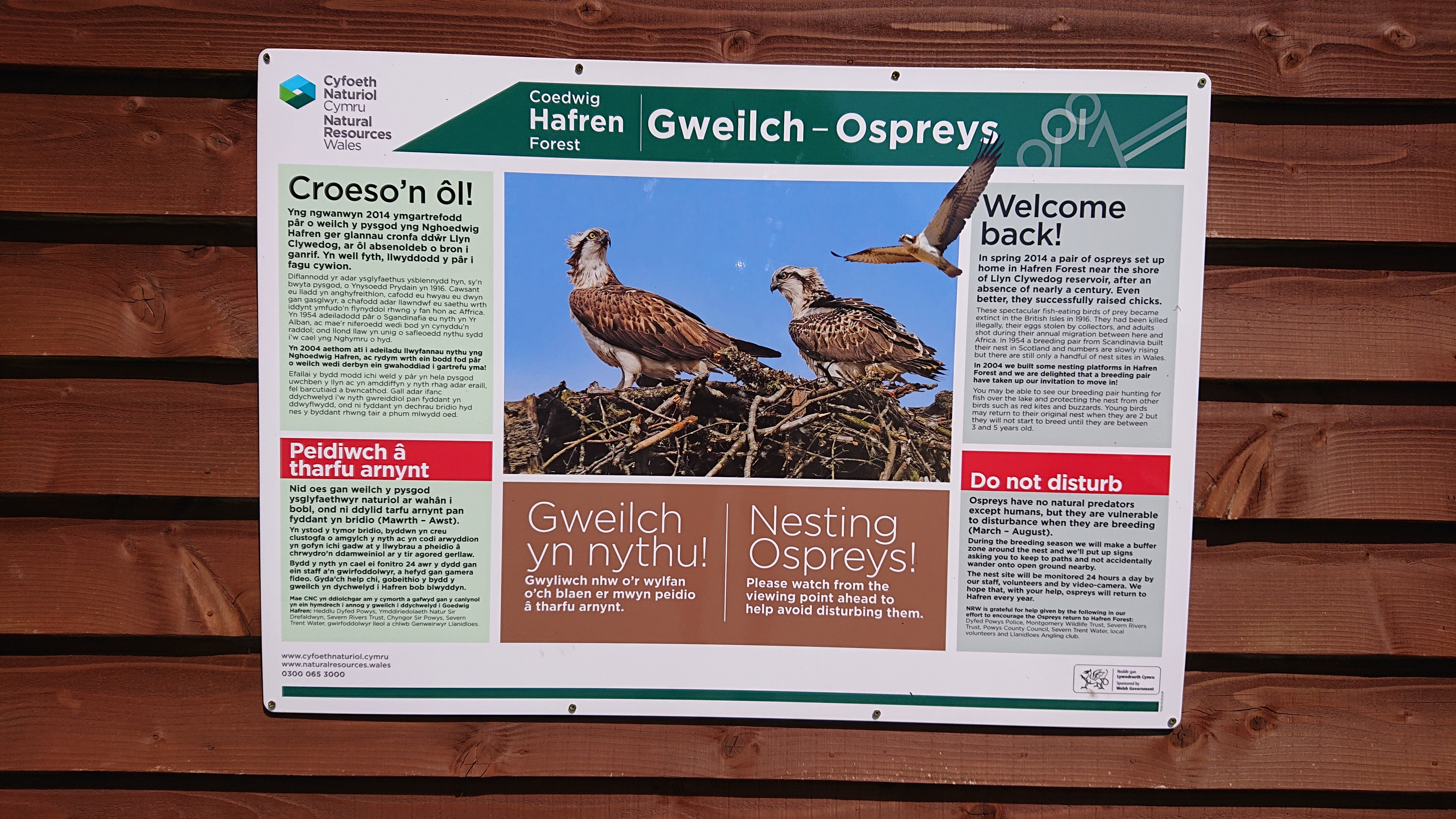
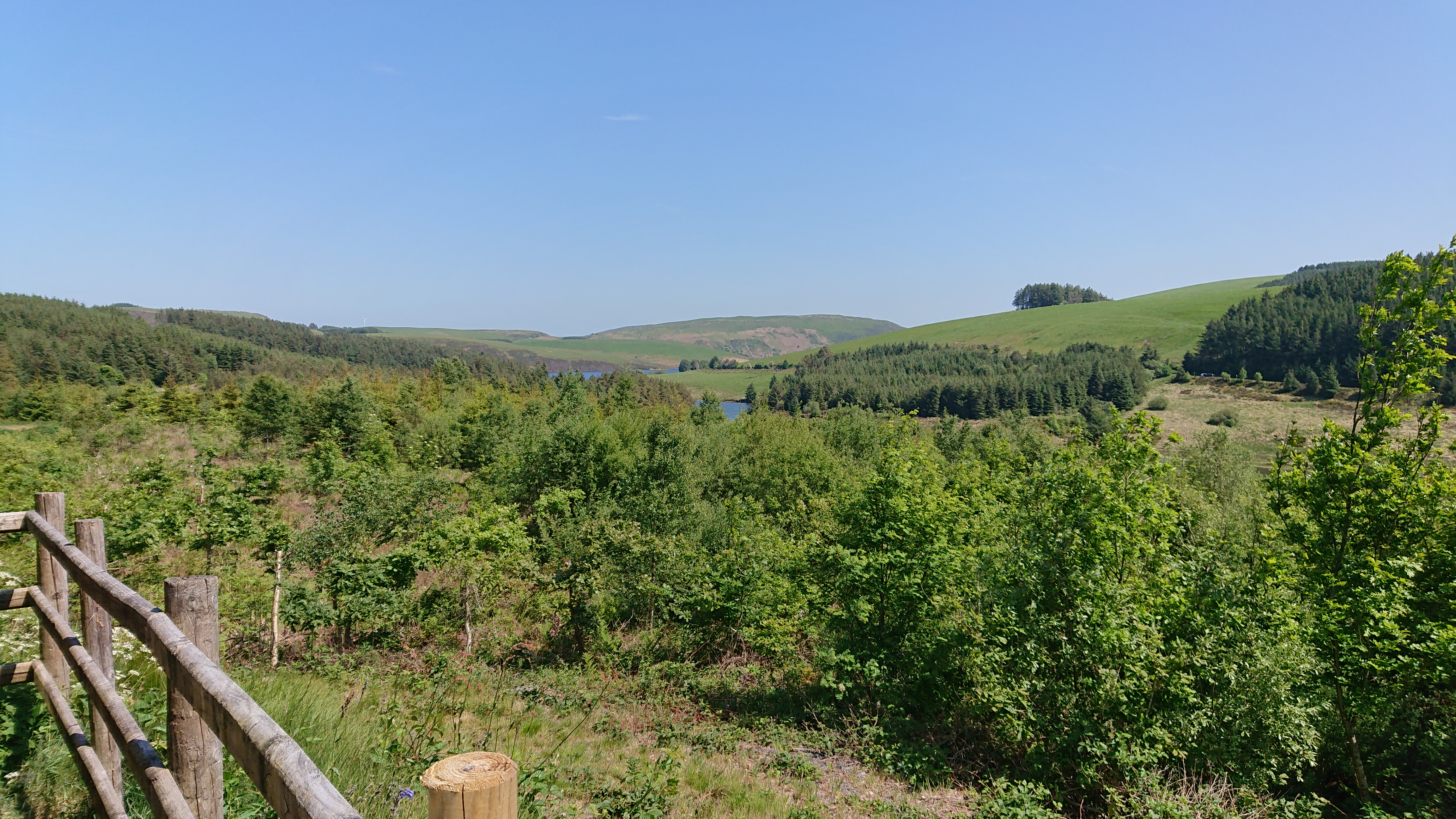
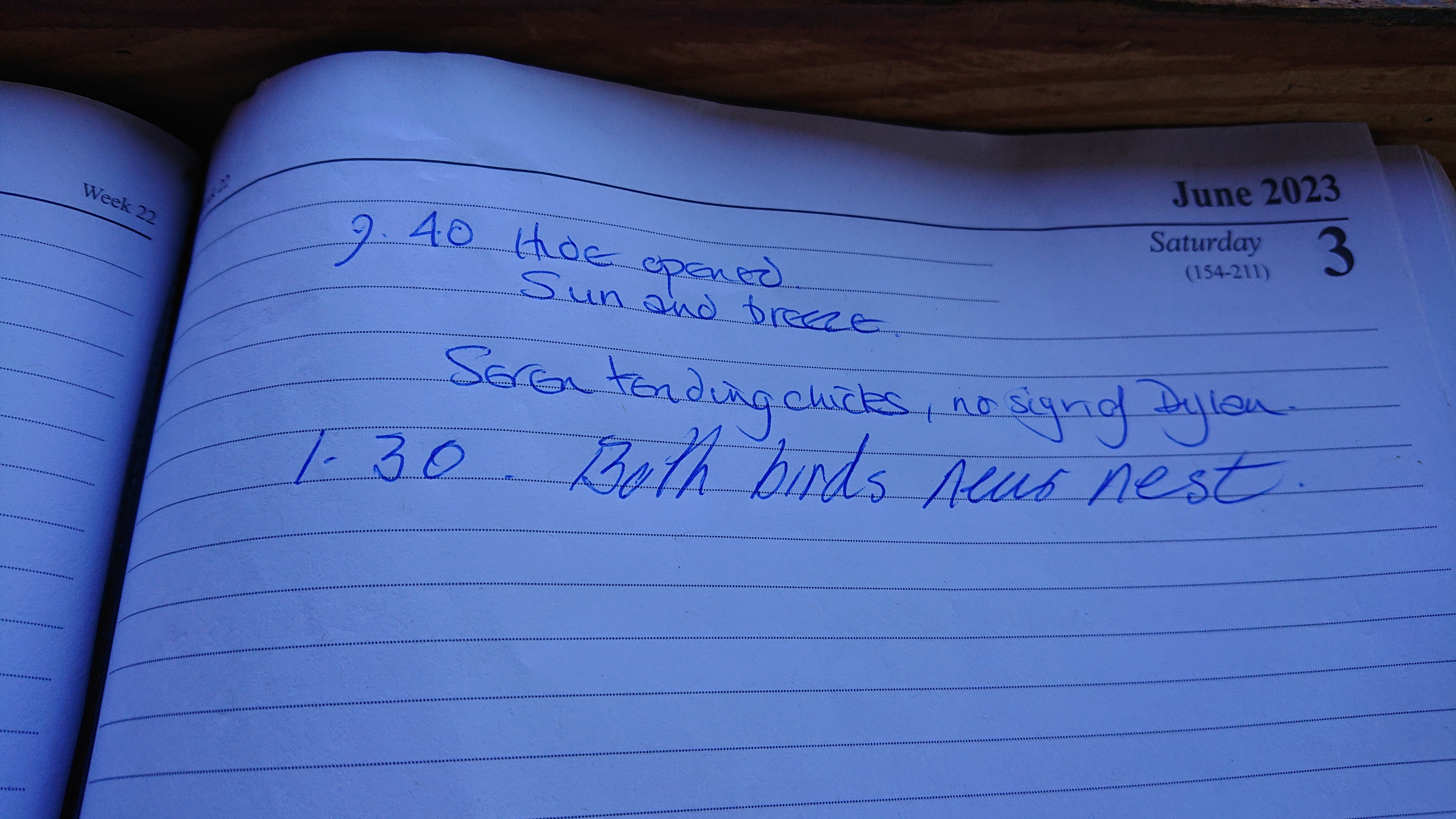
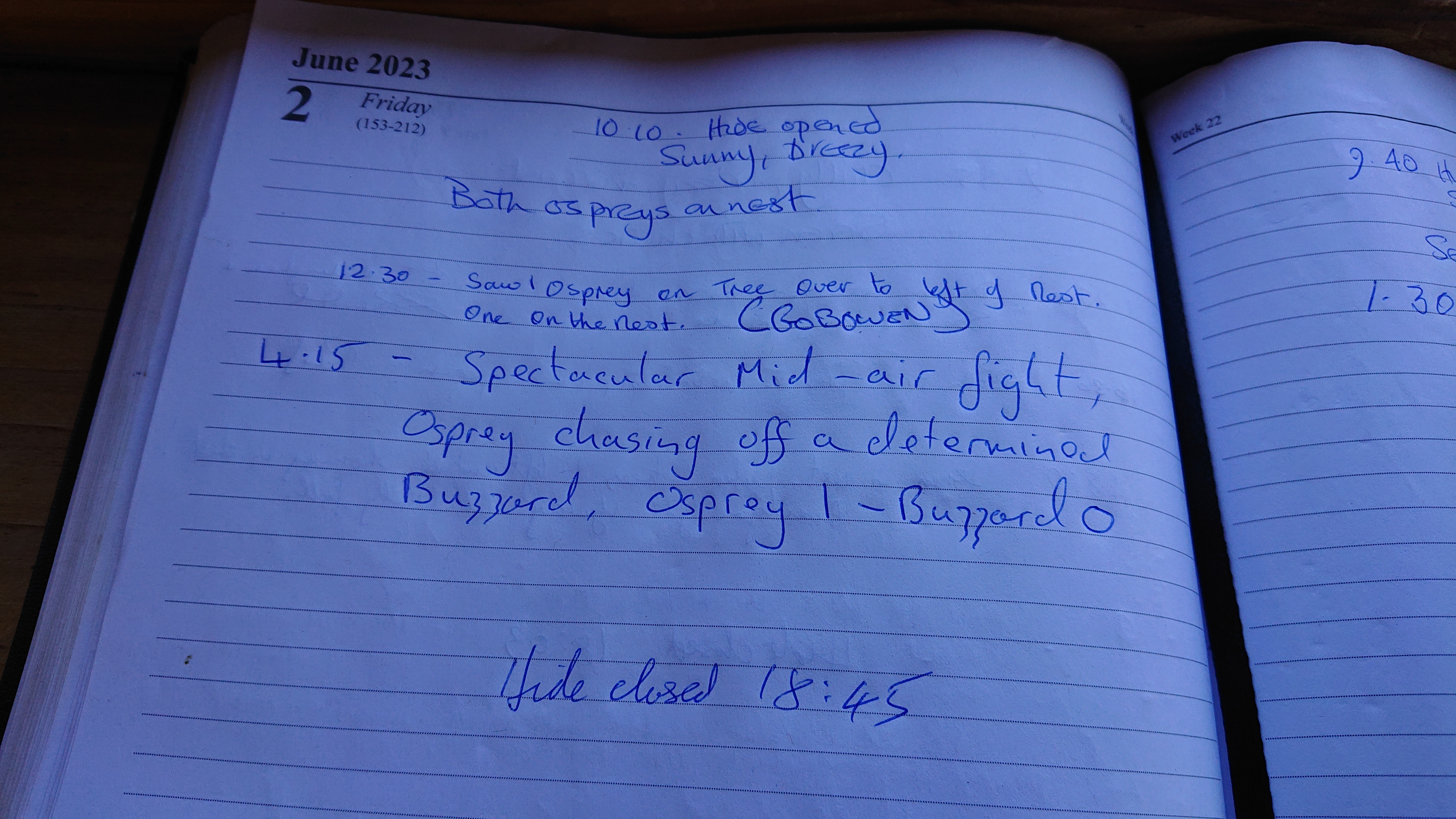
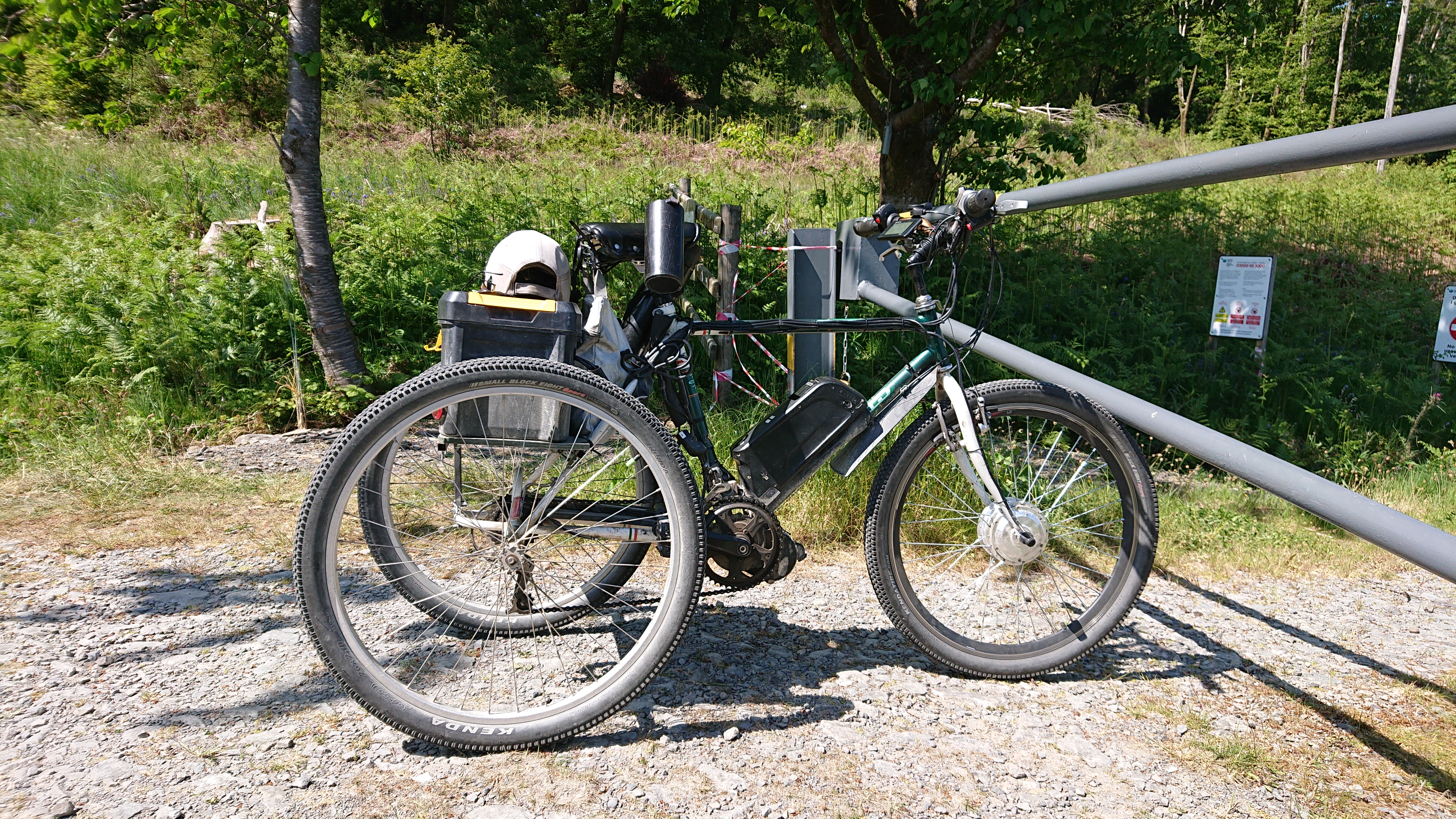
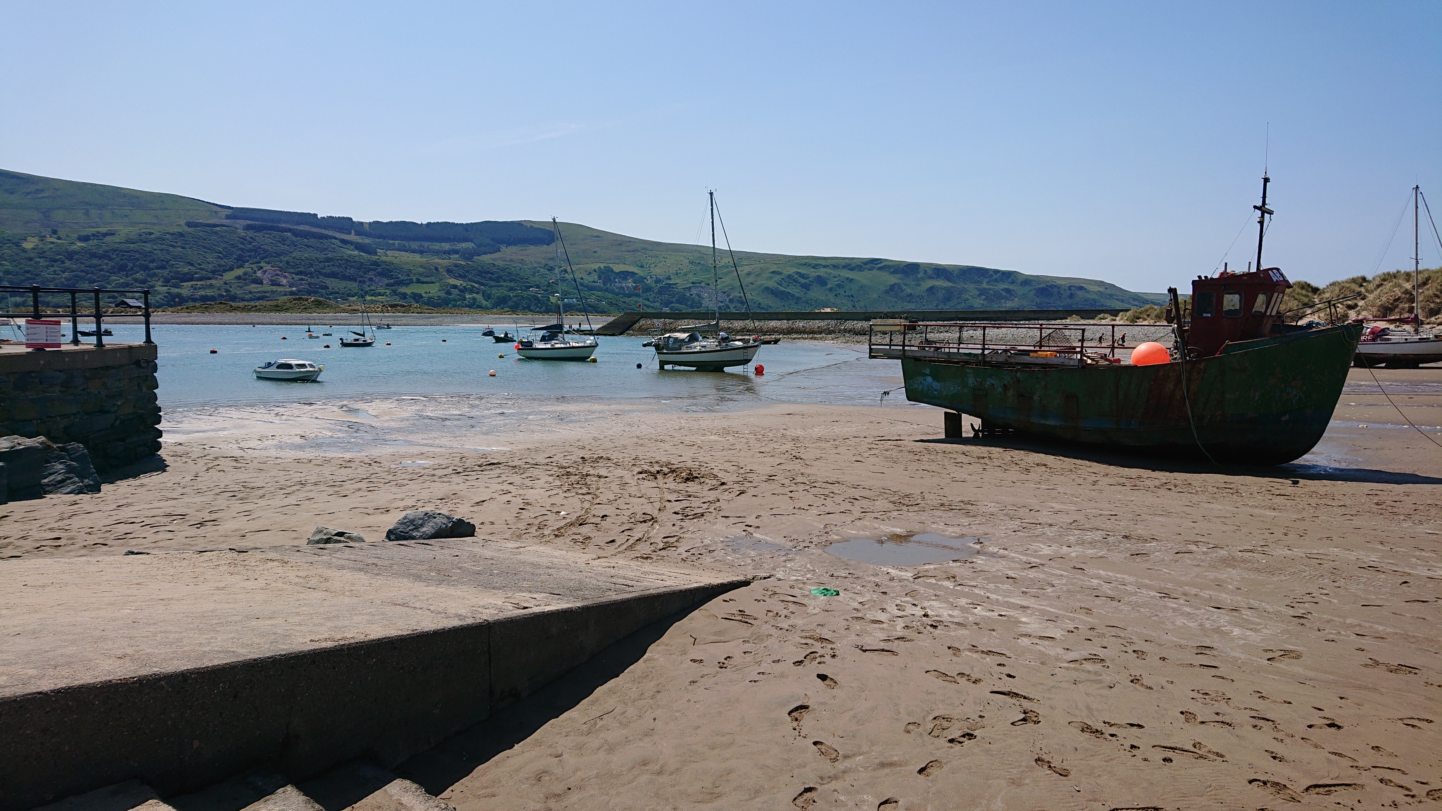
The Clywedog Reservoir is surely the Reservoir Dog?!?Had lunch at a bird hide. I had 3/4 of that apple tart from yesterday left. Half of it was my lunch.The two ospreys there were had the same names as my niece and nephew!Had a long chat with the owner of this contraption. He got it so that he could continue to cycle the mid Wales hill trails now that his own mileage has caught up with him. He told me some interesting tales, including how Dylan, the male osprey, had killed the previous male, who had been a more attentive father than him.Next on the agenda was a steady climb up and over to Machynlleth. The gradient here was very tolerable!Some flat uplands were the reward before the other one……the super descent! It went on for quite a while and it was so open that you could welcome all speed with confidence. Very different from the previous day!Some guy there was a poster about that I didn’t read…Didn’t get any fis & chips……but I got this!Seemed to be a bit of a gimmick, but it was in the right place. Needed some cool, creamy, delicious proteinarific milk after all that cycling on a hot day. This is where I met another cycle tourist, the wonderful Tam, most recently of Bristol. Unfortunately, I didn’t check the text message she sent me before we parted ways and wasn’t to find out later that it did not come with her number, but from InfoSMS. It seems I’m not the only person who’s had this issue when contacted by some UK phone numbers. Garg!Nom! Since it was a novelty of just the flavour I savour, I had a milk shake and milk. The milk didn’t taste like the standard stuff. I wouldn’t say it was nicer. Different, and also nice! Not for every day, but nice when on holiday, thirsty and in need of protein!The cows of Machynlleth exercising their right to free association!I’d read that the back road from Machynlleth to Dolgellau was tough. Here we go!This bit was fun, but I really wanted to keep going up until I got to the top!Don’t slate Wales. It’s got more than enough of the stuff!
Road Near Foel CrochanThe steep road on the left isn’t that visible in this photo. The steepest climb has been kept for last. Considering how steep it was, it went on for long enough to burn your legs and keep them warm for a little while longer than could be considered friendly!Yessssss! Time to go down! The sheep wandering across this narrow road seemed to take exception to speeding, Or going slowly. Perhaps all road users, even the overly conscientious, annoyed them to the tune of wanting them sprawled all over the road!
Top of Pass Between Machynlleth and DolgellauThere was a bit more climbing, but it was on a pleasant link route between the bottom of the descent at an A road and Dolgellau. Not far now!The start of the high-speed descent into Dolgellau. It’s great to have hydraulic disc brakes on a heavily-loaded touring bike!
Lane to DolgellauThe cheap and great camp site in Dolgellau. Fortunately it’s a short walk into town. I realised I had a puncture when I was going to cycle to the supermarket before it closed. I think I pinched the tube when inflating it with the track pump. I repaired the puncture afterwards, which seems comical now that I’m not doing it. There were some midges about to make it a less pleasant task!
Day 3: Dolgellau to Caernarfon
86km, 941m of ascent
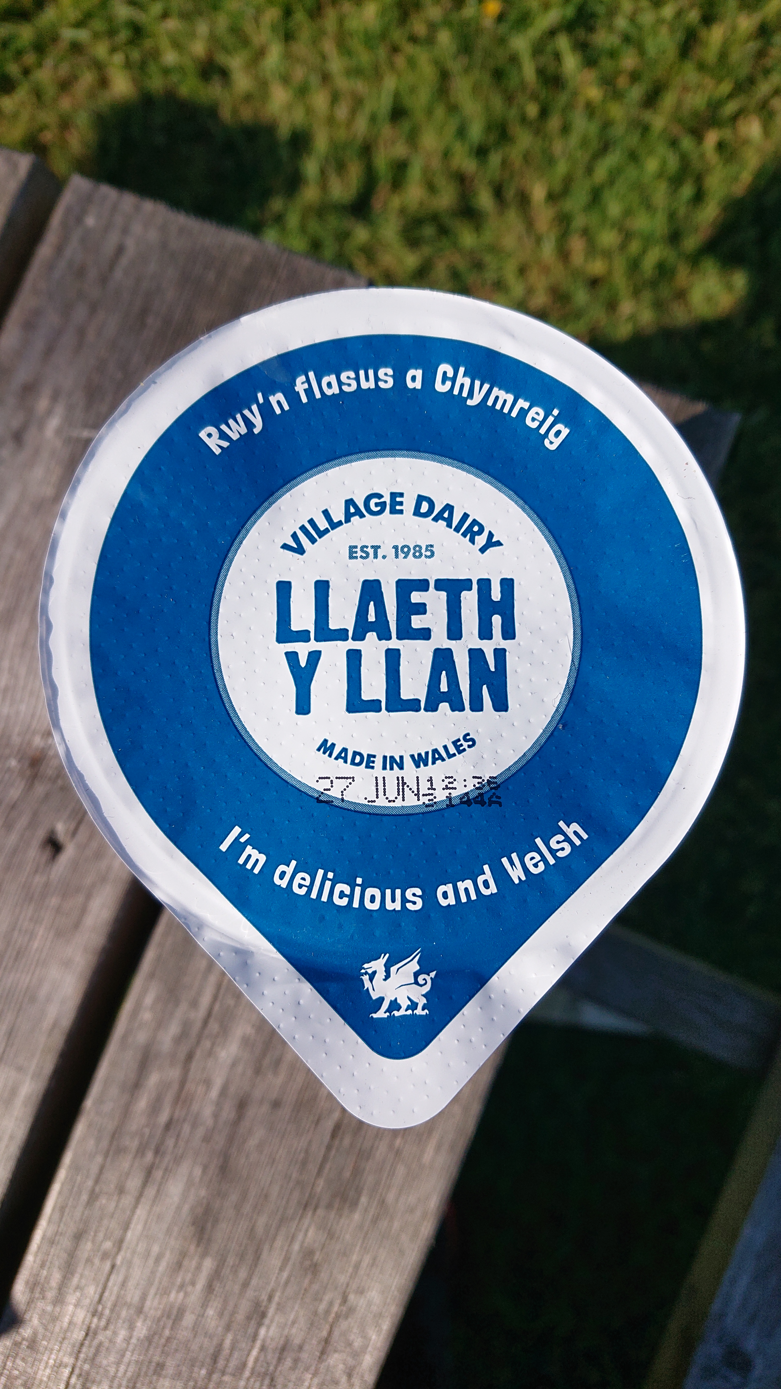
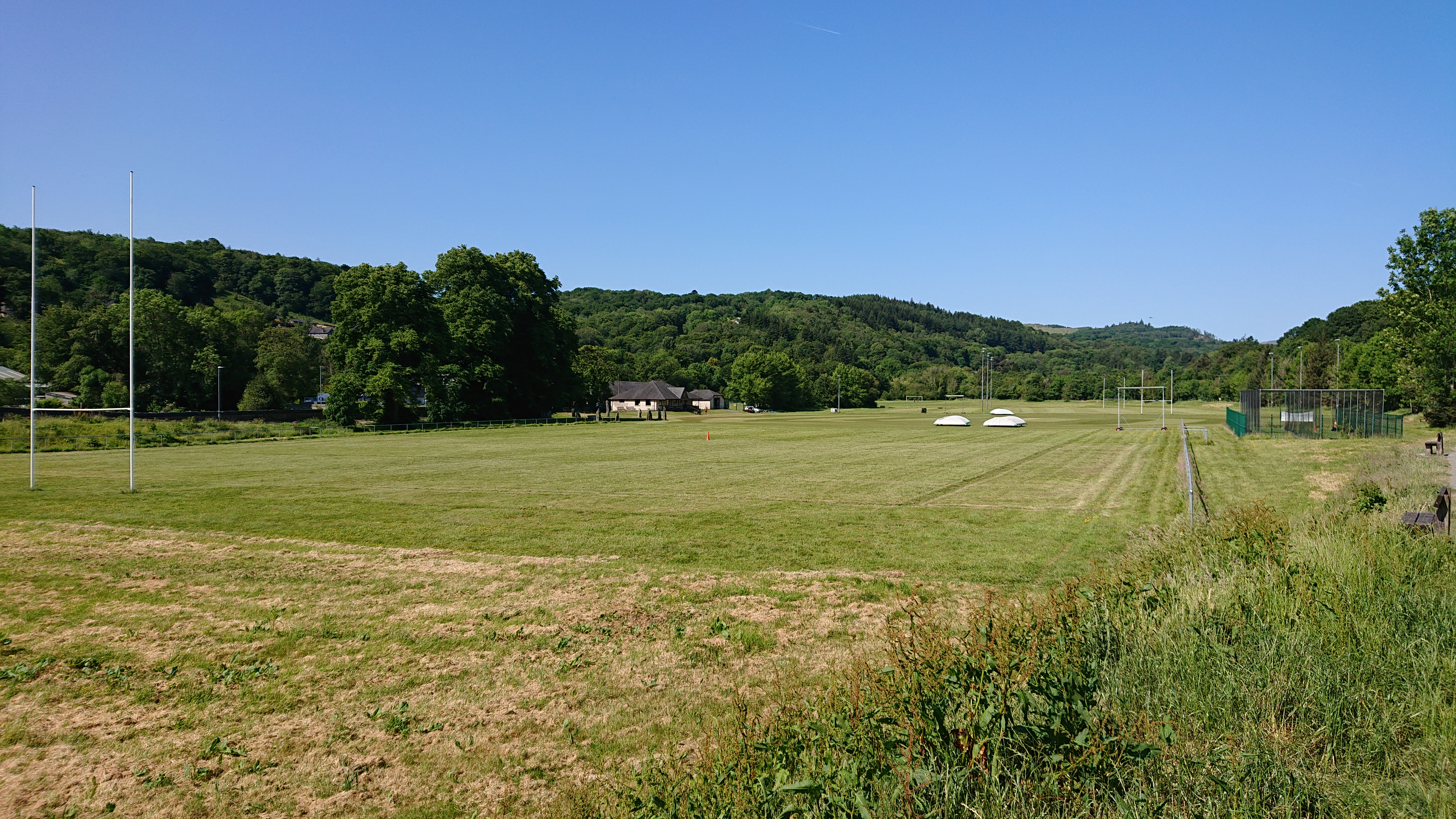
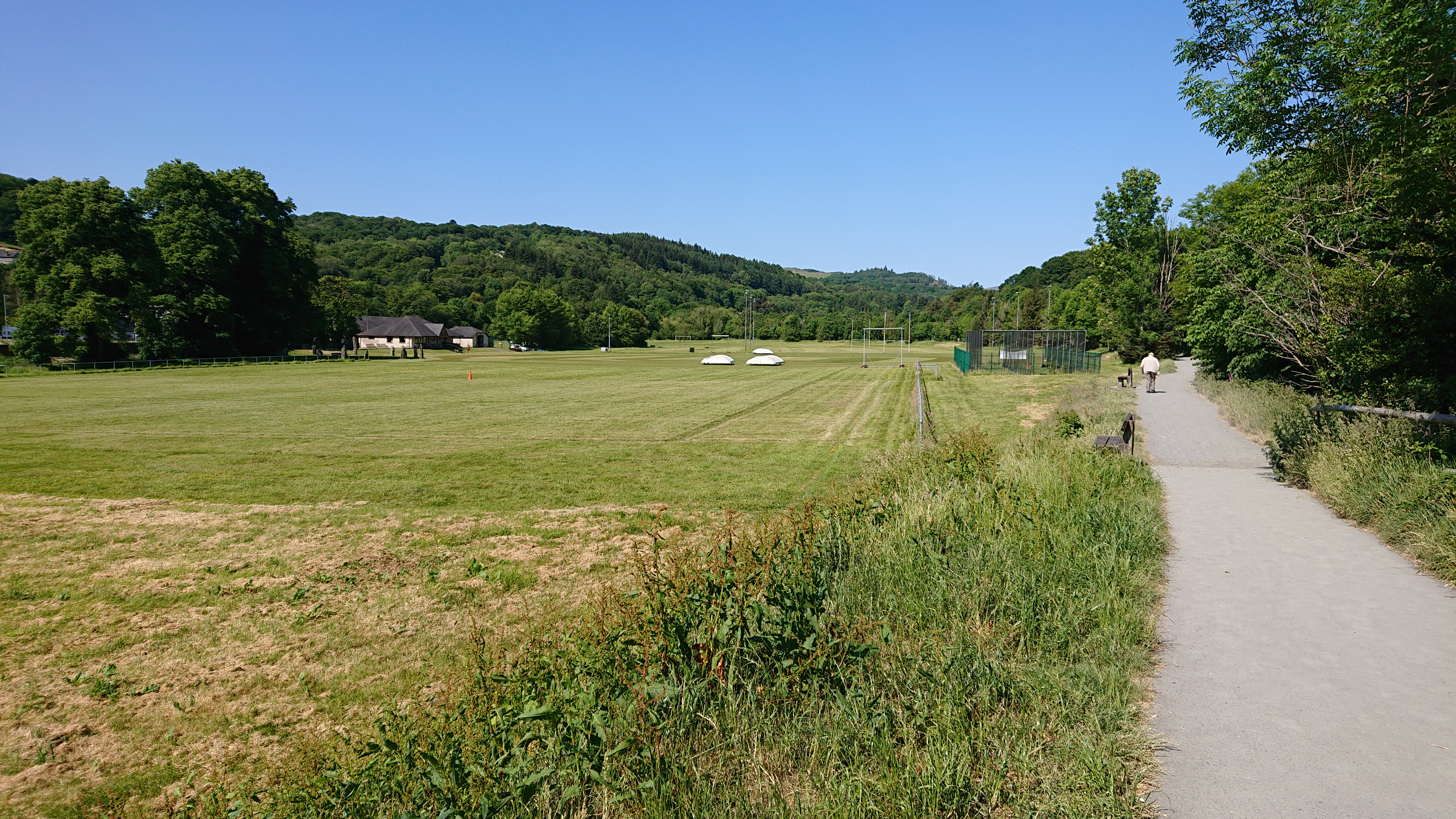
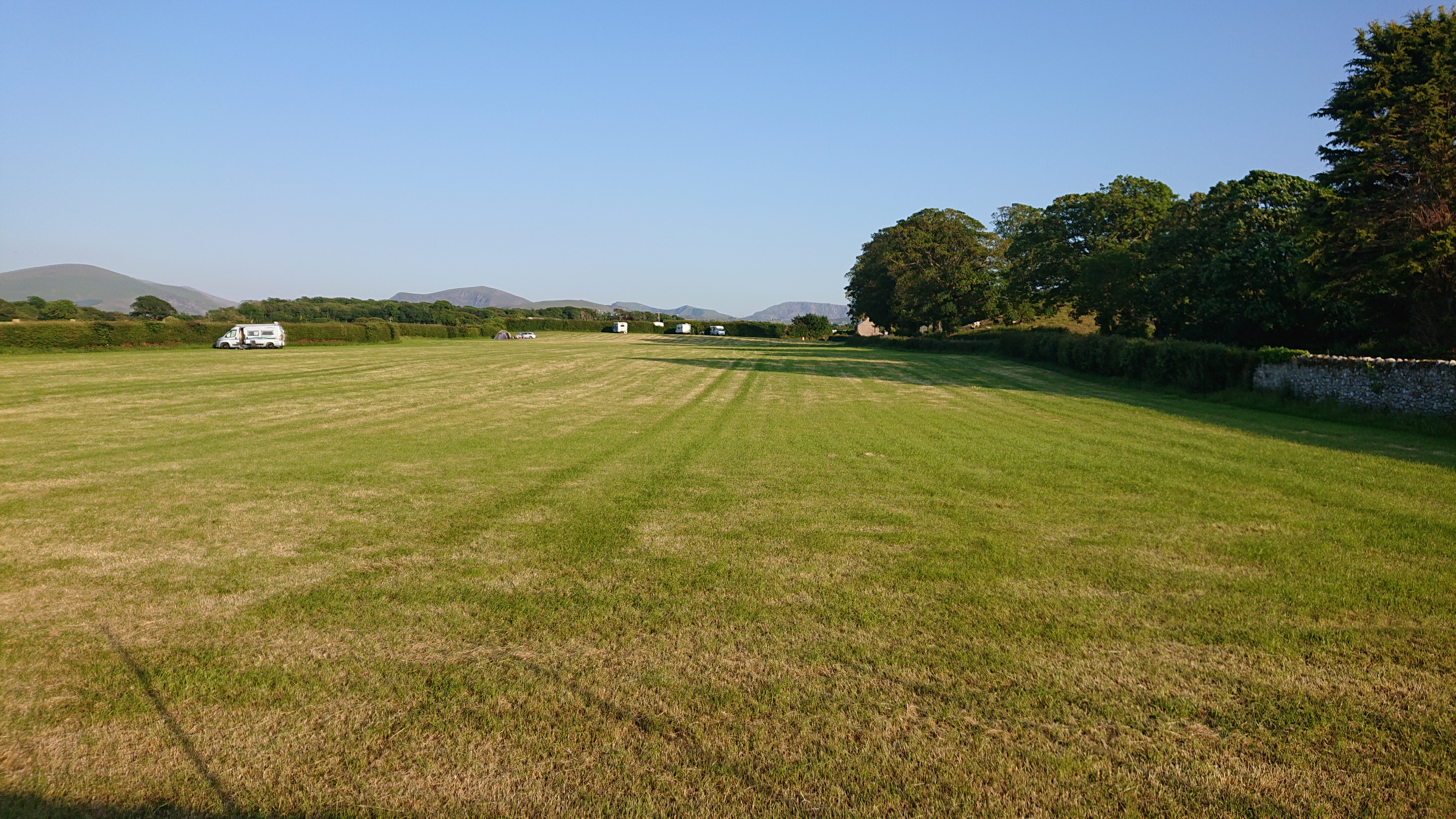
View of Dolgellau and surrounding hills from the camp site. There are two terraces for campers, each with a fence to prevent things from driving over you in your sleep!Yoghurt and milk were like my lifeblood that weekend!This was an okay yoghurt. The packaging promised more than it could possibly offer. It was, after all, just a yoghurt with loads of sugar in it. Didn’t taste exceptional.Took this back to sell Mid Wales to all who’d listen. Seem to have misplaced it, though. Anyway… Mid Wales is great! Visit it and give them all your money!Sheltering sheepPacked and loaded again! Today would not be a killer day. I’m on holidays and the weather is amazing… in Wales!Just what is the real Mid Wales? Perhaps I will never know now that I’ve lost my booklet!Dolgellau. I’d been here many times before to go mountain biking. It’s probably due another visit soon. Could bring the car, tent and more than one bike this time. Mid Wales has some super amazing cycling. Everyone should go there and bring a bike, even if they don’t want to go cycling on super steep roads. The bike would appreciate the holiday even if it’s just to go sunbathing!Rugby… has something to do with Wales?The escape route. I’d cycled the Mawddach trail a few times before. It’s flat and easy. The kind of thing people who hate cycling might like. It might be bicycle abuse to take your bike here unless it’s while cycling with your children who are so small they can’t even walk yet. The reason for taking this route was that the inland one through Coed y Brenin was one I’d seen a lot more of. Would be a shame to mope about in a forest in this weather, too!There’s this big mountain behind Dolgellau…It’s not… or is, cricket!
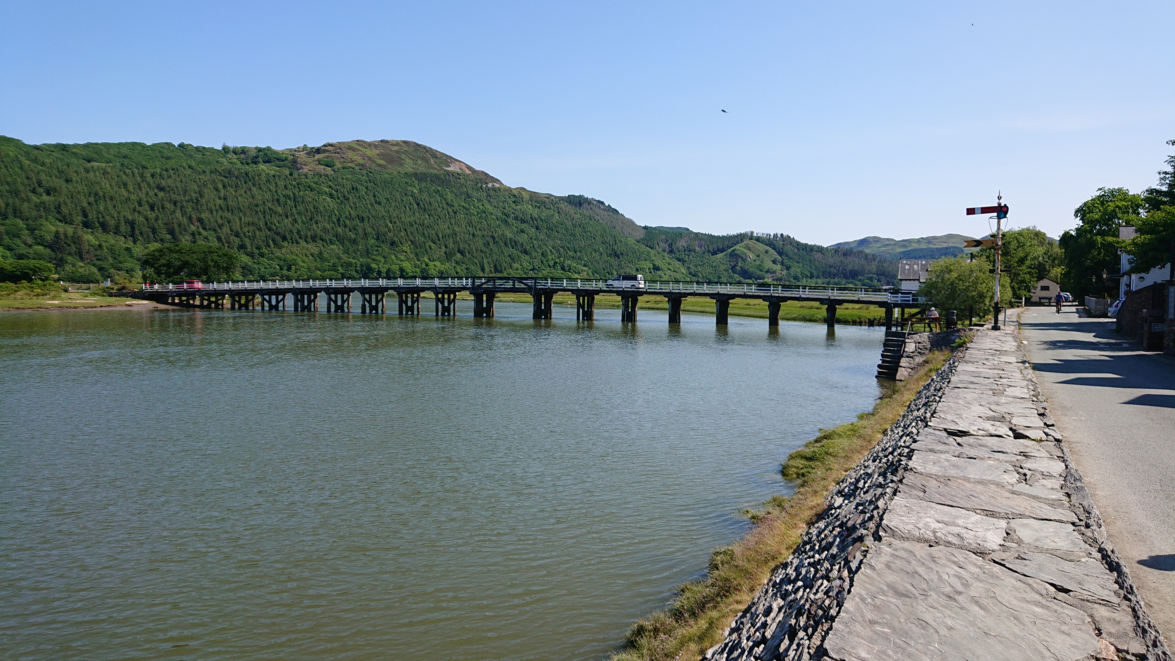
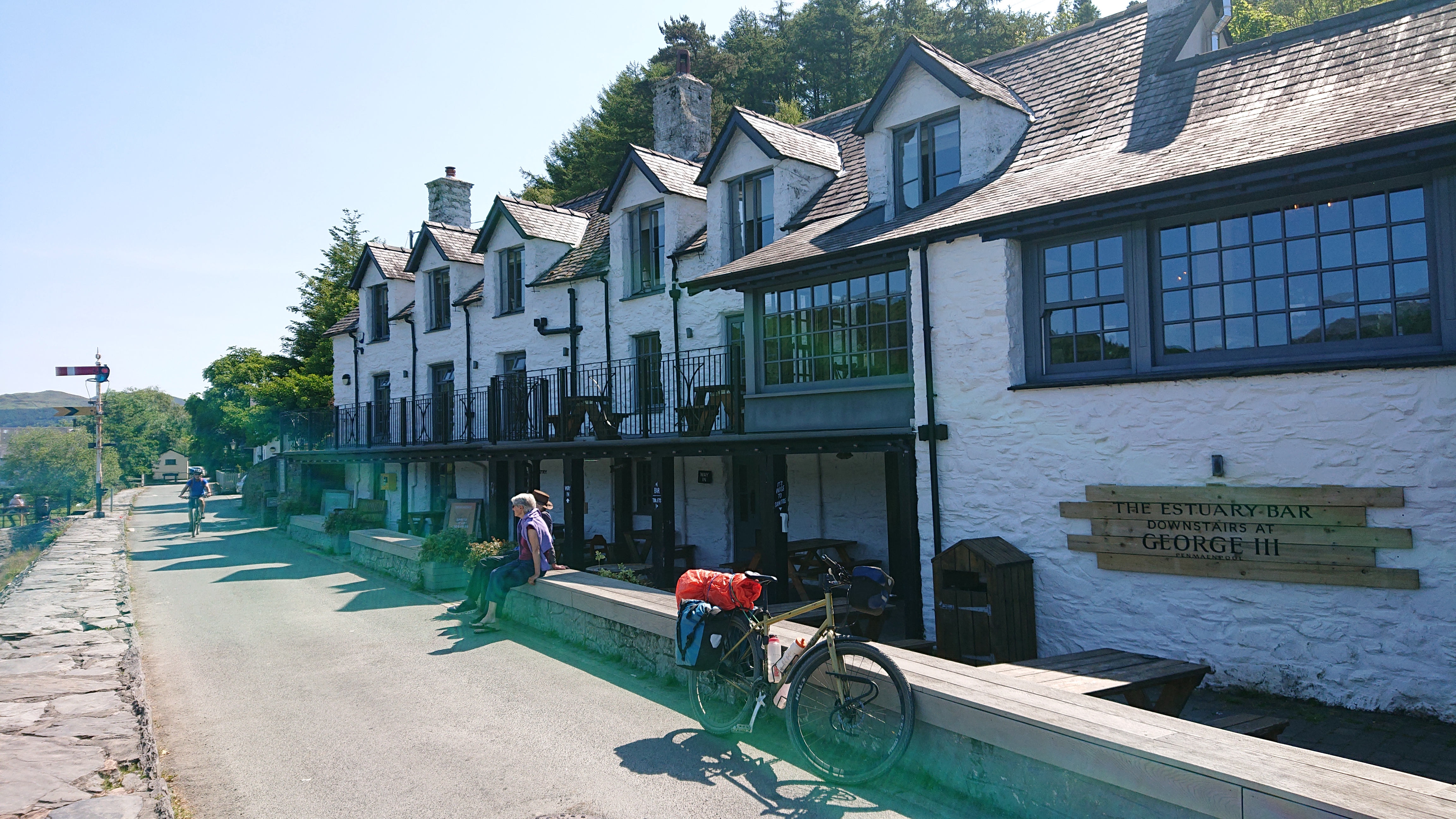
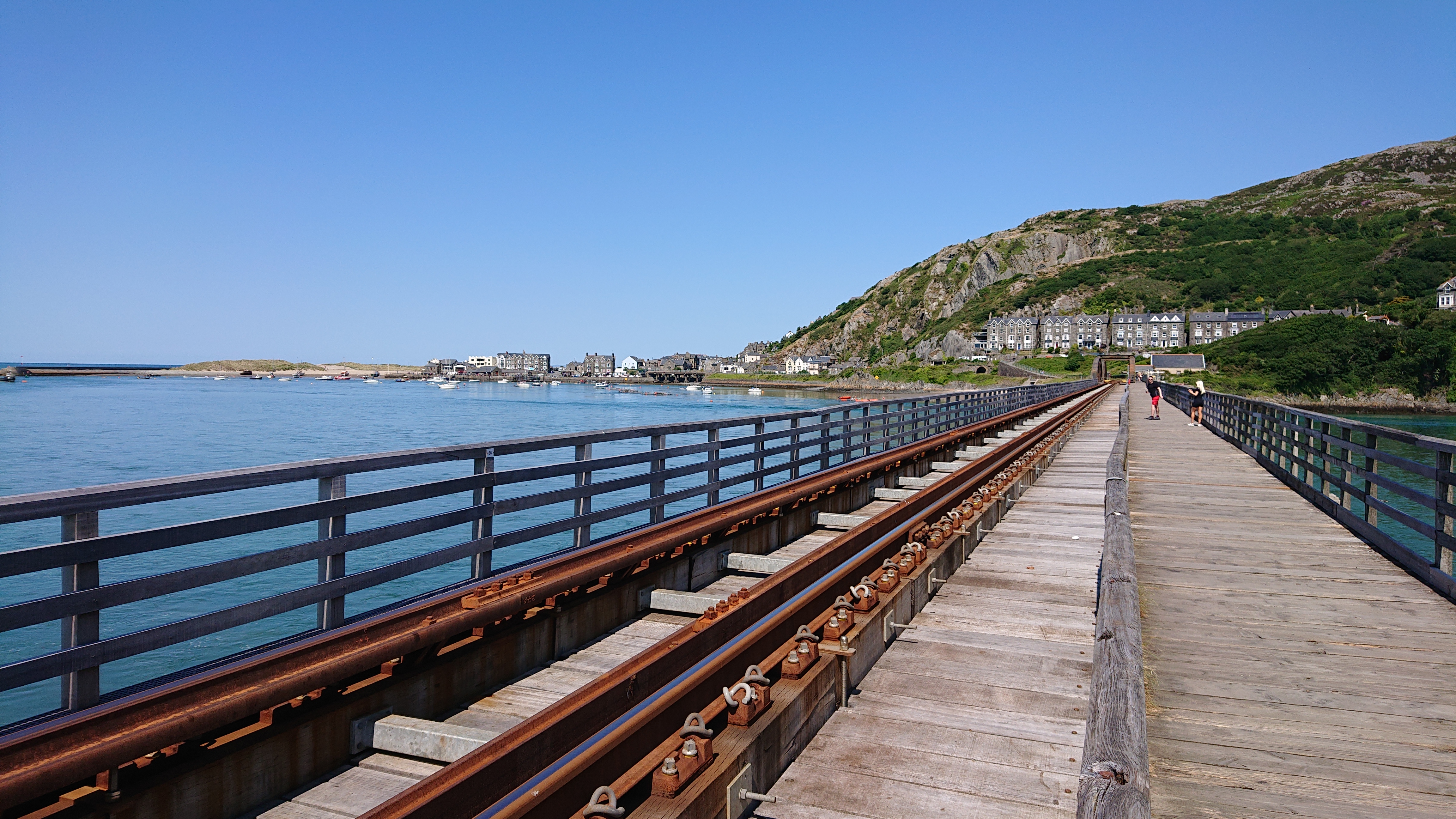
Mawddach TrailThis bridge and pub are both familiar friends. Our association this day was but a parting hello. I may be a little tired writing this!Really flat. Dusty, too. I’d have to re-apply lubricant to the chain after this. Took it with me with the consequences of cycling here in mind!The railway and pedestrian bridge across to Barmouth is just about visible here.Chukka-chukka choo-choo! I like trains, but not in a way that’s weird and has me thinking about them after I can see them no longer!
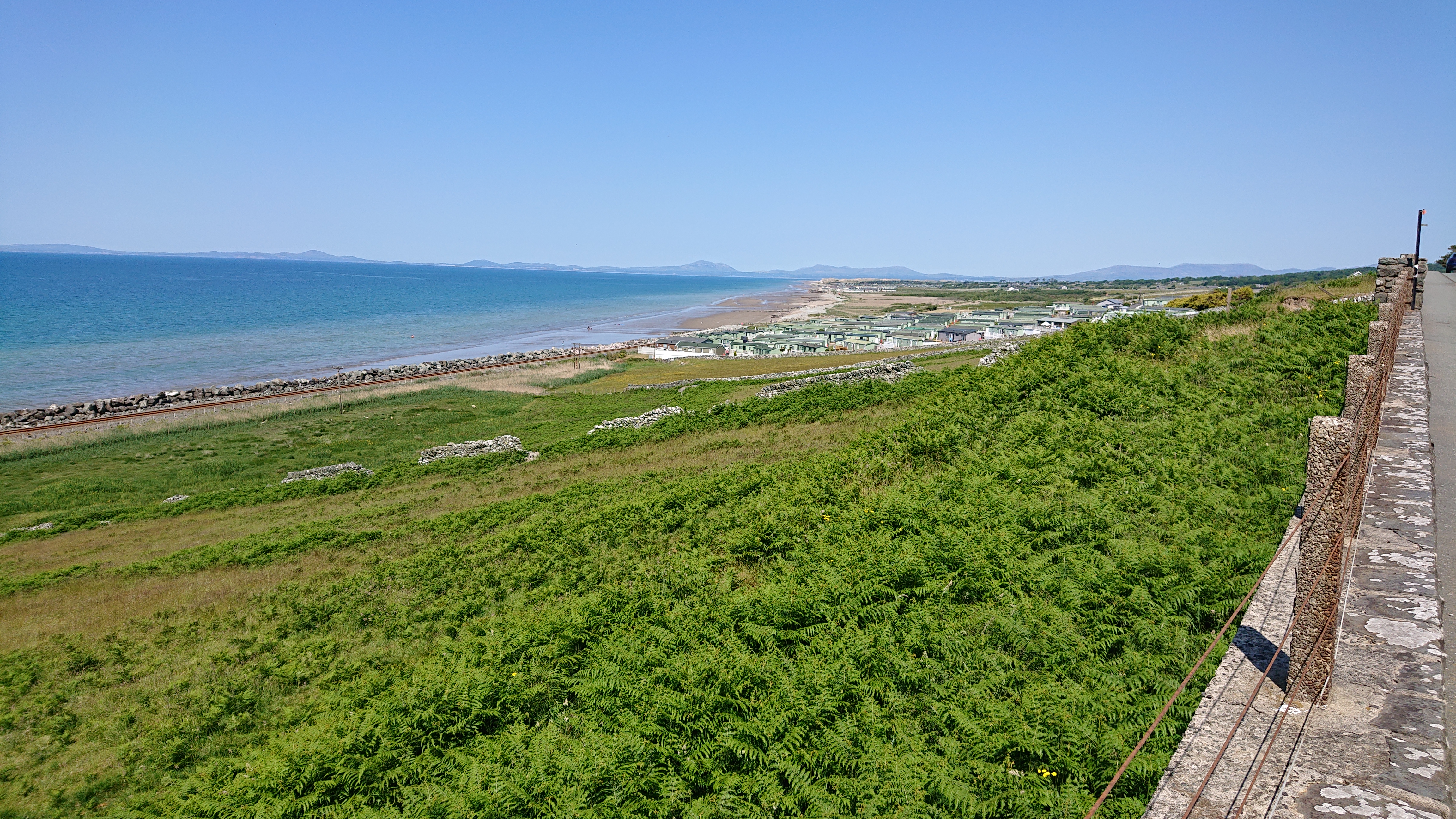
Mawddach Rail Bridge to BarmouthThe train comes out of this hole. I wonder if it exists when I can’t see it?Maximum Andy!There was quite a nice beach in Barmouth. It was mobbed. The only place like this on the whole trip.My humps. Is a song so cataclysmically bad that it cannot be unheard. The word itself is so uncommon that it reminds me of the blasted thing!Beautiful coastline, meet caravan park!I was on a main road for a few kilometres before turning off and climbing up to the coastal uplands. If you think you know what these signs mean, today they mean cycling bliss lies ahead!Pretty nice. Pretty. Nice. Pretty nice!
Sunny Lane in Coastal Uplands North of BarmouthI think they’re taking the mick with this supposed “language”, or, in Welsh, taking the mwychh.
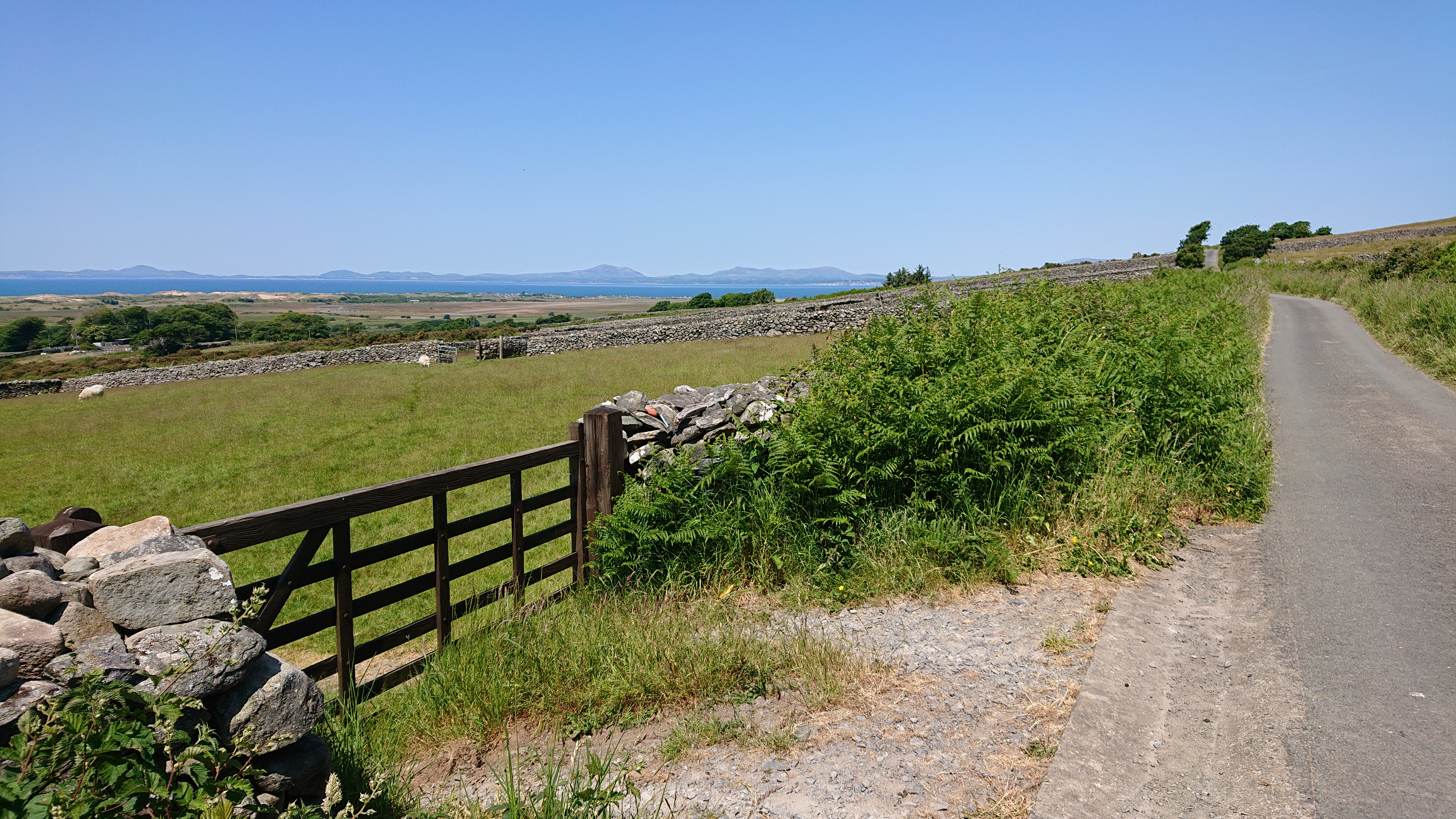
Pastoral Panorama of Coastal UplandsThere were many roads that would go through private land in Wales. These have gates to open and close. This area was full of them. It became expected and even fun after a while.I really don’t know. On another trip a long time ago (Hadrian’s Wall?) I saw a Super Nintendo built into someone’s wall. Which is stranger?
Heavily-Wooded Upland Lane
Wild Countryside Lane
Pretty Wooded LaneThere’s always someone who wants to find their own tranquil spot in Wales… and open a caravan park in it!This is a mountain. It has a name. Rhymes with “Snowdon”. Can you guess what it is?!?Answers on the back of a postcard… or just tell me what the hell this means! Perhaps you’re not allowed have large vehicles on this road and it’s monitored by Moonraker? They might be specifically watching for trucks that might move sheep about so that farmers can claim more headage than they actually have?!?
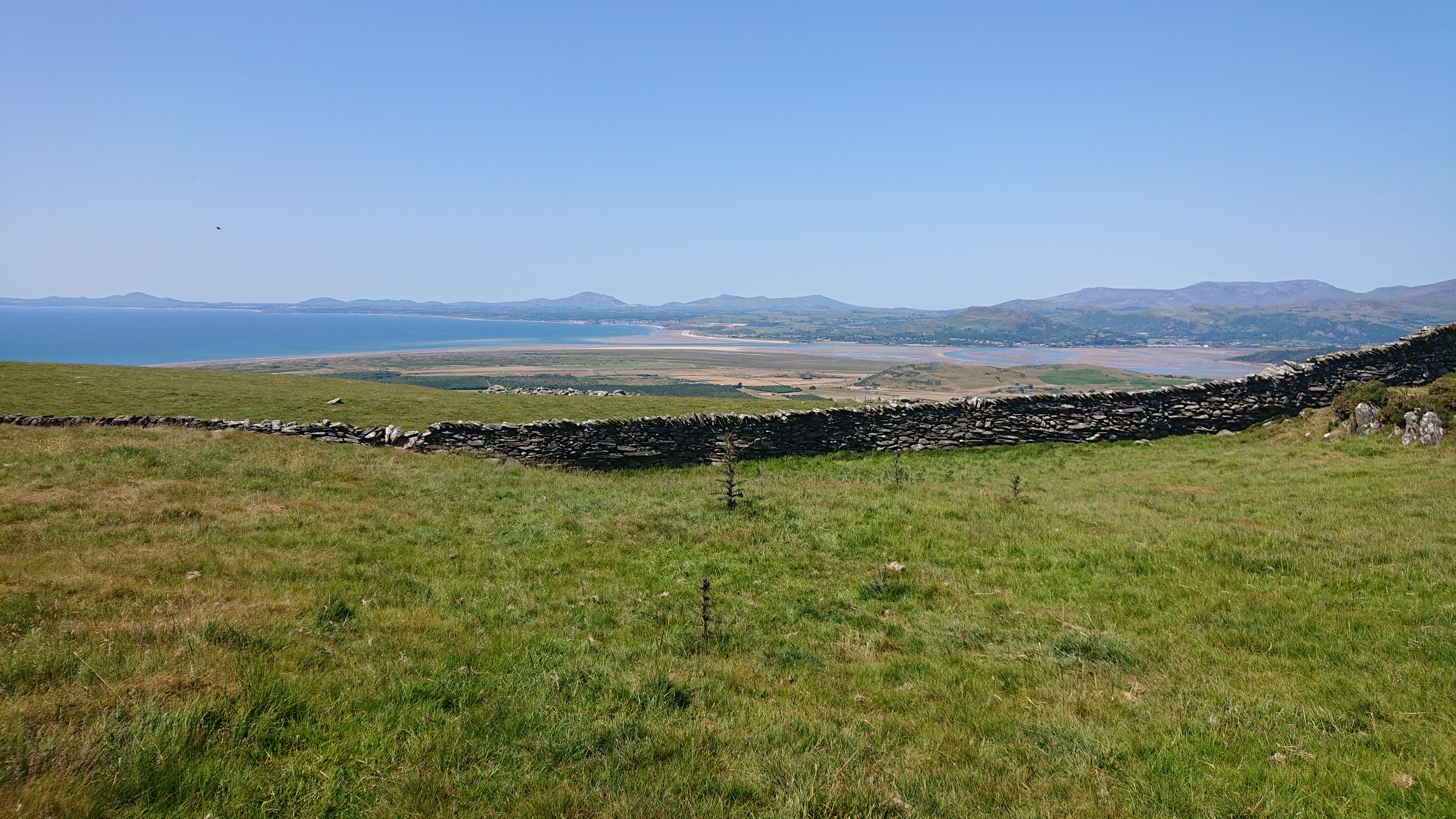
View of Snowdon From Coastal UplandsThe sea. It’s this thing… with water in it!Snowdon!Snowdon!
Snowdon and Coastal View From UplandsIt’s a mountain!You’d have to have been there: this descent was a lot steeper than the photo suggests. There was also a gate somewhere near the bottom to slow you down.
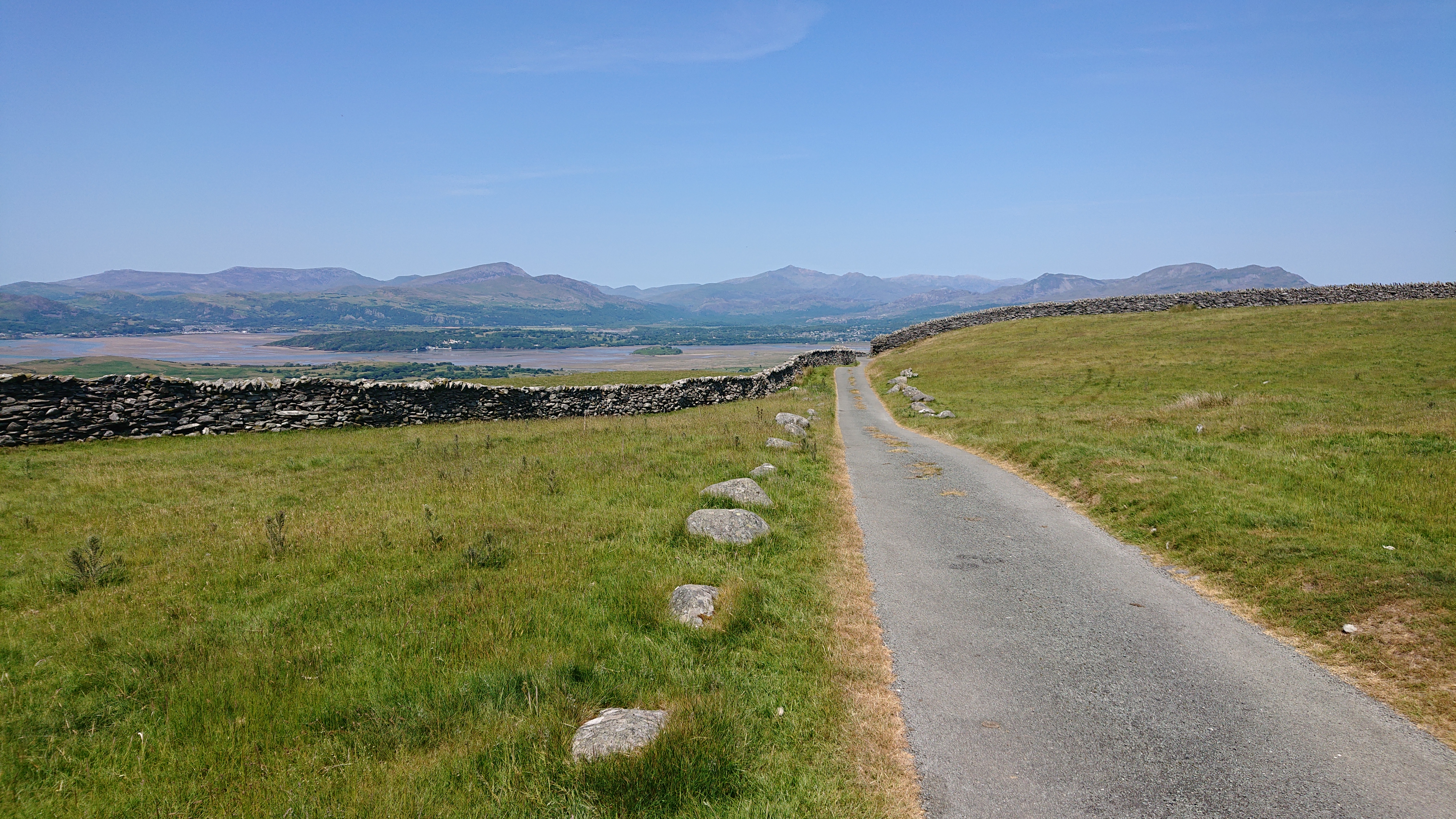
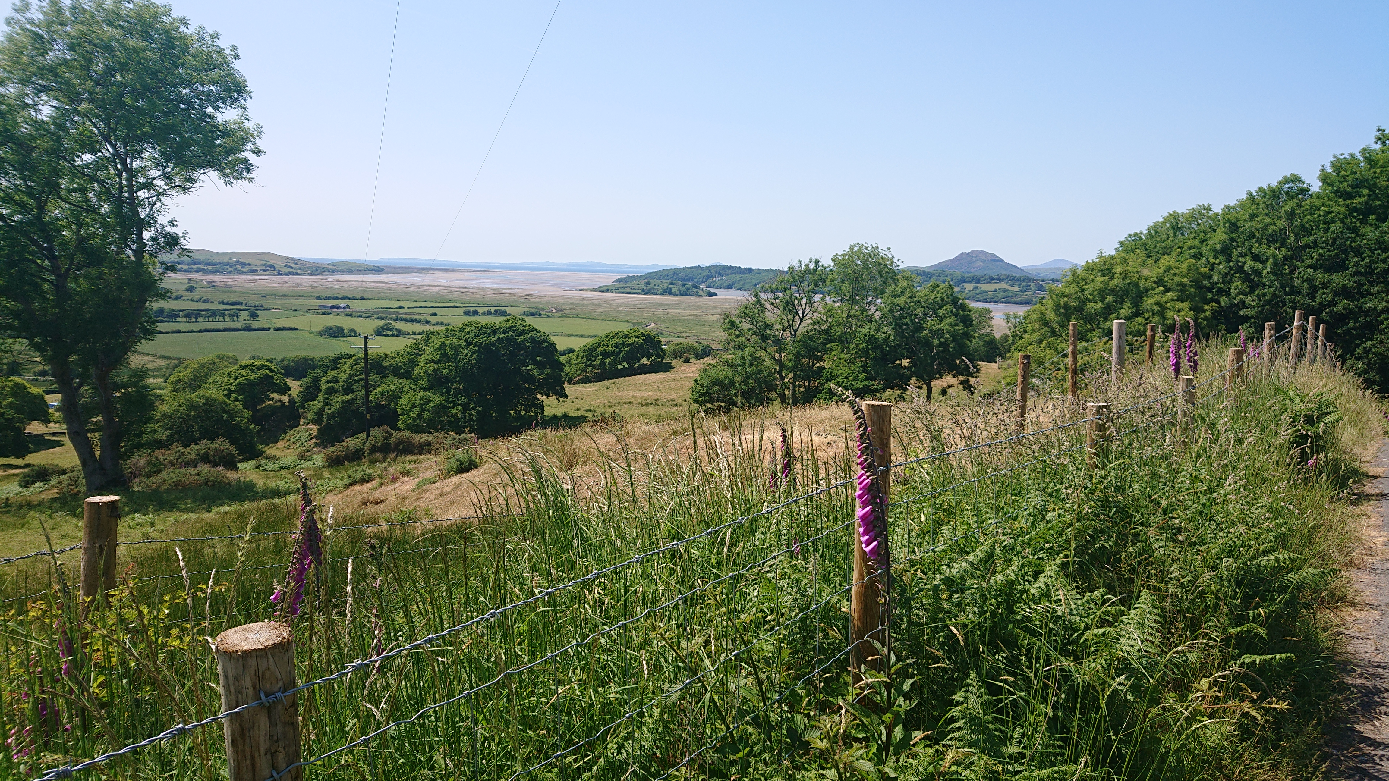
Snowdon, Walls and the Grass Is Green!There’s that mountain again.Narrow ridge ahead!Stopped in the shade over there for a little lunch.Learned a bit about the town ahead and the causeway.
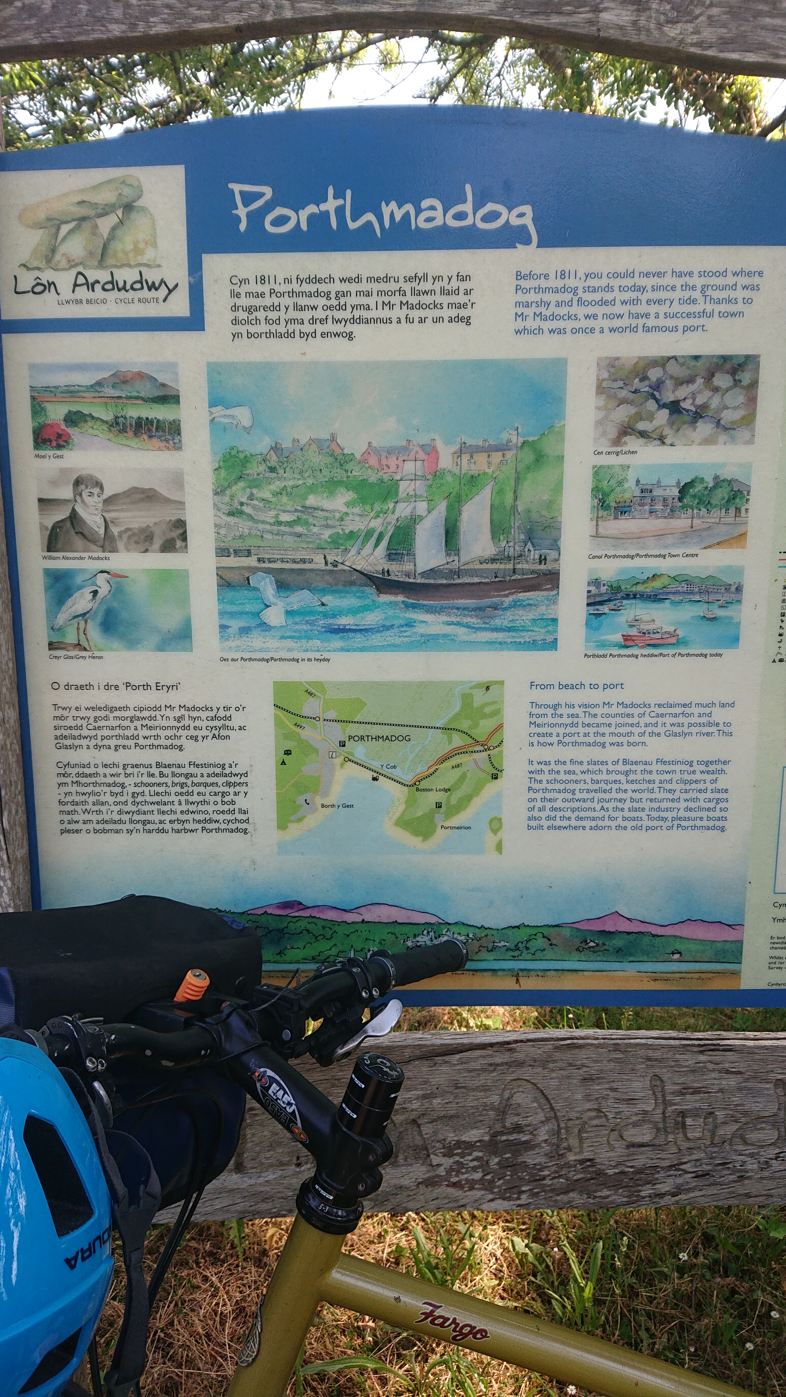
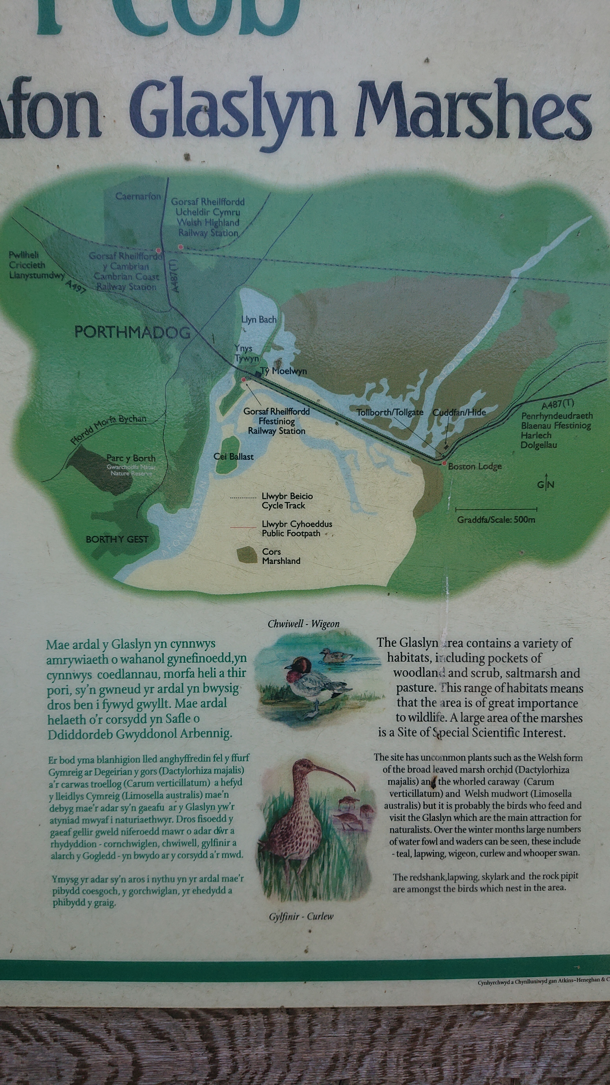
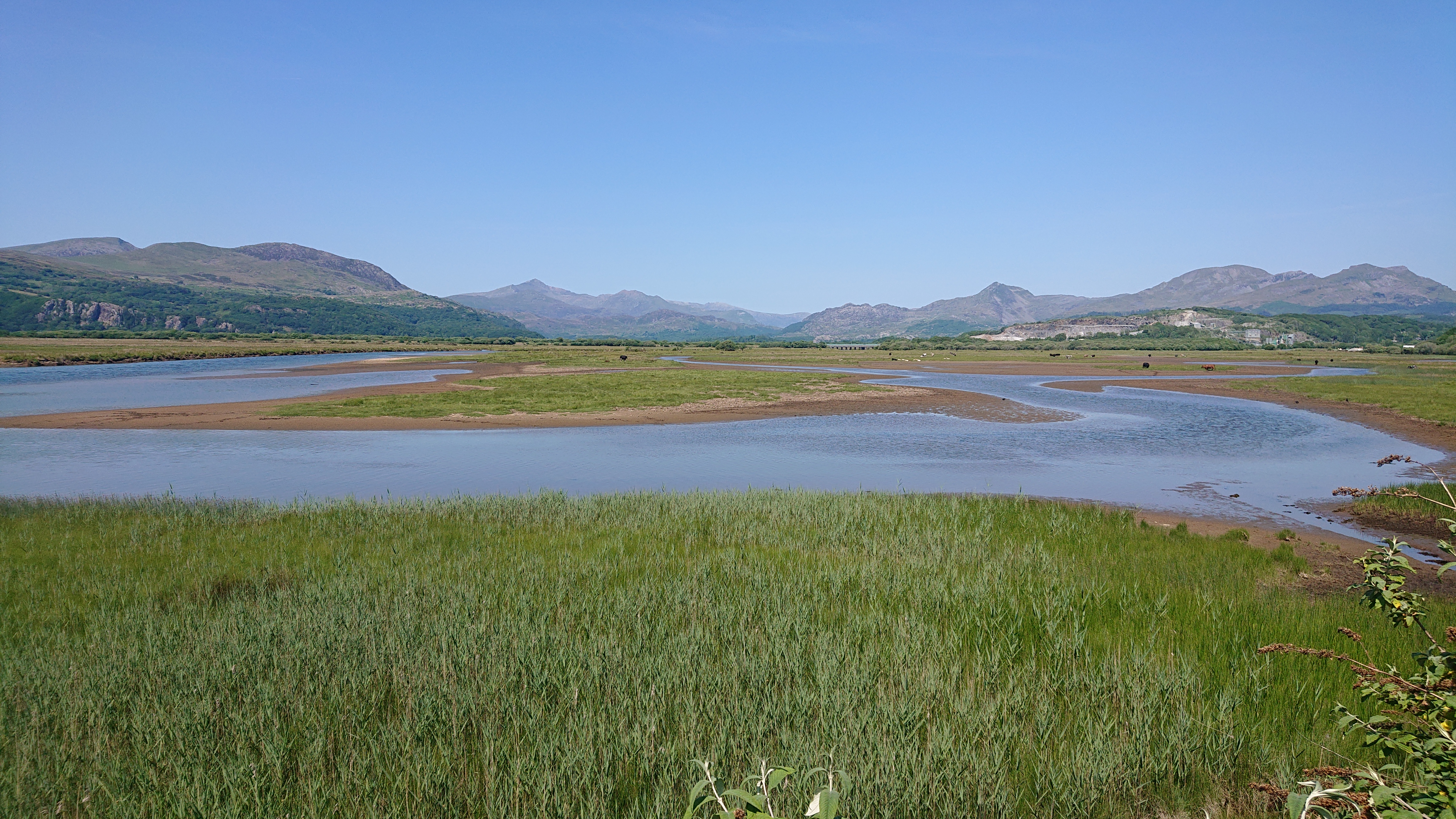
River Flats by Afon GlaslynThe famed Ffestiniog railway! I stayed in Llan Ffestiniog once. Haven’t been on the railway, though.It’s Snowdon again. Snowdon! If I’d brought my colouring pencils I could have drawn thirty-six views of it that day!The causeway to PorthmadogThe route goes through the town, but also through this lovely park.
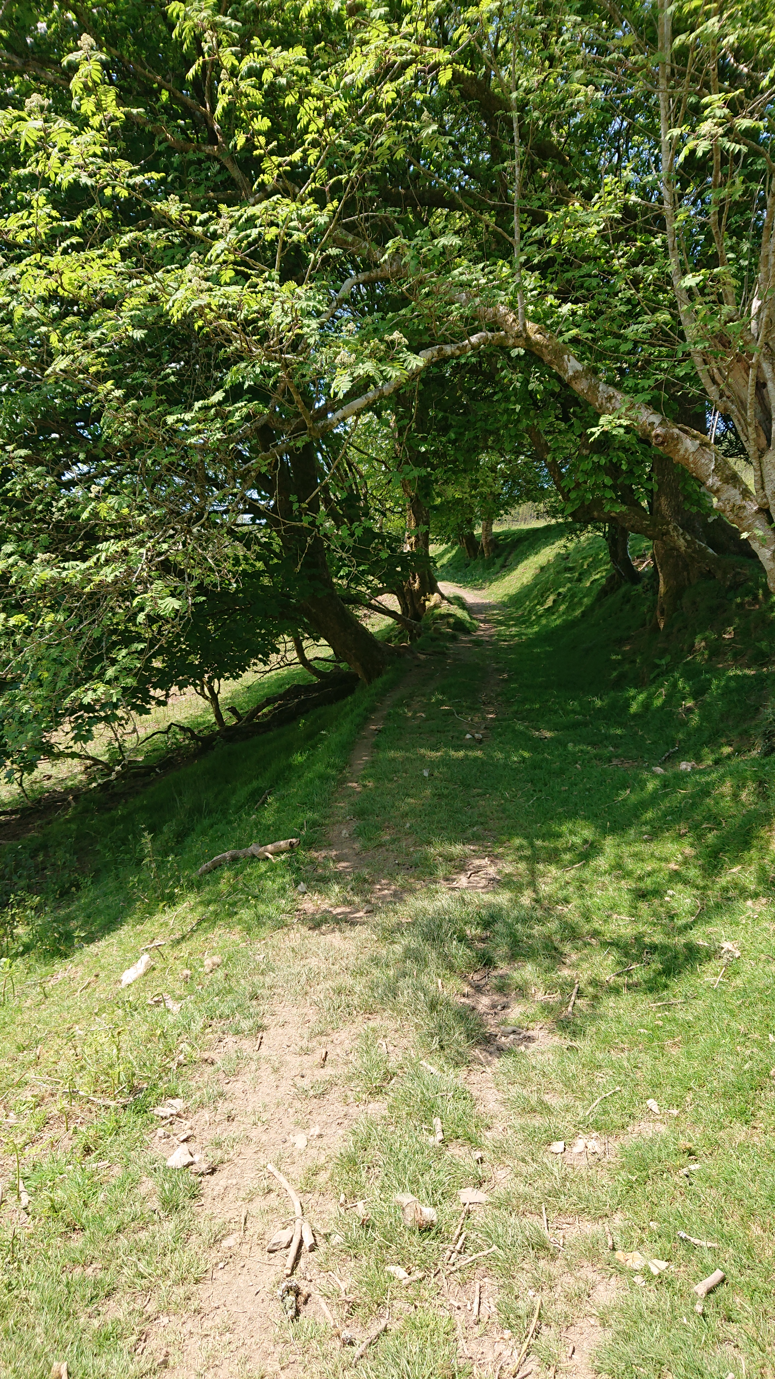
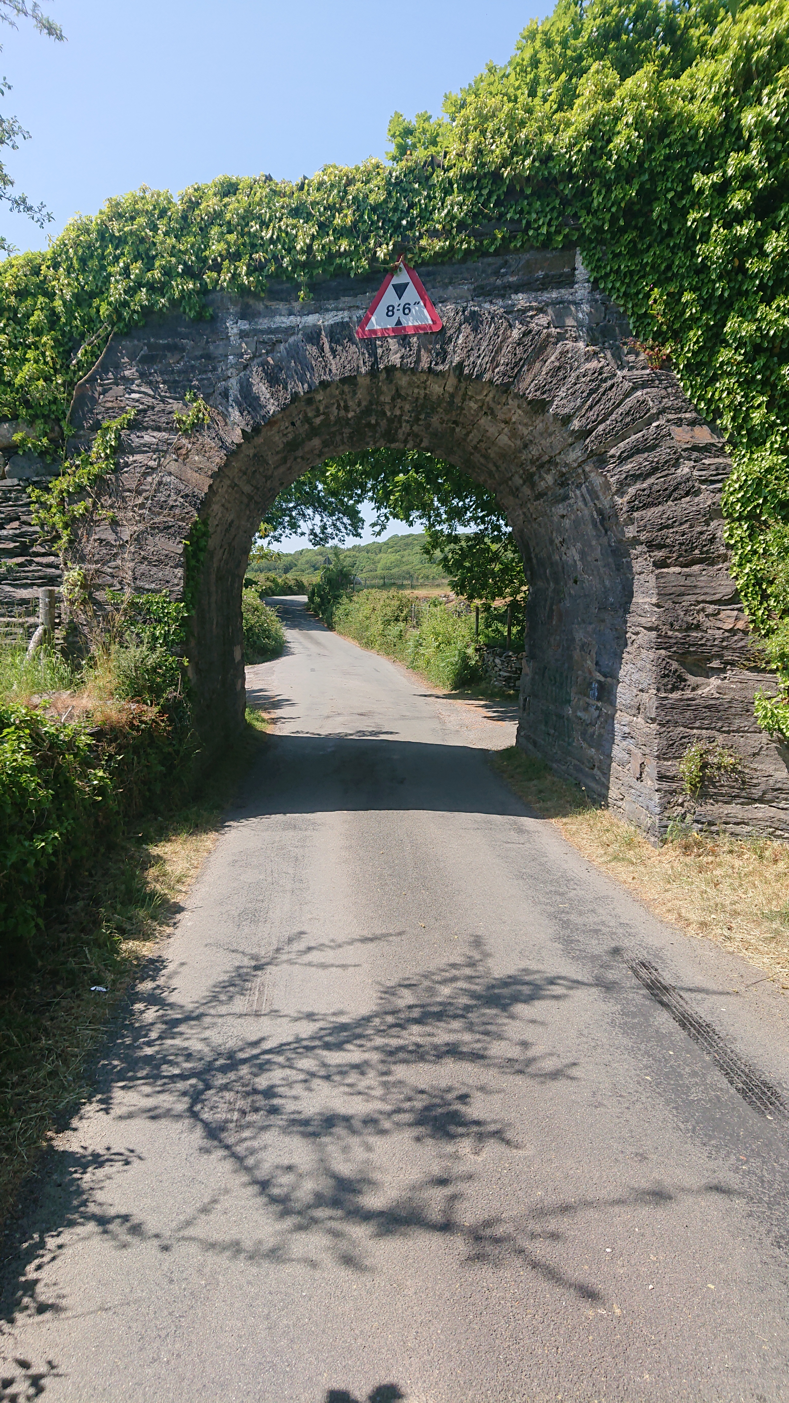
Park Near PorthmadogI don’t speak Welsh, so I’ve got no idea.“Tonight on Horse Watch UK! Two horses armed with sawn-off shotguns robbed the Porthmadog post office. They made off with £50,000 in a black Honda Civic that was later found burnt out in Caernarfon!”Gate out of my way!Cliff = Flood?!?This lovely upland road continued on past this point where my route took me to a rail trail. Those tend to be flat and… less interesting? Still, a change is as good as a holiday, and that’s what I’m here for!Progress was super fast on the rail trail once it started its descent to Caernarfon.You got a real sense of speed descending on this narrower track.
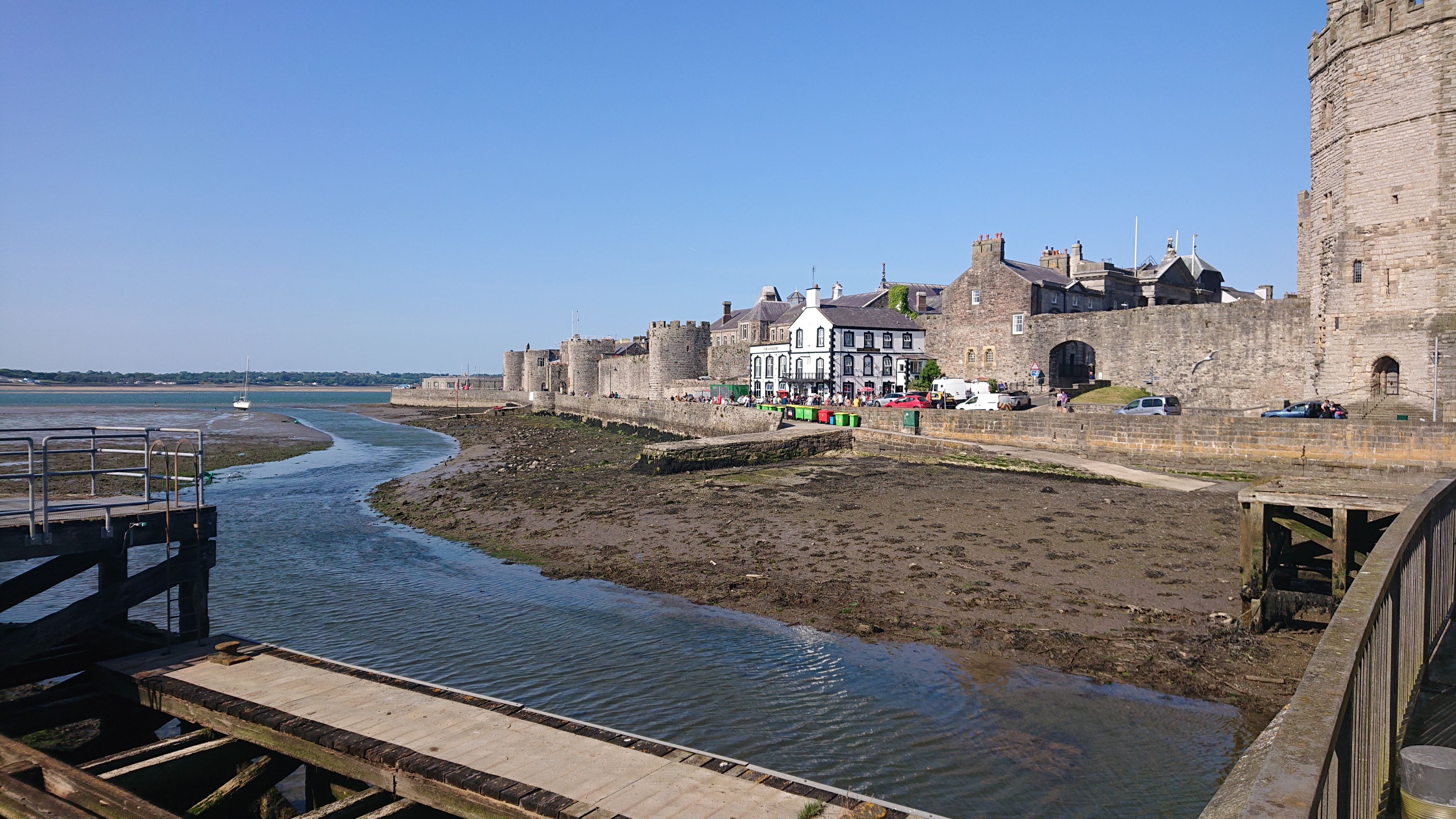
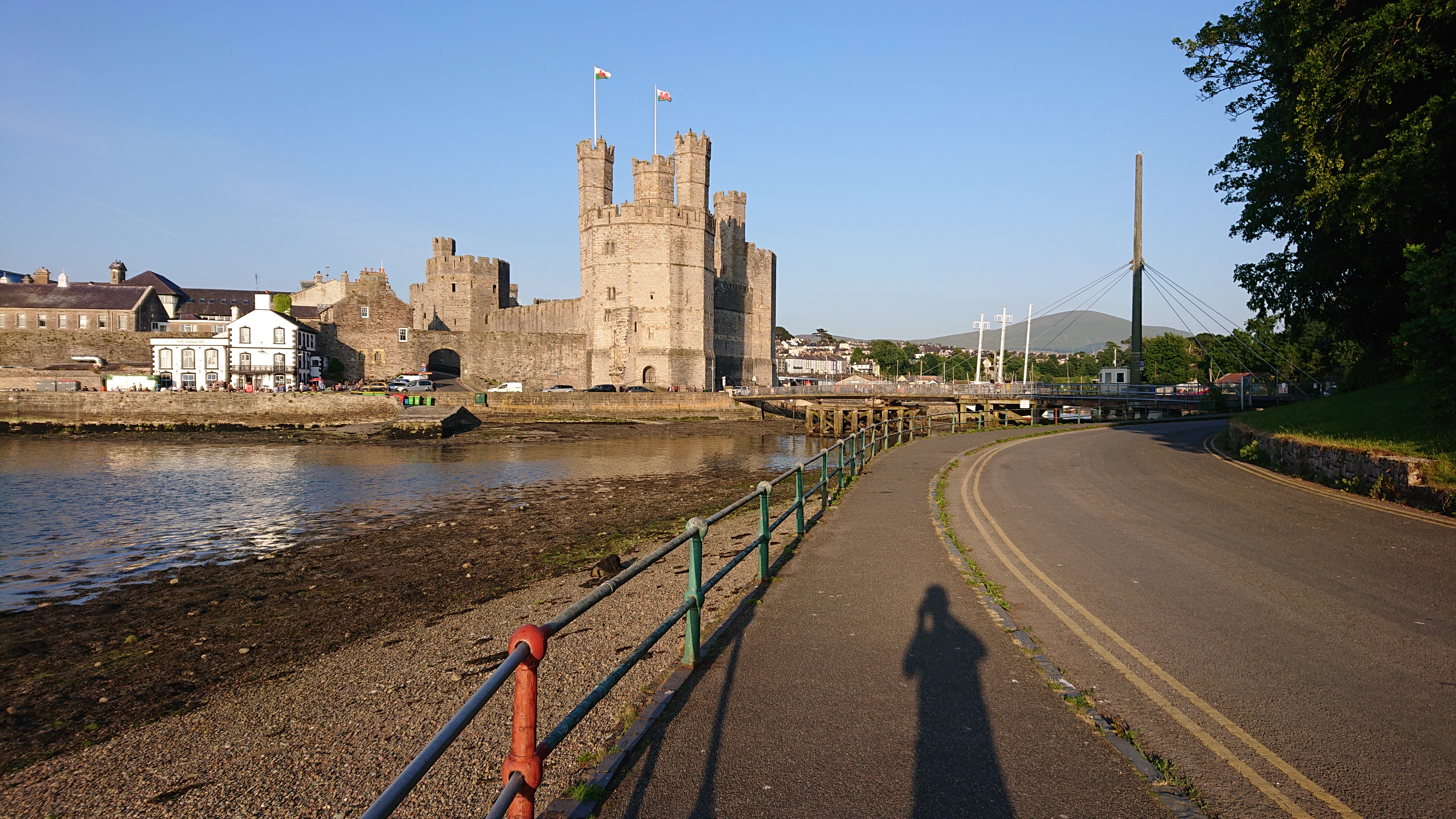
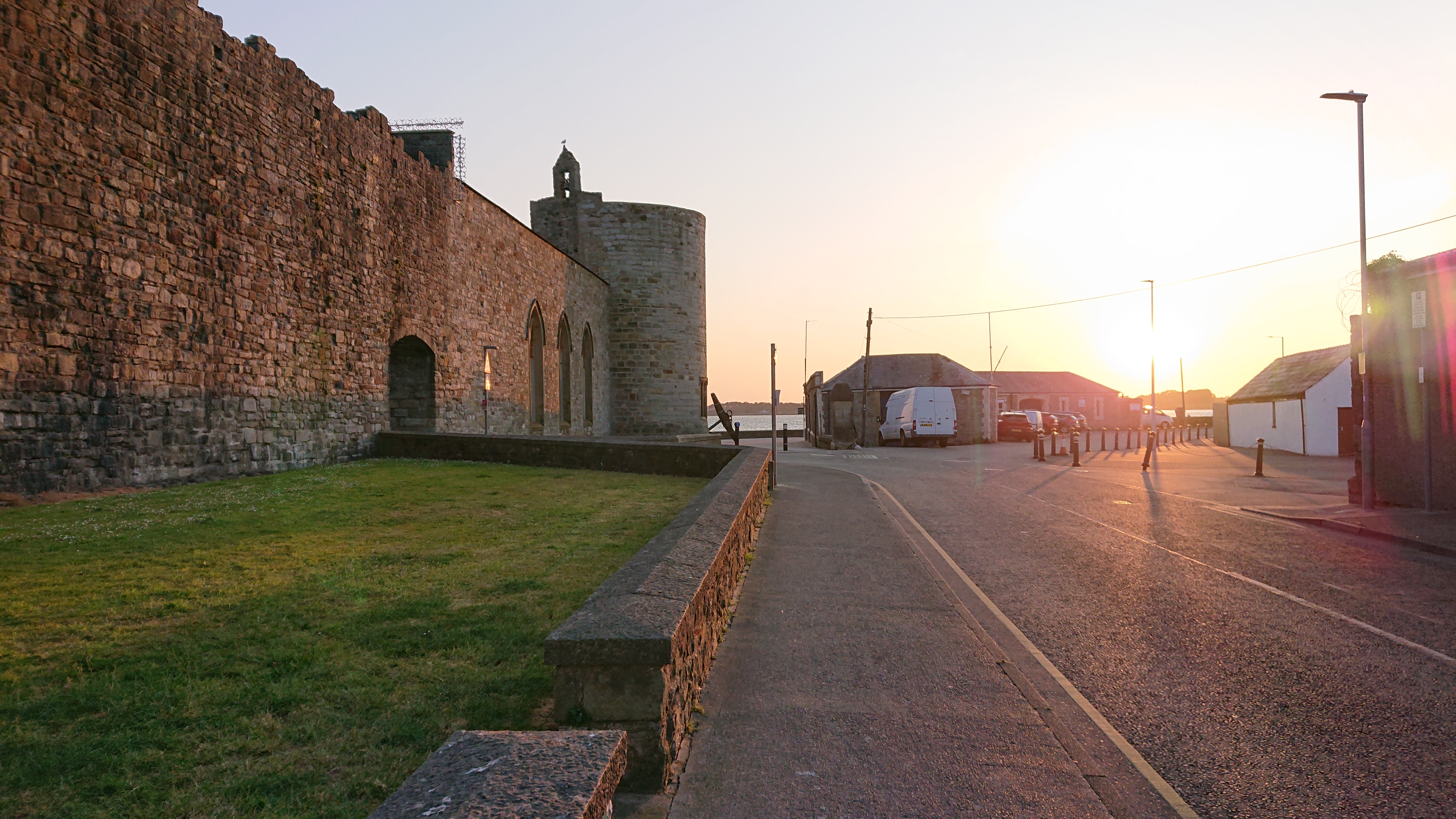
Forest Path to CaernarfonAll of a sudden there were no longer trees, but a castle!My camp site was across this bridge that opens and closes for the boats, but is closed between 23:00 and 07:00.Short coastal road to the camp siteThe facilities were impeccably clean and the shower was amazing. The owners were very friendly, too. They showed me their son’s fancy carbon road bike he competes with. Like the previous camp site, but unlike the first one, I was able to charge my phone.
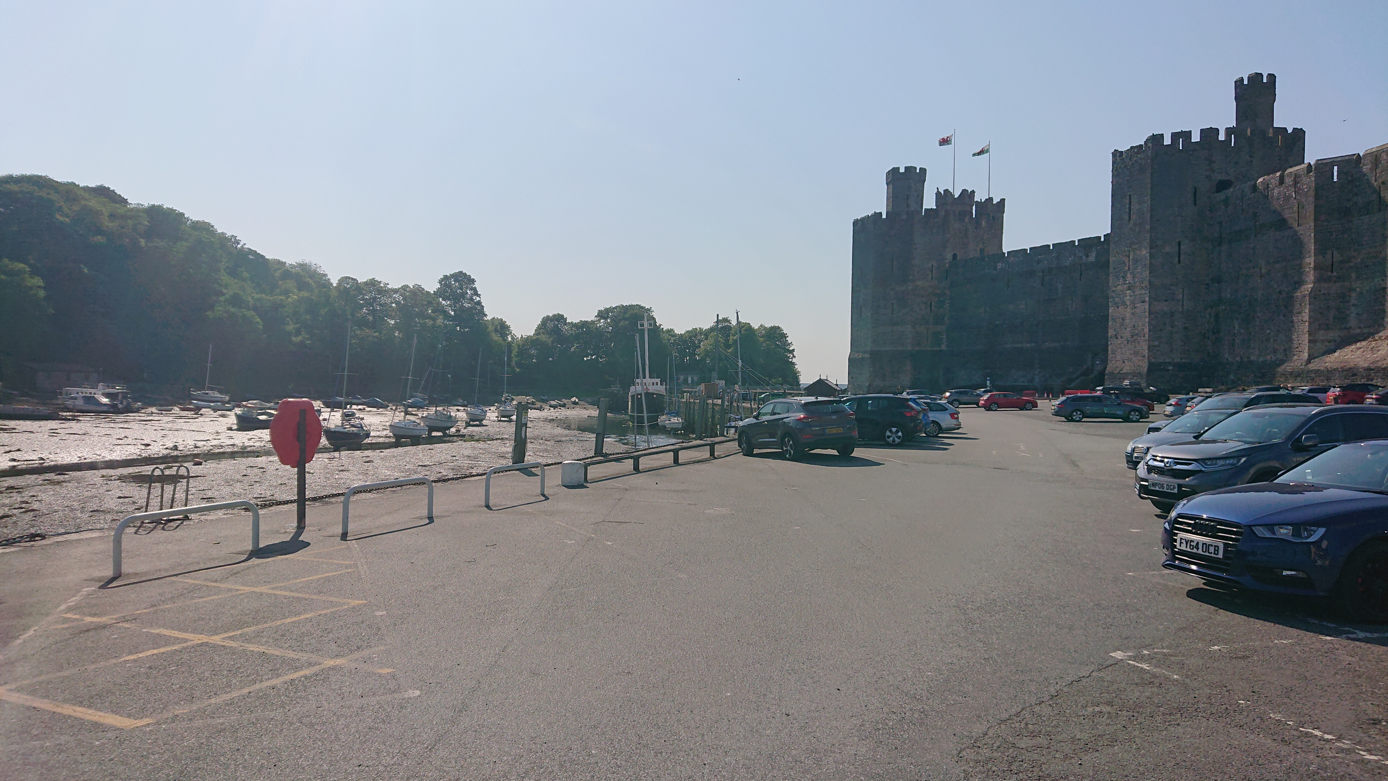
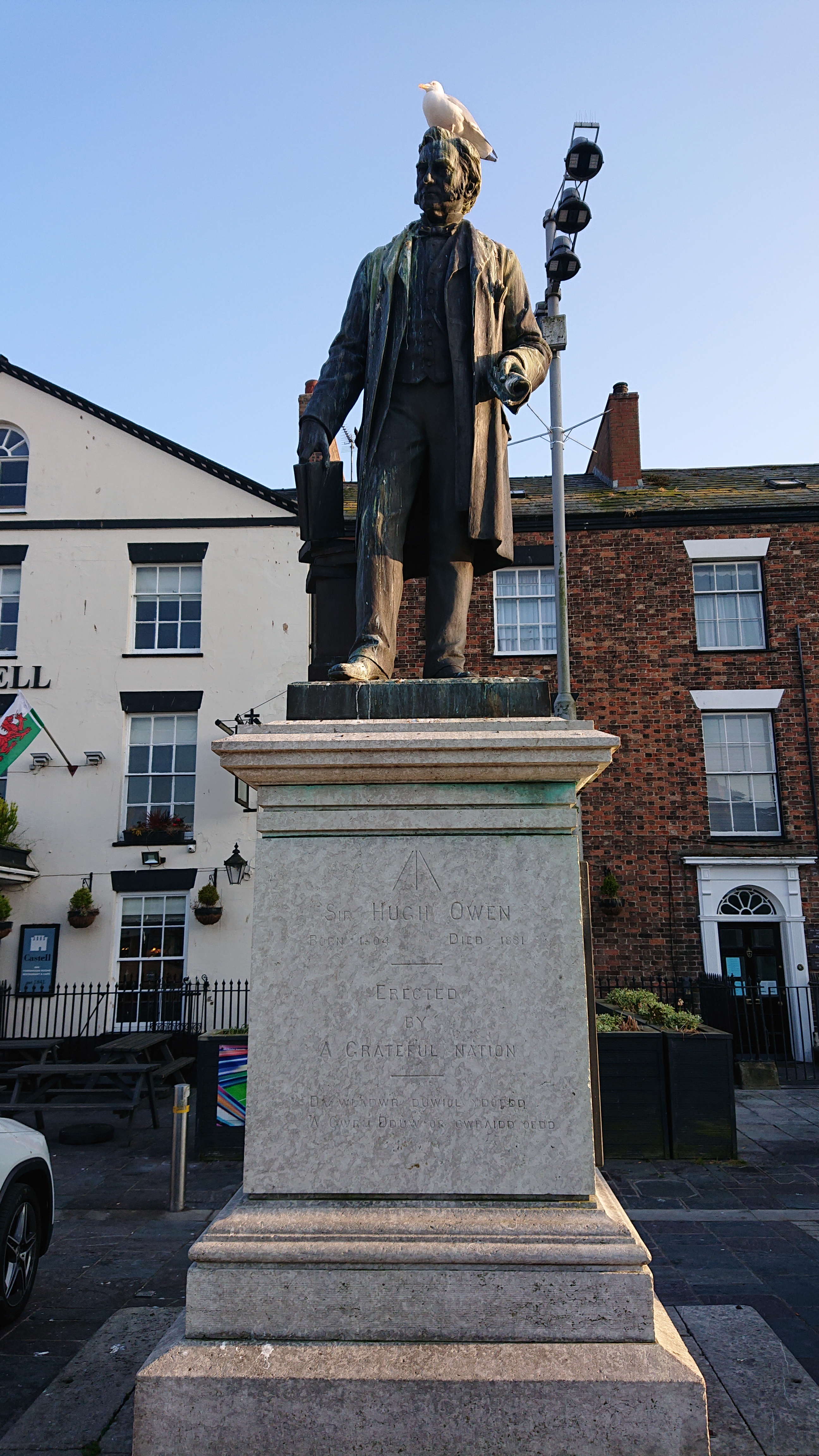
Aber Swing Bridge, CaernarfonA boat was going through as I returned to Caernarfon in search of food to supplement my dinner!The World War I guyAre seagulls knowingly or unknowingly funny?Tír na nÓg! It’s a horse, but also at least one other thing!The word “hill” is in there. So, to read Welse, ignore all the word fragments that aren’t plain English?!?
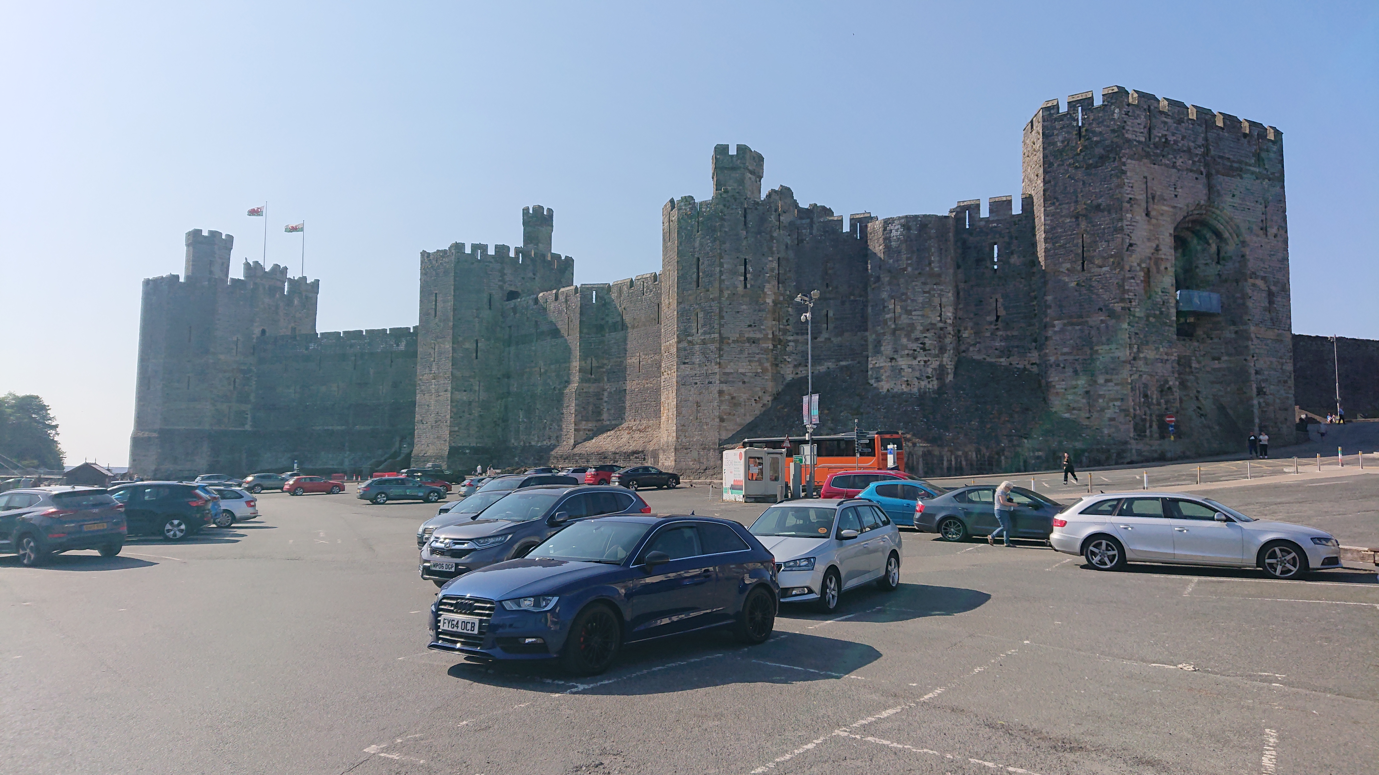
Caernarfon was a bit scruffy…Looks nice from up here, though!
I could hear souped-up cars revving down below, however!
Looks nice from up here, though!
I could hear souped-up cars revving down below, however!
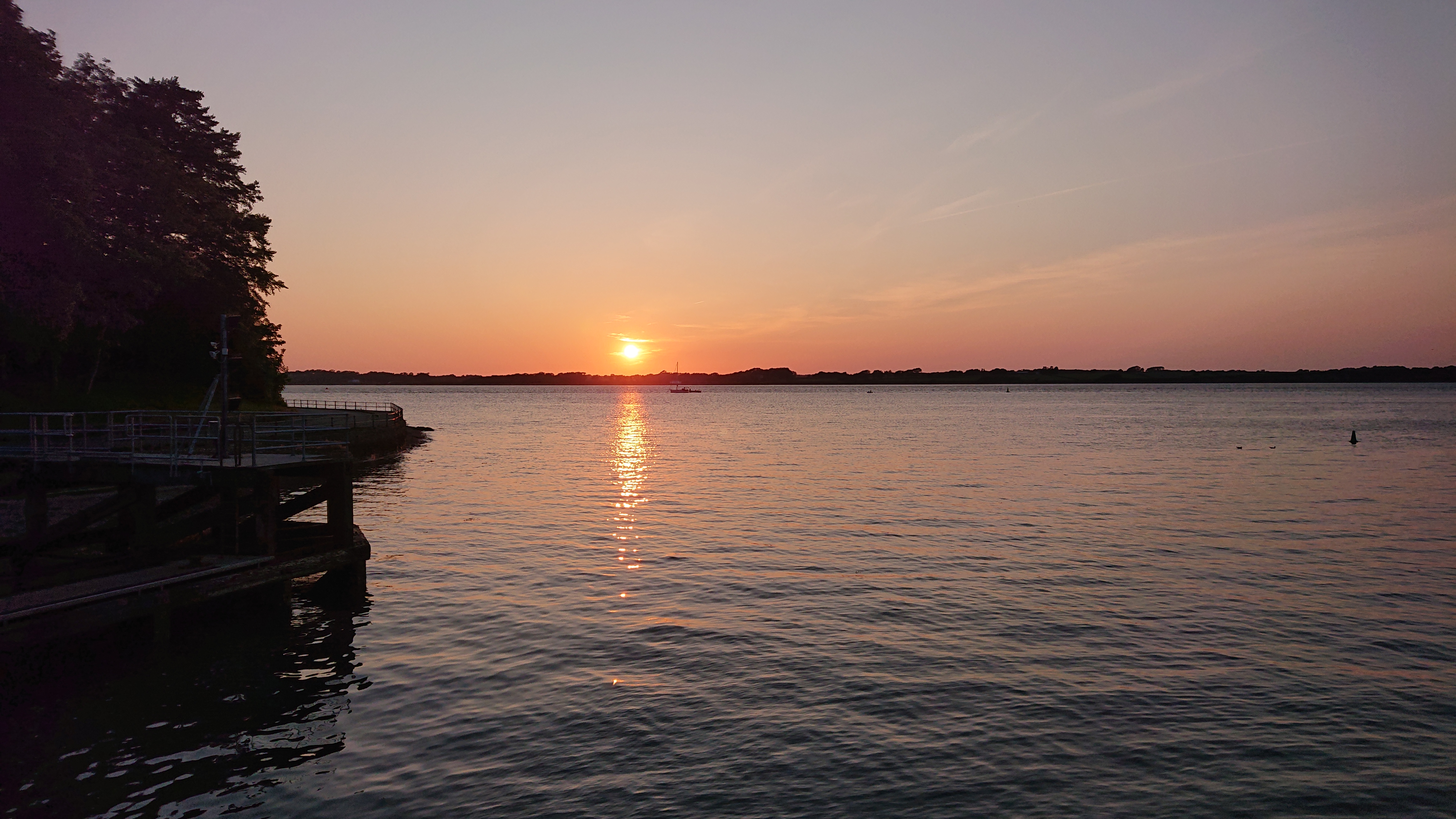
Caernarfon ViewCaernarfon is like Monaco – souped-up cars, and yachts!A young Welsh couple passed as I was lashing back some milk. They spoke in Welsh, but I could now understand it perfectly. She asked what on earth I was drinking. He chuckled as he suggested eggnog.Walking back to the camp site at sunset.Plenty of hay and some sileage, too. Nice smell!Time for dinner and a sleep!
Day 4: Caernarfon to Holyhead
66km, 567m of ascent
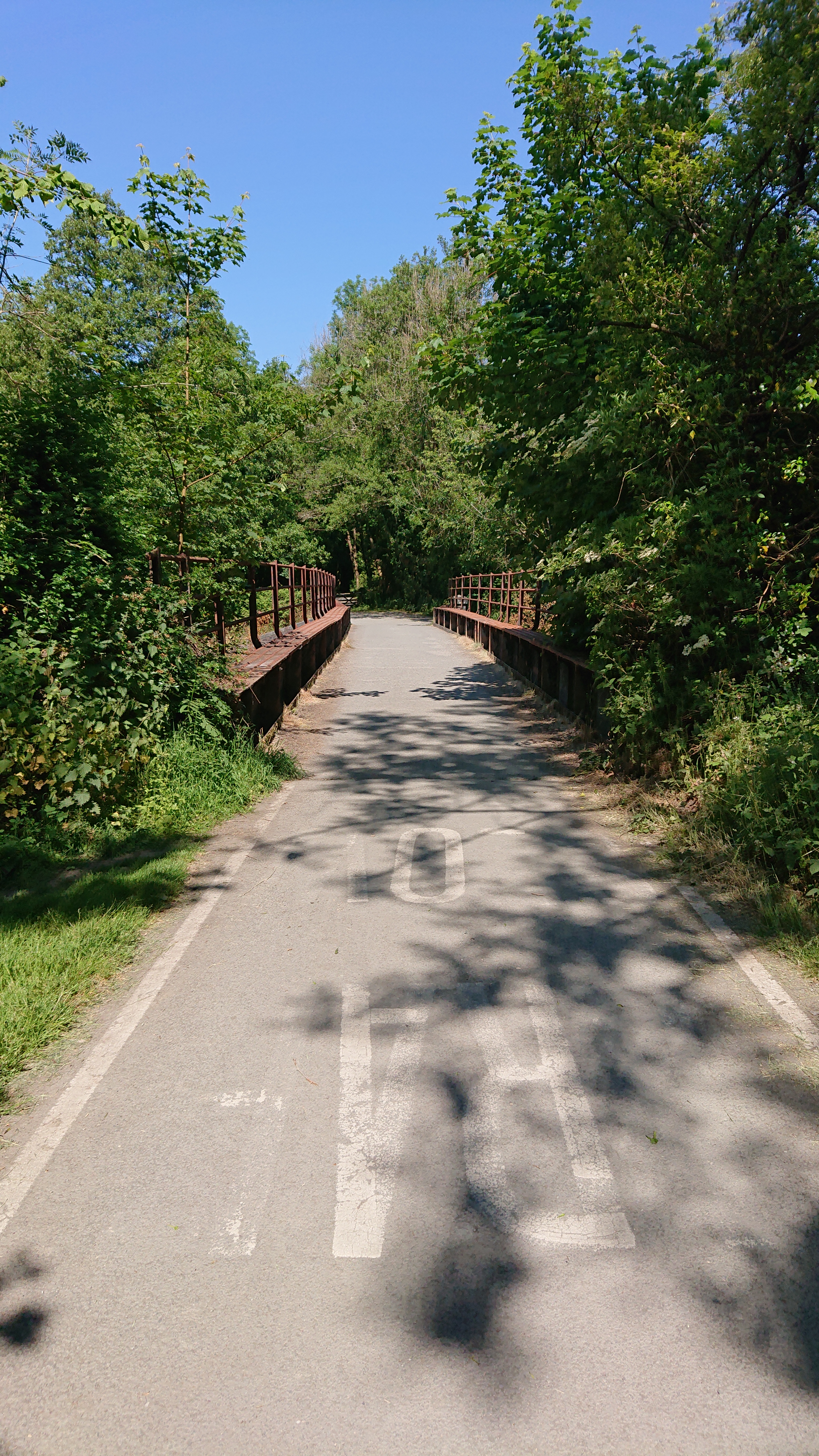
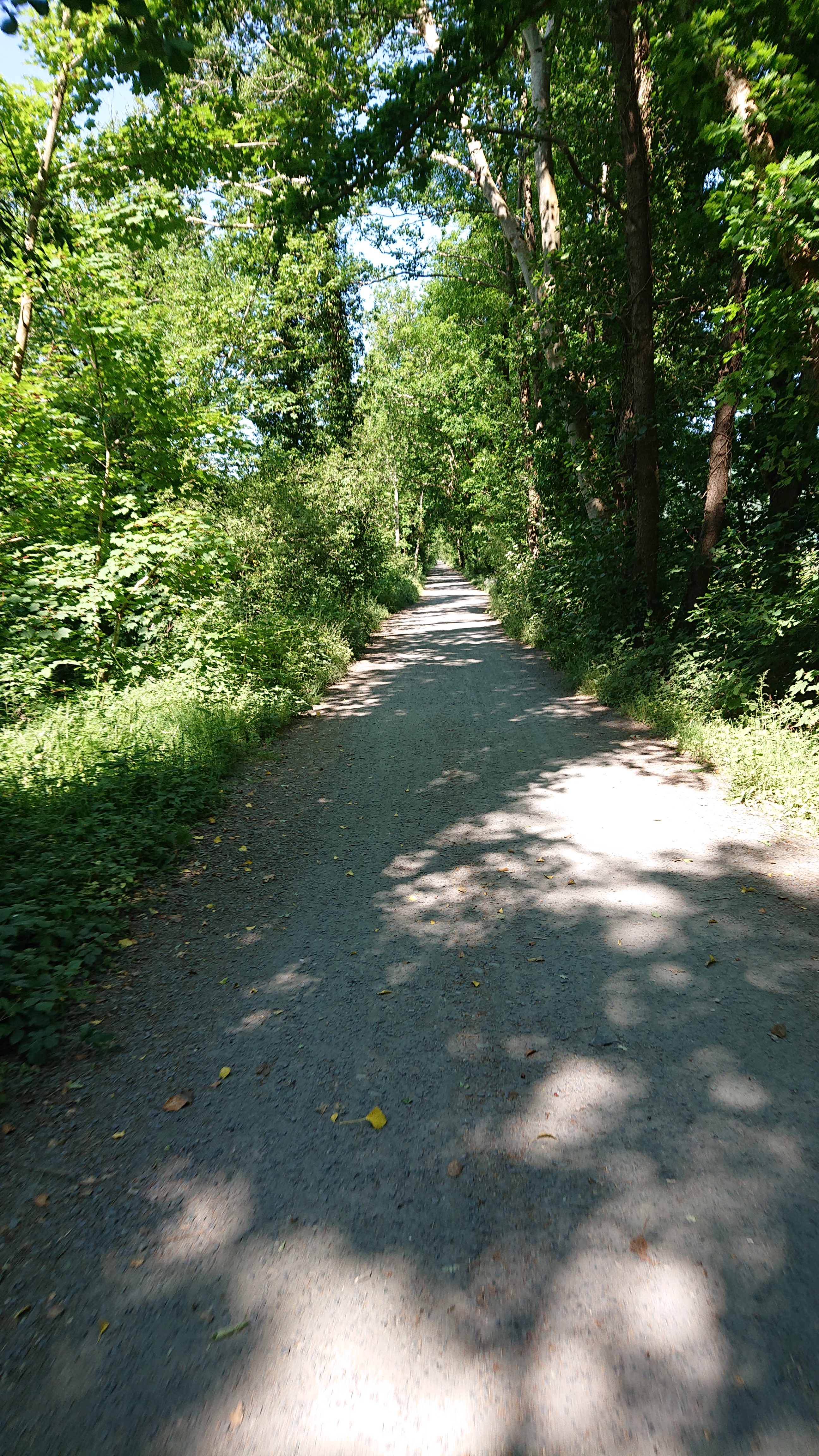
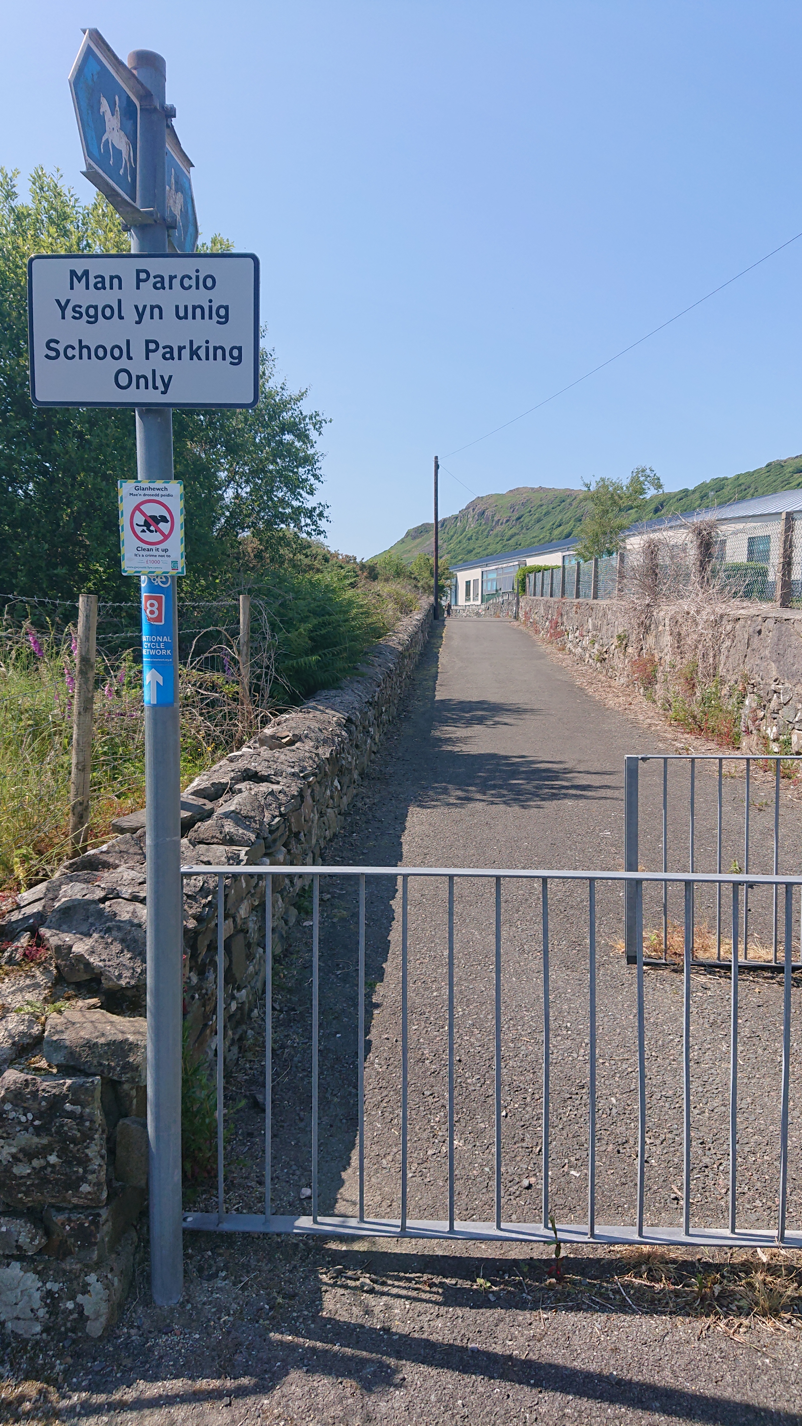
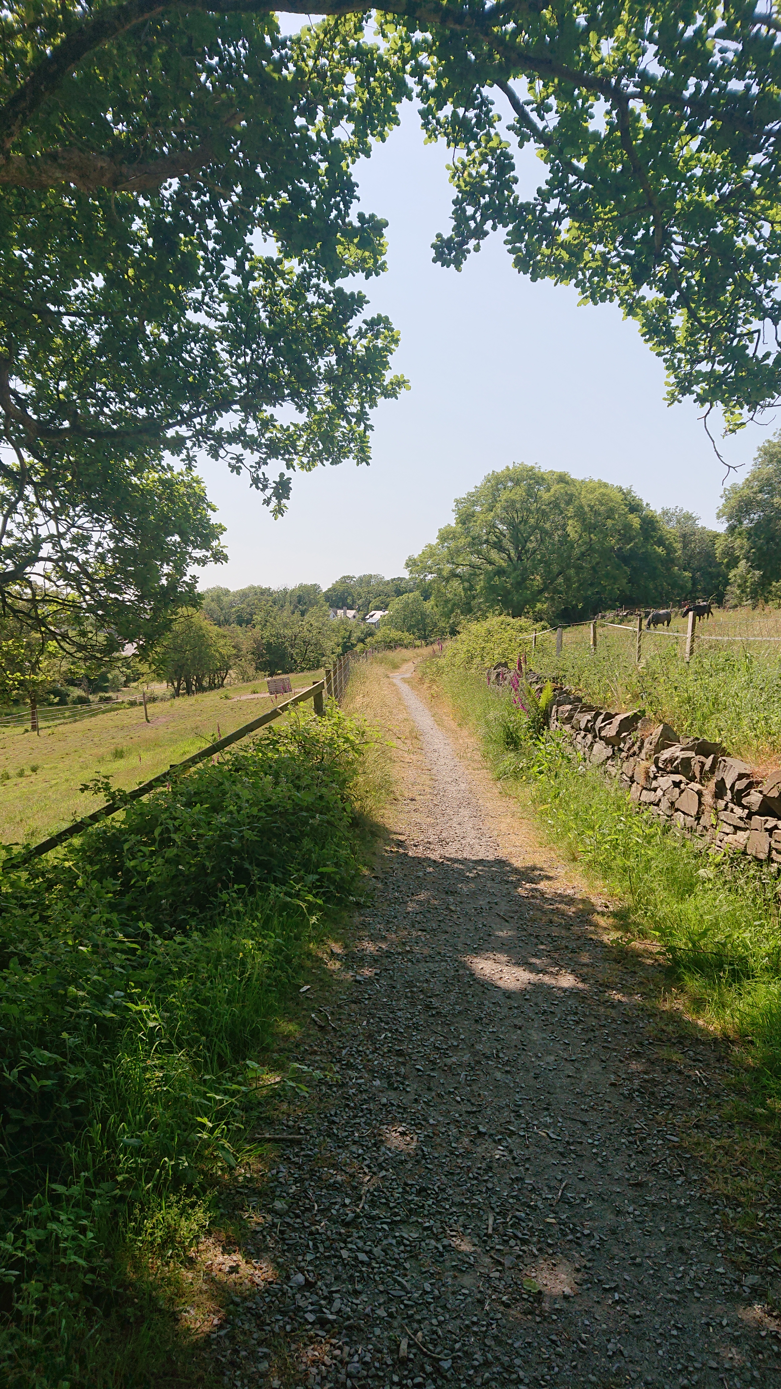
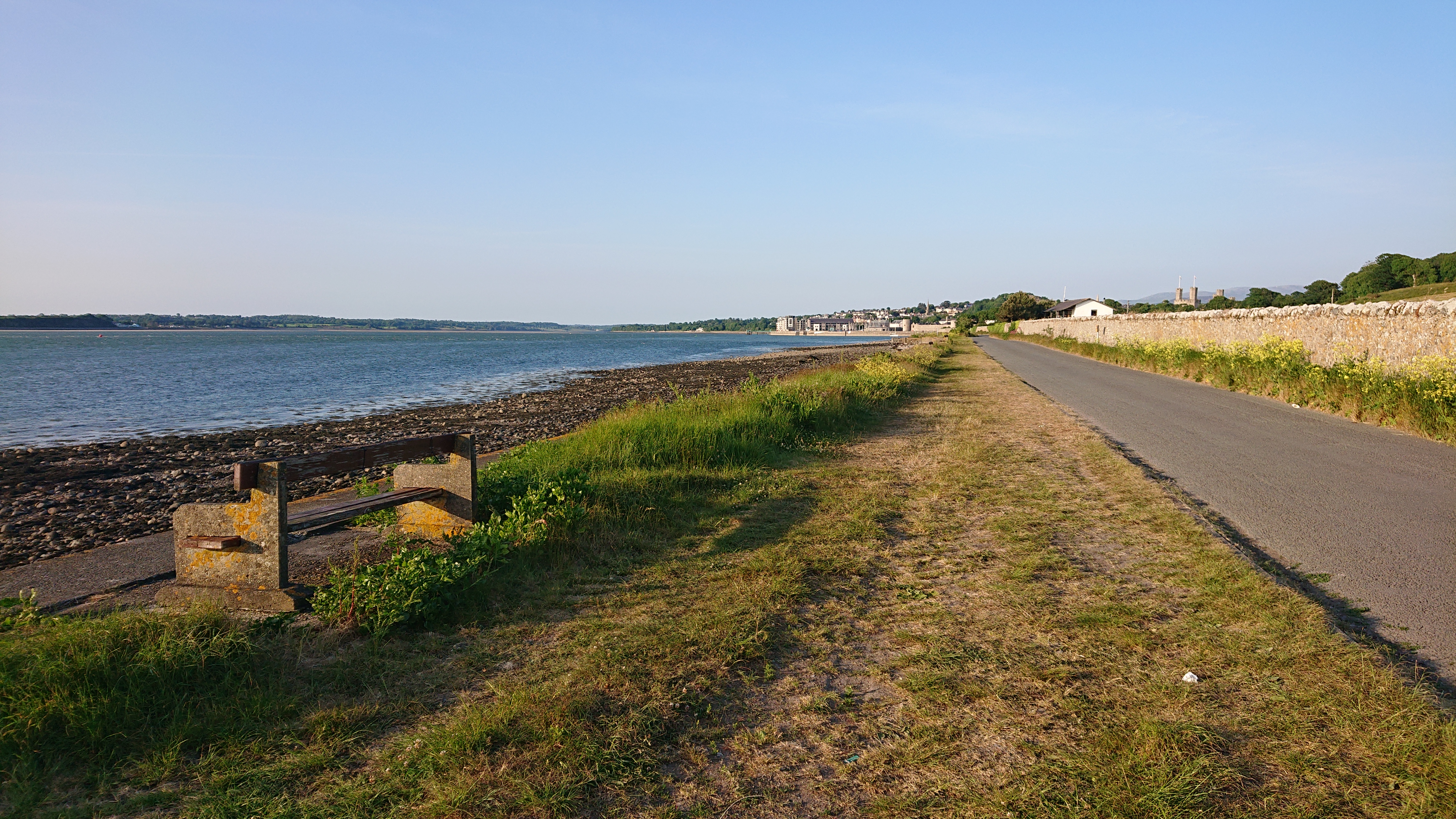
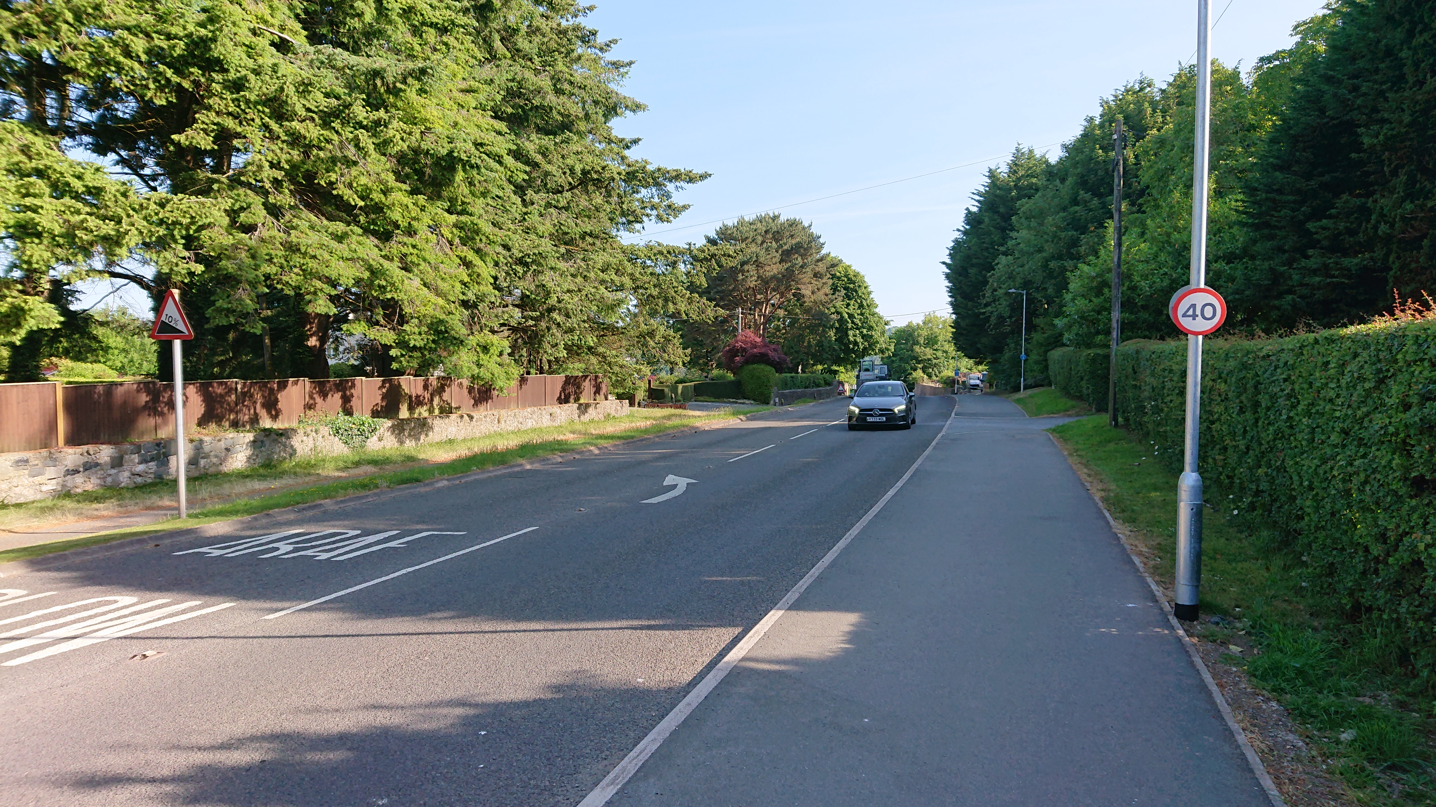
Next day: sunny again!There’d be plenty of time today, but if I had a flexible ferry ticket in case I was quick enough to get there for the earlier ferry. That would make sorting things out for the next day’s wisdom teeth extraction easier. They hadn’t given me much trouble other than the first night at Rosslare.The route from Caernarfon started on some lovely forested paths.The warning for the 10% gradient here must be because it’s the least steep hill in Wales and not expecting this might lead to accidents?!?
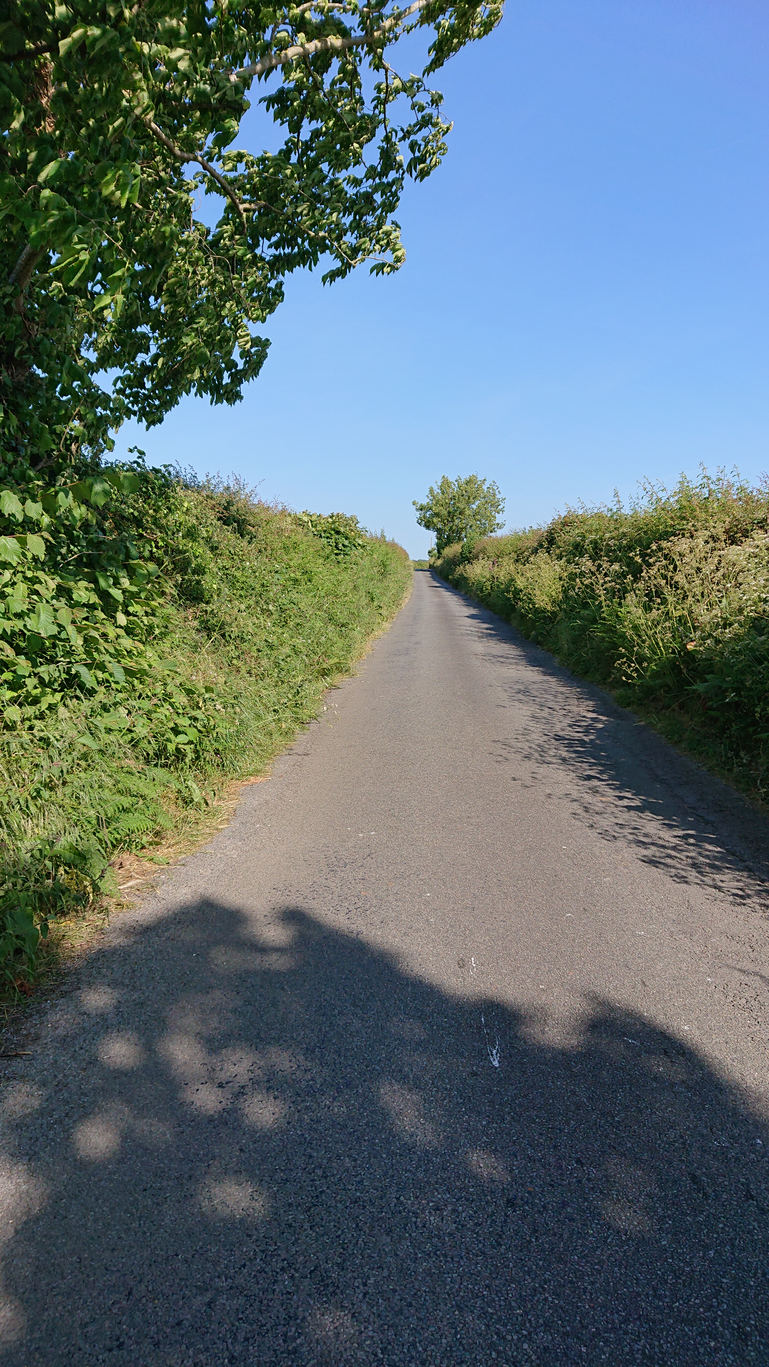
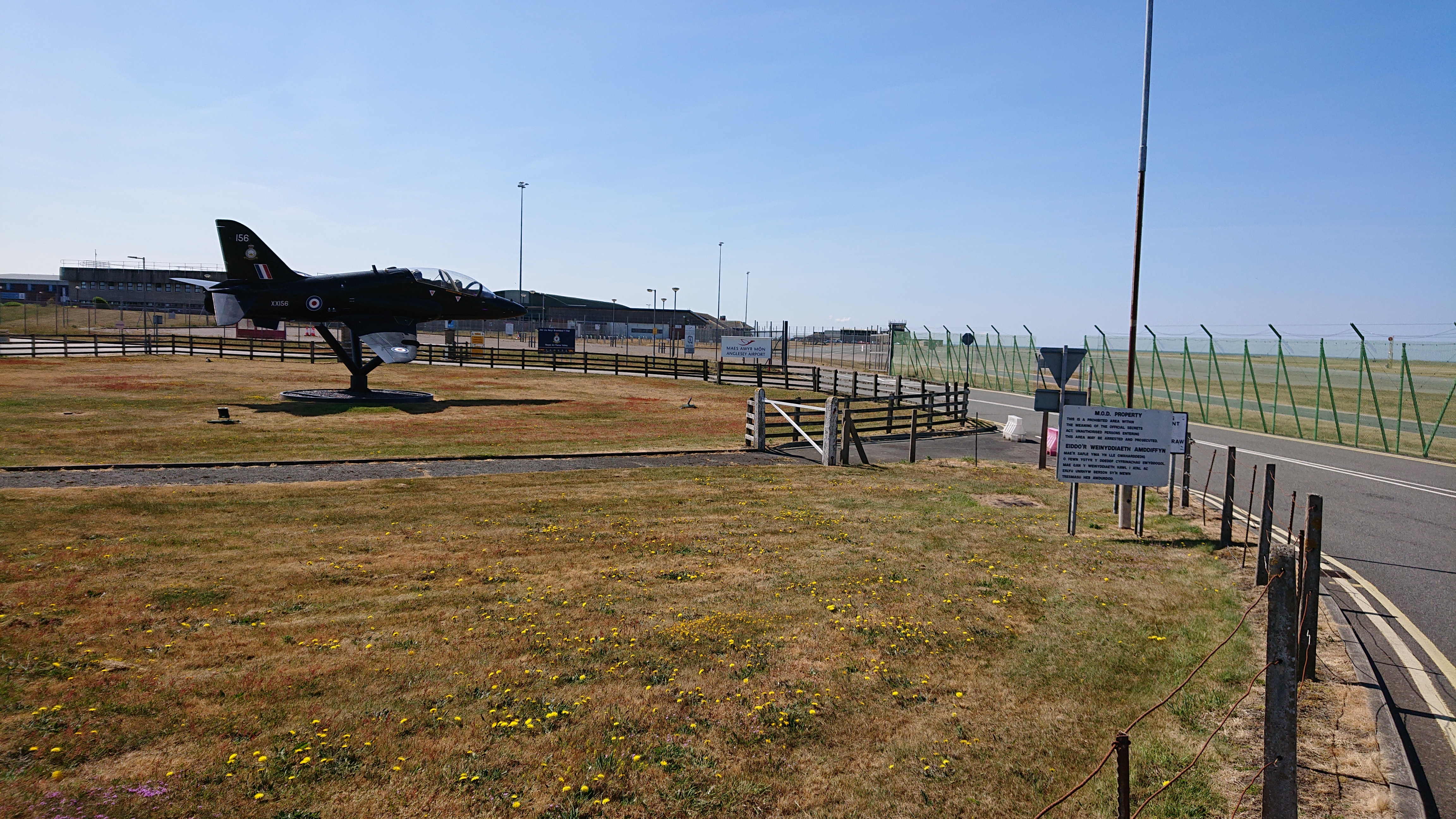
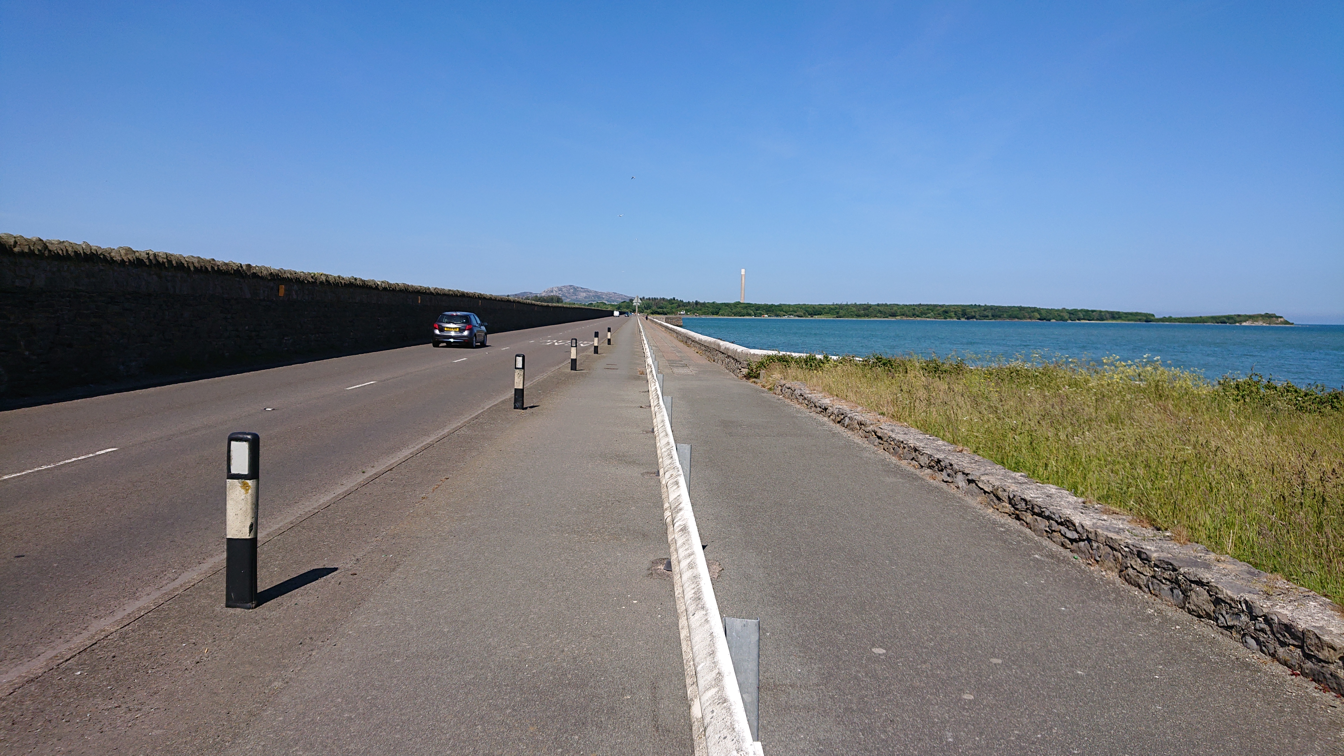
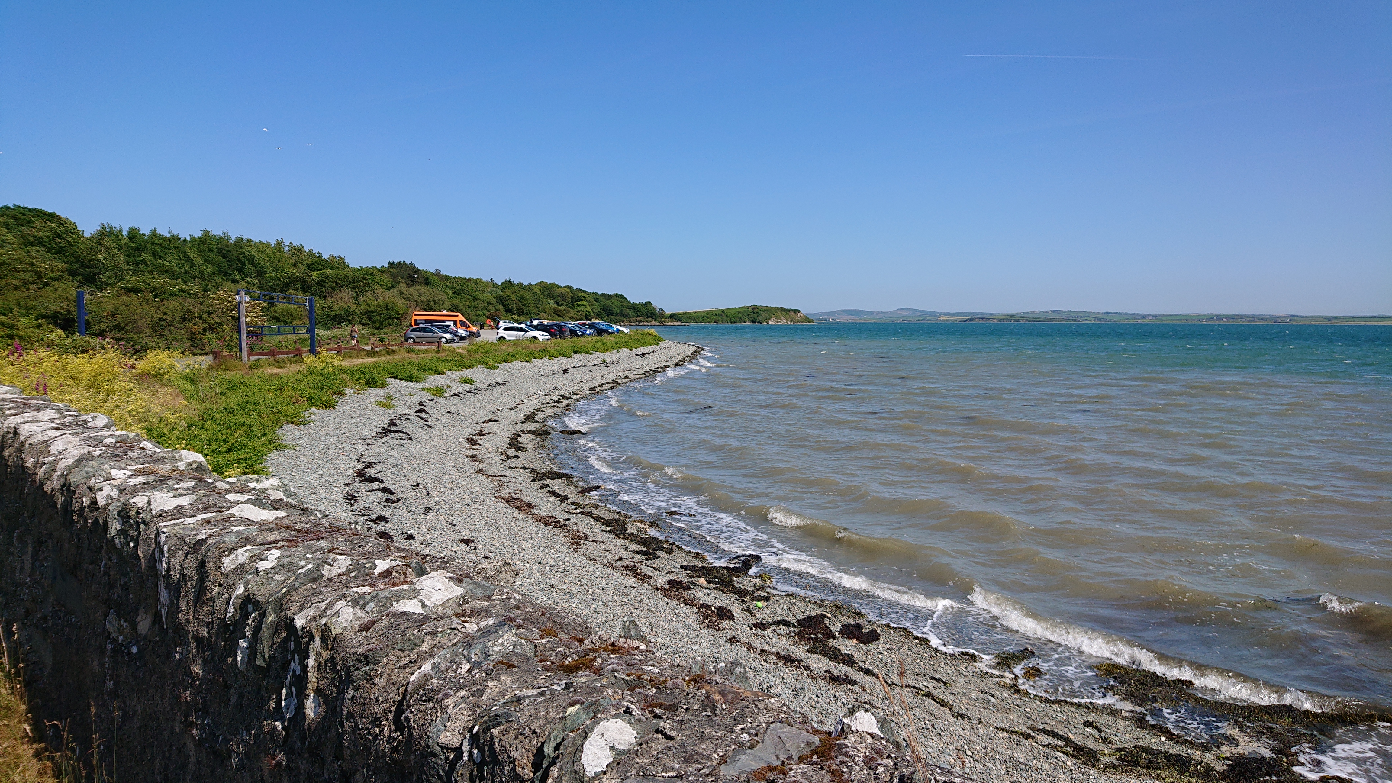
There was some in and out around busy roads for a bit before getting to Anglesey. There was almost always a path to keep you off the road, like this one. Not that you need it here.Anglesey may be an island, but it’s like a different country. Much flatter!Horse!Mainland mountainsWelsh technology!Enough!The causeway towards HolyheadThere were more lovely forested trails that took me into Holyhead.Get the boat!The little shop in the ferry terminal didn’t have milk so I went to Lidl.Leaving Wales behindBack to The Big SmokeSome more familiar hills and my destination once the ferry docked. It seemed much easier to climb in the Dublin hills after the Welsh roads!They had these pixelated photos of people in the ferry. Perhaps you had to guess who they were, but that was clearer on certain phone cameras. Goodbye Tom Jones and your Welsh kingdom!Home again. Whereto next?